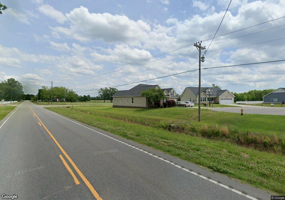
342 Canyon Dr Unit Lot 28 Conway, SC 29526
Estimated Value: $318,293 - $348,000
5
Beds
2
Baths
1,805
Sq Ft
$185/Sq Ft
Est. Value
About This Home
This home is located at 342 Canyon Dr Unit Lot 28, Conway, SC 29526 and is currently estimated at $333,573, approximately $184 per square foot. 342 Canyon Dr Unit Lot 28 is a home located in Horry County with nearby schools including Homewood Elementary School, Whittemore Park Middle School, and Conway High School.
Ownership History
Date
Name
Owned For
Owner Type
Purchase Details
Closed on
Jul 31, 2014
Sold by
Grand Strand Investments Llc
Bought by
Walsh Sandra C
Current Estimated Value
Home Financials for this Owner
Home Financials are based on the most recent Mortgage that was taken out on this home.
Original Mortgage
$150,000
Outstanding Balance
$114,588
Interest Rate
4.16%
Mortgage Type
Future Advance Clause Open End Mortgage
Estimated Equity
$218,985
Purchase Details
Closed on
Mar 18, 2011
Sold by
First Palmetto Savings Bank
Bought by
Bowen Daniel B
Purchase Details
Closed on
Sep 11, 2009
Sold by
Master In Equity Horry County
Bought by
First Palmetto Savings Bank
Purchase Details
Closed on
Jul 6, 2006
Sold by
Summit Land Development Co Llc
Bought by
Ward William E
Home Financials for this Owner
Home Financials are based on the most recent Mortgage that was taken out on this home.
Original Mortgage
$180,000
Interest Rate
6.54%
Mortgage Type
Construction
Create a Home Valuation Report for This Property
The Home Valuation Report is an in-depth analysis detailing your home's value as well as a comparison with similar homes in the area
Home Values in the Area
Average Home Value in this Area
Purchase History
| Date | Buyer | Sale Price | Title Company |
|---|---|---|---|
| Walsh Sandra C | $150,000 | -- | |
| Bowen Daniel B | $147,500 | -- | |
| First Palmetto Savings Bank | $200,000 | -- | |
| Ward William E | $57,900 | None Available |
Source: Public Records
Mortgage History
| Date | Status | Borrower | Loan Amount |
|---|---|---|---|
| Open | Walsh Sandra C | $150,000 | |
| Previous Owner | Ward William E | $180,000 |
Source: Public Records
Tax History Compared to Growth
Tax History
| Year | Tax Paid | Tax Assessment Tax Assessment Total Assessment is a certain percentage of the fair market value that is determined by local assessors to be the total taxable value of land and additions on the property. | Land | Improvement |
|---|---|---|---|---|
| 2024 | $812 | $11,950 | $4,563 | $7,387 |
| 2023 | $812 | $6,838 | $1,329 | $5,509 |
| 2021 | $736 | $8,470 | $1,510 | $6,960 |
| 2020 | $639 | $8,470 | $1,510 | $6,960 |
| 2019 | $639 | $8,470 | $1,510 | $6,960 |
| 2018 | $578 | $5,946 | $1,154 | $4,792 |
| 2017 | $563 | $5,946 | $1,154 | $4,792 |
| 2016 | $0 | $13,733 | $1,154 | $12,579 |
| 2015 | -- | $5,947 | $1,155 | $4,792 |
| 2014 | $520 | $5,947 | $1,155 | $4,792 |
Source: Public Records
Map
Nearby Homes
- 224 Sundrop Way
- 312 Garden Grove St
- 235 Sundrop Way Unit Lot 215
- 304 Canyon Dr
- 324 Garden Grove St Unit Lot 212
- 328 Garden Grove St
- 311 Garden Grove St
- 315 Garden Grove St
- 331 Garden Grove St
- 411 Atamasco Ct
- 345 Garden Grove St
- 350 Garden Grove St
- 357 Garden Grove St
- 362 Garden Grove St
- 366 Garden Grove St
- 365 Garden Grove St
- 370 Garden Grove St
- 379 Garden Grove St
- 1330 Four Mile Rd
- 728 Four Mile Rd
- 221 Apex Dr
- 342 Canyon Dr Unit The Summit
- 342 Canyon Dr
- 338 Canyon Dr
- 217 Apex Dr
- Lot 49 Canyon Dr
- 330 Canyon Dr
- 1115 Four Mile Rd
- 213 Apex Dr
- 325 Canyon Dr Unit Lot 50 The Summit
- 325 Canyon Dr
- 204 Sundrop Way
- 1105 Four Mile Rd
- 0 Apex Unit 1309202
- 329 Canyon Dr
- 214 Apex Dr
- Lot 54 Apex Dr
- 208 Sundrop Way
- 326 Canyon Dr
- 321 Canyon Dr