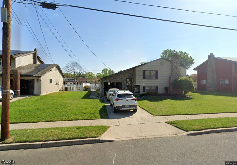
342 Carson Ave Gibbstown, NJ 08027
Estimated Value: $303,000 - $376,000
Studio
--
Bath
1,664
Sq Ft
$200/Sq Ft
Est. Value
About This Home
This home is located at 342 Carson Ave, Gibbstown, NJ 08027 and is currently estimated at $333,421, approximately $200 per square foot. 342 Carson Ave is a home located in Gloucester County with nearby schools including Nehaunsey Middle School and Guardian Angels Regional School.
Ownership History
Date
Name
Owned For
Owner Type
Purchase Details
Closed on
Jun 12, 1996
Sold by
Smith Norman R and Smith Geraldine W
Bought by
Palmo James S
Current Estimated Value
Home Financials for this Owner
Home Financials are based on the most recent Mortgage that was taken out on this home.
Original Mortgage
$96,800
Outstanding Balance
$6,168
Interest Rate
7.97%
Estimated Equity
$327,253
Purchase Details
Closed on
Feb 19, 1995
Sold by
Smith Norman R and Smith Geraldine W
Bought by
Smith Norman R and Smith Geraldine W
Create a Home Valuation Report for This Property
The Home Valuation Report is an in-depth analysis detailing your home's value as well as a comparison with similar homes in the area
Home Values in the Area
Average Home Value in this Area
Purchase History
| Date | Buyer | Sale Price | Title Company |
|---|---|---|---|
| Palmo James S | -- | National Title Agency | |
| Smith Norman R | -- | -- |
Source: Public Records
Mortgage History
| Date | Status | Borrower | Loan Amount |
|---|---|---|---|
| Open | Palmo James S | $96,800 |
Source: Public Records
Tax History
| Year | Tax Paid | Tax Assessment Tax Assessment Total Assessment is a certain percentage of the fair market value that is determined by local assessors to be the total taxable value of land and additions on the property. | Land | Improvement |
|---|---|---|---|---|
| 2025 | $6,277 | $182,300 | $36,500 | $145,800 |
| 2024 | $5,947 | $182,300 | $36,500 | $145,800 |
Source: Public Records
Map
Nearby Homes
- 318 E Broad St
- 135 Mellon Ave
- 268 Memorial Ave
- 0 Swedesboro Ave Unit NJGL2061592
- L18 20 W Broad St
- 255 Elizabeth Ave
- 1311 Penn Line Rd
- 157 S School St
- 269 W Broad St
- 1224 Heddon Ave
- 361 Democrat Rd
- 1003 Hoffman Ave
- 227 W Washington St
- 227 W Buck St
- 101 Giammarino Ave
- 1221 Walter Ave
- 205 W Adams St
- 122 W Washington St
- 1534 Pine St
- 1519 Pine St
Your Personal Tour Guide
Ask me questions while you tour the home.