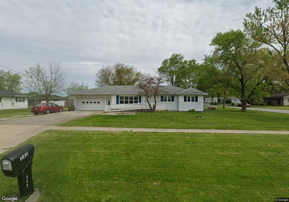
342 Carter Rd Defiance, OH 43512
Estimated Value: $174,000 - $214,000
3
Beds
2
Baths
1,502
Sq Ft
$129/Sq Ft
Est. Value
About This Home
This home is located at 342 Carter Rd, Defiance, OH 43512 and is currently estimated at $193,246, approximately $128 per square foot. 342 Carter Rd is a home located in Defiance County with nearby schools including Defiance Elementary School, Defiance Middle School, and Defiance High School.
Ownership History
Date
Name
Owned For
Owner Type
Purchase Details
Closed on
Jul 20, 2006
Sold by
Us Bank Na
Bought by
Stutzman Vanessa J
Current Estimated Value
Home Financials for this Owner
Home Financials are based on the most recent Mortgage that was taken out on this home.
Original Mortgage
$72,200
Interest Rate
6.49%
Mortgage Type
New Conventional
Purchase Details
Closed on
May 28, 2005
Sold by
Sigg William T and Sigg Patti
Bought by
Sanders Tyler David and Sanders Aimee
Home Financials for this Owner
Home Financials are based on the most recent Mortgage that was taken out on this home.
Original Mortgage
$92,800
Interest Rate
5.91%
Mortgage Type
New Conventional
Purchase Details
Closed on
Nov 24, 2004
Bought by
Stutzman Vanessa J
Create a Home Valuation Report for This Property
The Home Valuation Report is an in-depth analysis detailing your home's value as well as a comparison with similar homes in the area
Home Values in the Area
Average Home Value in this Area
Purchase History
| Date | Buyer | Sale Price | Title Company |
|---|---|---|---|
| Stutzman Vanessa J | -- | None Available | |
| Sanders Tyler David | -- | None Available | |
| Stutzman Vanessa J | $75,000 | -- |
Source: Public Records
Mortgage History
| Date | Status | Borrower | Loan Amount |
|---|---|---|---|
| Previous Owner | Stutzman Vanessa J | $72,200 | |
| Previous Owner | Sanders Tyler David | $92,800 |
Source: Public Records
Tax History Compared to Growth
Tax History
| Year | Tax Paid | Tax Assessment Tax Assessment Total Assessment is a certain percentage of the fair market value that is determined by local assessors to be the total taxable value of land and additions on the property. | Land | Improvement |
|---|---|---|---|---|
| 2024 | $1,627 | $42,230 | $5,970 | $36,260 |
| 2023 | $1,627 | $42,230 | $5,970 | $36,260 |
| 2022 | $1,445 | $33,530 | $5,970 | $27,560 |
| 2021 | $1,445 | $33,530 | $5,970 | $27,560 |
| 2020 | $1,457 | $33,530 | $5,970 | $27,560 |
| 2019 | $1,348 | $30,340 | $5,960 | $24,380 |
| 2018 | $1,311 | $30,340 | $5,960 | $24,380 |
| 2017 | $1,293 | $30,338 | $5,957 | $24,381 |
| 2016 | $1,109 | $25,231 | $4,049 | $21,182 |
| 2015 | $538 | $25,368 | $4,049 | $21,319 |
| 2014 | $538 | $25,368 | $4,049 | $21,319 |
| 2013 | $538 | $25,368 | $4,049 | $21,319 |
| 2012 | $538 | $25,369 | $4,050 | $21,319 |
Source: Public Records
Map
Nearby Homes
- Pattison Plan at Whispering Pines
- Pearson Plan at Whispering Pines
- Portsmouth Plan at Whispering Pines
- 1963 Sherwood Dr
- 0 Jasica Ct
- 1913 Sherwood Dr
- 1673 Evan Dr
- 1646 Palmer Dr
- 1623 Evan Dr
- 2930 S State Route 66
- 603 Wood Cree Ct
- 575 Cleveland Ave
- 00 Melody Ln
- 1692 Durango Dr
- 0 Agnes St
- 786 Miami Dr
- 511 Haig St
- 921 Karnes Ave
- 1820 Ayersville Ave
- 229 Glenwood Dr
- 2268 Royal Oak Ave
- 334 Carter Rd
- 2269 Royal Palm Ave
- 352 Carter Rd
- 2250 Royal Oak Ave
- 2269 Royal Oak Ave
- 2251 Royal Palm Ave
- 2251 Royal Oak Ave
- 2238 Royal Oak Ave
- 316 Carter Rd
- 2237 Royal Palm Ave
- 2268 Royal Palm Ave
- 2235 Royal Oak Ave
- 2254 Royal Palm Ave
- 2224 Royal Oak Ave
- 2223 Royal Palm Ave
- 2230 Royal Palm Ave
- 2219 Royal Oak Ave
- 2277 Jefferson Ave
- 2210 Royal Oak Ave