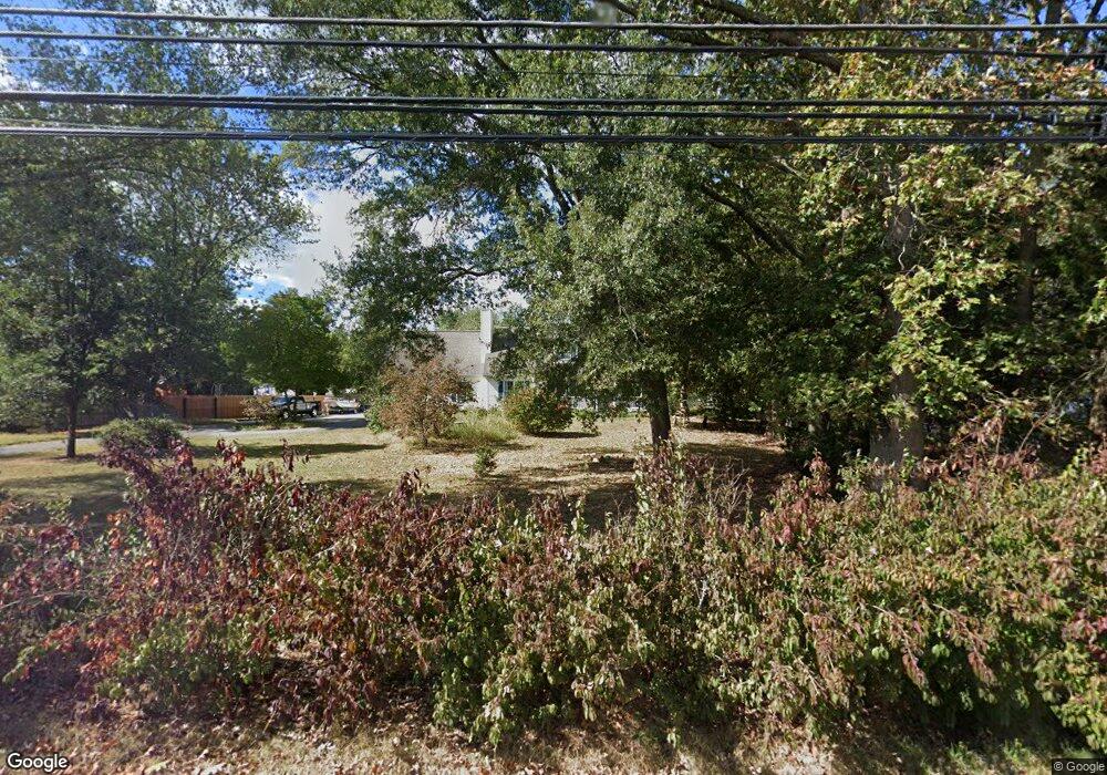
342 Cedarbridge Rd Monroeville, NJ 08343
Estimated Value: $434,000 - $525,000
Studio
--
Bath
2,643
Sq Ft
$185/Sq Ft
Est. Value
About This Home
This home is located at 342 Cedarbridge Rd, Monroeville, NJ 08343 and is currently estimated at $488,077, approximately $184 per square foot. 342 Cedarbridge Rd is a home located in Gloucester County with nearby schools including Aura Elementary School, Delsea Regional Middle School, and Delsea Regional High School.
Ownership History
Date
Name
Owned For
Owner Type
Purchase Details
Closed on
Apr 18, 2002
Sold by
Price Harold and Price Sollie
Bought by
Massott Mary Jane
Current Estimated Value
Home Financials for this Owner
Home Financials are based on the most recent Mortgage that was taken out on this home.
Original Mortgage
$26,600
Outstanding Balance
$11,568
Interest Rate
7.5%
Estimated Equity
$476,509
Create a Home Valuation Report for This Property
The Home Valuation Report is an in-depth analysis detailing your home's value as well as a comparison with similar homes in the area
Home Values in the Area
Average Home Value in this Area
Purchase History
| Date | Buyer | Sale Price | Title Company |
|---|---|---|---|
| Massott Mary Jane | $38,000 | -- |
Source: Public Records
Mortgage History
| Date | Status | Borrower | Loan Amount |
|---|---|---|---|
| Open | Massott Mary Jane | $26,600 |
Source: Public Records
Tax History
| Year | Tax Paid | Tax Assessment Tax Assessment Total Assessment is a certain percentage of the fair market value that is determined by local assessors to be the total taxable value of land and additions on the property. | Land | Improvement |
|---|---|---|---|---|
| 2025 | $10,634 | $295,800 | $66,200 | $229,600 |
| 2024 | $10,735 | $295,800 | $66,200 | $229,600 |
Source: Public Records
Map
Nearby Homes
- 710 Webster Dr
- 706 Hickory Ct
- 211 Hollywood Ave
- 733 Buck Rd
- 755 Buck Rd
- 785 Buck Rd
- 745 W Clayton Ave
- 26 Silver Lake Dr
- 538 Lynne Dr
- 565 Buck Rd
- 100 Jerrys Ave
- 462 Carvin St
- 238 W Center St
- 237 S Delsea Dr
- 100 Aura Rd Unit 206
- 100 Aura Rd Unit 112
- 100 Aura Rd Unit 212
- 100 Aura Rd Unit 311
- 100 Aura Rd Unit 110
- 100 Aura Rd Unit 410
- 338 Cedarbridge Rd
- 209 Daisy Ave
- 350 Cedarbridge Rd
- 213 Daisy Ave
- 327 Cedarbridge Rd
- 324 Cedarbridge Rd
- 323 Cedarbridge Rd
- 221 Daisy Ave
- 404 Cedarbridge Rd
- 214 Daisy Ave
- 214A Daisy Ave
- 320 Cedarbridge Rd
- 723 Webster Dr
- 29 Daisy Ave
- 0 Daisy Ave Unit 6581000
- 725 Webster Dr
- 727 Webster Dr
- 719 Webster Dr
- 317 Cedarbridge Rd
- 717 Webster Dr
Your Personal Tour Guide
Ask me questions while you tour the home.