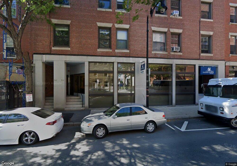
342 Commercial St Unit 8 Boston, MA 02109
North End NeighborhoodEstimated Value: $1,371,000 - $1,826,000
3
Beds
2
Baths
1,473
Sq Ft
$1,107/Sq Ft
Est. Value
About This Home
This home is located at 342 Commercial St Unit 8, Boston, MA 02109 and is currently estimated at $1,631,220, approximately $1,107 per square foot. 342 Commercial St Unit 8 is a home located in Suffolk County with nearby schools including Edward M. Kennedy Academy for Health Careers and Torit Montessori School.
Ownership History
Date
Name
Owned For
Owner Type
Purchase Details
Closed on
Dec 31, 2013
Sold by
Colpitts Douglas B and Ocoonor Patricia V
Bought by
Ward Michael F and Ward Susan L
Current Estimated Value
Home Financials for this Owner
Home Financials are based on the most recent Mortgage that was taken out on this home.
Original Mortgage
$525,000
Outstanding Balance
$395,737
Interest Rate
4.35%
Mortgage Type
Purchase Money Mortgage
Estimated Equity
$1,235,483
Purchase Details
Closed on
Nov 1, 2010
Sold by
Colpitts Douglas B
Bought by
Colpitts Douglas B and Oconnor Patricia
Create a Home Valuation Report for This Property
The Home Valuation Report is an in-depth analysis detailing your home's value as well as a comparison with similar homes in the area
Home Values in the Area
Average Home Value in this Area
Purchase History
| Date | Buyer | Sale Price | Title Company |
|---|---|---|---|
| Ward Michael F | $700,000 | -- | |
| Colpitts Douglas B | -- | -- |
Source: Public Records
Mortgage History
| Date | Status | Borrower | Loan Amount |
|---|---|---|---|
| Open | Ward Michael F | $525,000 |
Source: Public Records
Tax History Compared to Growth
Tax History
| Year | Tax Paid | Tax Assessment Tax Assessment Total Assessment is a certain percentage of the fair market value that is determined by local assessors to be the total taxable value of land and additions on the property. | Land | Improvement |
|---|---|---|---|---|
| 2025 | $14,588 | $1,259,800 | $0 | $1,259,800 |
| 2024 | $13,732 | $1,259,800 | $0 | $1,259,800 |
| 2023 | $13,384 | $1,246,200 | $0 | $1,246,200 |
| 2022 | $13,425 | $1,233,900 | $0 | $1,233,900 |
| 2021 | $13,166 | $1,233,900 | $0 | $1,233,900 |
| 2020 | $12,311 | $1,165,800 | $0 | $1,165,800 |
| 2019 | $11,930 | $1,131,867 | $0 | $1,131,867 |
| 2018 | $11,516 | $1,098,900 | $0 | $1,098,900 |
| 2017 | $11,083 | $1,046,538 | $0 | $1,046,538 |
| 2016 | $10,860 | $987,300 | $0 | $987,300 |
| 2015 | $9,914 | $818,657 | $0 | $818,657 |
| 2014 | $11,565 | $919,300 | $0 | $919,300 |
Source: Public Records
Map
Nearby Homes
- 2.5 Battery Wharf Unit 4302
- 386 Commercial St Unit 4E
- 19 Salutation St Unit 52
- 342-344 North St Unit 1A
- 50 Battery St Unit 103-4
- 343 Commercial St Unit 212
- 0 Fairfield Unit 71812438
- 4 Battery Wharf Unit 4604
- 4 Battery Wharf Unit 4302
- 4 Battery Wharf Unit 4602
- 3 Battery Wharf Unit 3309
- 21 Moon St Unit 2
- 290 North St Unit 4
- 7 Unity St Unit 3
- 220 Commercial St Unit 5A
- 14 N Bennet St Unit 1
- 14 N Bennet St Unit 2
- 4-6 Henchman St Unit 4-6
- 1 Lewis Wharf
- 28 Atlantic Ave Unit 638
- 342 Commercial St Unit 7
- 342 Commercial St Unit 5
- 342 Commercial St Unit 4
- 342 Commercial St Unit 3
- 342 Commercial St Unit 2
- 342 Commercial St Unit 1
- 342 Commercial St Unit PH7
- 342 Commercial St Unit C1
- 342 Commercial St Unit 346
- 342-346 Commercial St Unit C-1
- 365 North St Unit 3
- 365 North St Unit 6
- 338 Commercial St Unit 402
- 338 Commercial St Unit 401
- 338 Commercial St Unit 301
- 338 Commercial St Unit 201
- 338 Commercial St Unit 101
- 348 Commercial St Unit 350
- 350 Commercial St
- 351 North St Unit 7