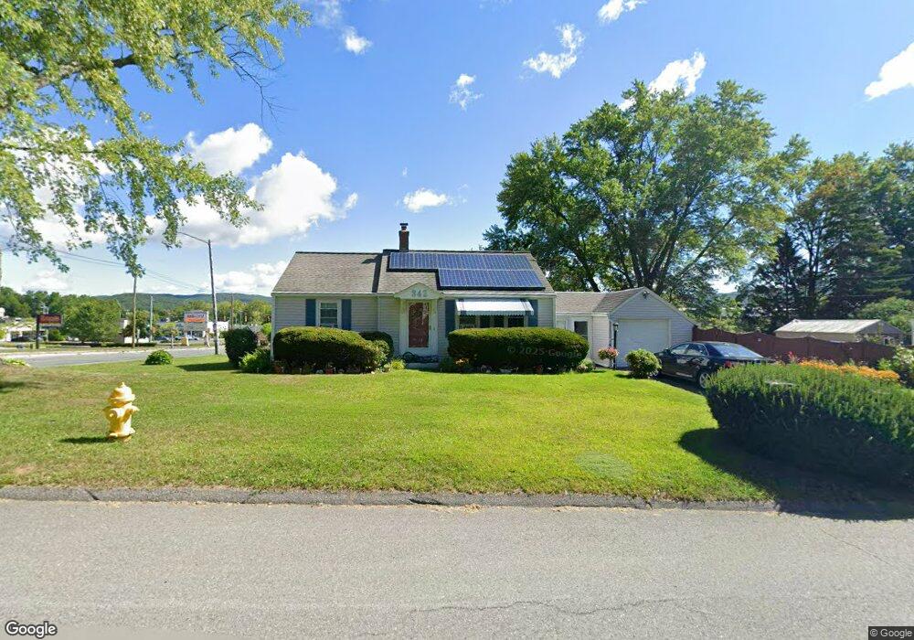
342 Connecticut Ave Pittsfield, MA 01201
Estimated Value: $245,000 - $253,402
2
Beds
1
Bath
929
Sq Ft
$268/Sq Ft
Est. Value
About This Home
This home is located at 342 Connecticut Ave, Pittsfield, MA 01201 and is currently estimated at $249,351, approximately $268 per square foot. 342 Connecticut Ave is a home located in Berkshire County with nearby schools including Allendale Elementary School, Theodore Herberg Middle School, and Pittsfield High School.
Ownership History
Date
Name
Owned For
Owner Type
Purchase Details
Closed on
Jan 26, 2022
Sold by
Thornton James J and Thornton Linda L
Bought by
Thornton Linda L
Current Estimated Value
Purchase Details
Closed on
May 30, 1975
Bought by
Thornton James J and Thornton Linda L
Create a Home Valuation Report for This Property
The Home Valuation Report is an in-depth analysis detailing your home's value as well as a comparison with similar homes in the area
Home Values in the Area
Average Home Value in this Area
Purchase History
| Date | Buyer | Sale Price | Title Company |
|---|---|---|---|
| Thornton Linda L | -- | None Available | |
| Thornton Linda L | -- | None Available | |
| Thornton Linda L | -- | None Available | |
| Thornton James J | -- | -- |
Source: Public Records
Mortgage History
| Date | Status | Borrower | Loan Amount |
|---|---|---|---|
| Previous Owner | Thornton James J | $75,000 |
Source: Public Records
Tax History Compared to Growth
Tax History
| Year | Tax Paid | Tax Assessment Tax Assessment Total Assessment is a certain percentage of the fair market value that is determined by local assessors to be the total taxable value of land and additions on the property. | Land | Improvement |
|---|---|---|---|---|
| 2025 | $4,157 | $231,700 | $67,400 | $164,300 |
| 2024 | $3,823 | $207,200 | $67,400 | $139,800 |
| 2023 | $3,565 | $194,600 | $67,400 | $127,200 |
| 2022 | $3,304 | $178,000 | $67,400 | $110,600 |
| 2021 | $2,976 | $154,600 | $67,400 | $87,200 |
| 2020 | $2,752 | $139,600 | $55,400 | $84,200 |
| 2019 | $2,556 | $131,600 | $50,100 | $81,500 |
| 2018 | $2,482 | $129,700 | $50,100 | $79,600 |
| 2017 | $2,452 | $124,900 | $48,200 | $76,700 |
| 2016 | $2,336 | $124,500 | $48,200 | $76,300 |
| 2015 | $2,248 | $124,500 | $48,200 | $76,300 |
Source: Public Records
Map
Nearby Homes
- 25 Kensington Ave
- 38 Allengate Ave
- 326 Dalton Ave
- 122 Allengate Ave
- 165 Connecticut Ave
- 45 Patricia Ave
- 81 Dartmouth St Unit 102
- 11 Stanley Ave
- 98 Oak Hill Rd
- 46 Bossidy Dr
- 40 Roland St
- 52 Bossidy Dr
- 41 Perrine Ave
- 127 Oak Hill Rd
- 82 Williamsburg Terrace
- 919 Tyler St
- 50 Grand Ave
- 134 Oak Hill Rd
- 14 Allessio St
- 156 Draper Ave
- 444 Dalton Ave
- 334 Connecticut Ave
- 448 Dalton Ave
- 428 Dalton Ave
- 12 Plastics Ave
- 4 Plastics Ave
- 424 Dalton Ave
- 439 Dalton Ave
- 3 S Carolina Ave
- 16 Plastics Ave
- 441 Dalton Ave
- 420 Dalton Ave
- 20 Plastics Ave
- 7 S Carolina Ave
- 315 Connecticut Ave
- 24 Plastics Ave
- 414 Dalton Ave
- 423 Dalton Ave
- 11 S Carolina Ave
- 16 Yorkshire Ave