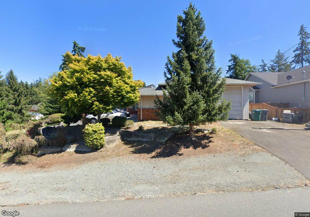
342 Edinburgh Dr Camano Island, WA 98282
Estimated Value: $677,000 - $750,000
2
Beds
2
Baths
1,852
Sq Ft
$388/Sq Ft
Est. Value
About This Home
This home is located at 342 Edinburgh Dr, Camano Island, WA 98282 and is currently estimated at $717,810, approximately $387 per square foot. 342 Edinburgh Dr is a home located in Island County with nearby schools including Utsalady Elementary School, Port Susan Middle School, and Stanwood High School.
Ownership History
Date
Name
Owned For
Owner Type
Purchase Details
Closed on
Apr 26, 2021
Sold by
Nelson David B and Nelson Sharon Marie
Bought by
Nelson David B
Current Estimated Value
Home Financials for this Owner
Home Financials are based on the most recent Mortgage that was taken out on this home.
Original Mortgage
$282,000
Interest Rate
3.1%
Mortgage Type
New Conventional
Purchase Details
Closed on
Apr 28, 2010
Sold by
Snow Jonathan M and Snow Barbara A
Bought by
Nelson David B and Nelson Sharon M
Home Financials for this Owner
Home Financials are based on the most recent Mortgage that was taken out on this home.
Original Mortgage
$284,000
Interest Rate
5.21%
Mortgage Type
New Conventional
Purchase Details
Closed on
Jan 13, 2005
Sold by
Roney James D and Roney Marsha D
Bought by
Snow Jonathan M and Snow Barbara A
Create a Home Valuation Report for This Property
The Home Valuation Report is an in-depth analysis detailing your home's value as well as a comparison with similar homes in the area
Home Values in the Area
Average Home Value in this Area
Purchase History
| Date | Buyer | Sale Price | Title Company |
|---|---|---|---|
| Nelson David B | $313 | None Listed On Document | |
| Nelson David B | $365,000 | Chicago Title Insurance Co | |
| Snow Jonathan M | $330,000 | Chicago Title Co Island Div |
Source: Public Records
Mortgage History
| Date | Status | Borrower | Loan Amount |
|---|---|---|---|
| Previous Owner | Nelson David B | $282,000 | |
| Previous Owner | Nelson David B | $284,000 |
Source: Public Records
Tax History Compared to Growth
Tax History
| Year | Tax Paid | Tax Assessment Tax Assessment Total Assessment is a certain percentage of the fair market value that is determined by local assessors to be the total taxable value of land and additions on the property. | Land | Improvement |
|---|---|---|---|---|
| 2024 | $5,210 | $665,582 | $250,000 | $415,582 |
| 2023 | $5,210 | $670,894 | $250,000 | $420,894 |
| 2022 | $4,660 | $595,914 | $210,000 | $385,914 |
| 2021 | $4,441 | $496,407 | $165,000 | $331,407 |
| 2020 | $4,055 | $458,054 | $135,000 | $323,054 |
| 2019 | $3,761 | $412,003 | $175,000 | $237,003 |
| 2018 | $3,600 | $382,730 | $145,000 | $237,730 |
| 2017 | $3,134 | $339,189 | $100,000 | $239,189 |
| 2016 | $2,911 | $327,106 | $85,000 | $242,106 |
| 2015 | -- | $291,629 | $65,000 | $226,629 |
| 2013 | -- | $287,023 | $55,000 | $232,023 |
Source: Public Records
Map
Nearby Homes
- 335 Heather Dr
- 269 E Lochwood Dr
- 355 Selkirk Dr
- 302 Melrose Dr
- 230 Heather Dr
- 474 Stirling Dr
- 0 E Shumway Rd
- 362 N Sunrise Blvd
- 105 N Sunrise Blvd
- 251 Goodrich Rd
- 245 David St
- 244 David St
- 0 Dodge Rd Unit NWM2434437
- 0 Dodge Rd Unit NWM2434435
- 563 Waynes Ridge Cir
- 441 Windsun Way
- 221 Baker View Ln
- 230 Rocky Mountain High Rd
- 185 Chick Rd
- 828 State Highway 532
- 348 E Lochwood Dr
- 0 Lot 152 Prestwick Dr Unit 781147
- 330 Prestwick Dr
- 341 Edinburgh Dr
- 329 Lochwood Dr
- 352 Lochwood Dr
- 326 Prestwick Dr
- 323 Lochwood Dr
- 314 Lochwood Dr
- 329 Heather Dr
- 325 Heather Dr
- 311 Prestwick Dr
- 322 Edinburgh Dr
- 321 Heather Dr
- 319 Lochwood Dr
- 354 Lochwood Dr
- 308 Lochwood Dr
- 341 Heather Dr
- 316 Prestwick Dr
- 313 E Lochwood Dr