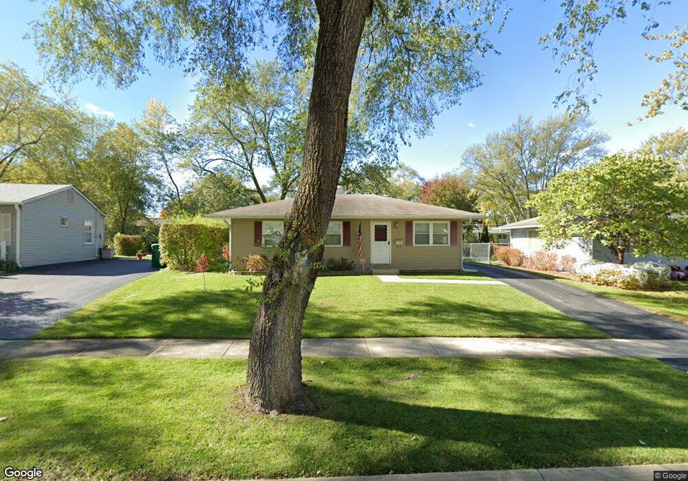
342 Hiawatha Dr Buffalo Grove, IL 60089
South Buffalo Grove NeighborhoodEstimated Value: $303,000 - $345,826
2
Beds
2
Baths
864
Sq Ft
$380/Sq Ft
Est. Value
About This Home
This home is located at 342 Hiawatha Dr, Buffalo Grove, IL 60089 and is currently estimated at $327,957, approximately $379 per square foot. 342 Hiawatha Dr is a home located in Cook County with nearby schools including Joyce Kilmer Elementary School, Cooper Middle School, and Buffalo Grove High School.
Ownership History
Date
Name
Owned For
Owner Type
Purchase Details
Closed on
Oct 7, 2003
Sold by
Morris Pauline June
Bought by
Anderson Eric A and Anderson Jennifer L
Current Estimated Value
Home Financials for this Owner
Home Financials are based on the most recent Mortgage that was taken out on this home.
Original Mortgage
$182,400
Outstanding Balance
$85,235
Interest Rate
6.23%
Mortgage Type
Unknown
Estimated Equity
$242,722
Create a Home Valuation Report for This Property
The Home Valuation Report is an in-depth analysis detailing your home's value as well as a comparison with similar homes in the area
Home Values in the Area
Average Home Value in this Area
Purchase History
| Date | Buyer | Sale Price | Title Company |
|---|---|---|---|
| Anderson Eric A | $228,000 | First American Title |
Source: Public Records
Mortgage History
| Date | Status | Borrower | Loan Amount |
|---|---|---|---|
| Open | Anderson Eric A | $182,400 |
Source: Public Records
Tax History Compared to Growth
Tax History
| Year | Tax Paid | Tax Assessment Tax Assessment Total Assessment is a certain percentage of the fair market value that is determined by local assessors to be the total taxable value of land and additions on the property. | Land | Improvement |
|---|---|---|---|---|
| 2024 | $6,300 | $23,000 | $6,057 | $16,943 |
| 2023 | $6,029 | $23,000 | $6,057 | $16,943 |
| 2022 | $6,029 | $23,000 | $6,057 | $16,943 |
| 2021 | $6,391 | $21,419 | $3,869 | $17,550 |
| 2020 | $6,297 | $21,419 | $3,869 | $17,550 |
| 2019 | $6,291 | $23,747 | $3,869 | $19,878 |
| 2018 | $6,097 | $21,138 | $3,365 | $17,773 |
| 2017 | $6,005 | $21,138 | $3,365 | $17,773 |
| 2016 | $5,855 | $21,138 | $3,365 | $17,773 |
| 2015 | $5,230 | $18,018 | $2,860 | $15,158 |
| 2014 | $5,162 | $18,018 | $2,860 | $15,158 |
| 2013 | $4,753 | $18,018 | $2,860 | $15,158 |
Source: Public Records
Map
Nearby Homes
- 310 Rosewood Ave
- 455 Mayfair Ln
- 476 Raupp Blvd
- 222 St Marys Pkwy
- 234 Mohawk Trail
- 183 Saint Marys Pkwy
- 98 Glendale Rd
- 250 Old Oak Dr Unit 275
- 410 Chatham Cir
- 632 White Pine Rd
- 535 Estate Dr
- 10 Old Oak Dr Unit 103
- 671 Hapsfield Ln Unit 105
- 329 Timber Hill Rd
- 408 Indian Hill Dr
- 51 Old Oak Dr Unit 302
- 921 Bernard Dr
- 98 Stonegate Rd
- 859 Beechwood Rd
- 813 Stradford Cir Unit 21B2
- 332 Hiawatha Dr
- 352 Hiawatha Dr
- 337 Rosewood Ave
- 345 Rosewood Ave
- 324 Hiawatha Dr
- 329 Rosewood Ave
- 360 Hiawatha Dr
- 355 Rosewood Ave
- 337 Hiawatha Dr
- 314 Hiawatha Dr
- 319 Rosewood Ave
- 327 Hiawatha Dr
- 367 Rosewood Ave
- 370 Hiawatha Dr
- 319 Hiawatha Dr
- 361 Hiawatha Dr
- 309 Rosewood Ave
- 377 Rosewood Ave
- 304 Hiawatha Dr
- 309 Hiawatha Dr