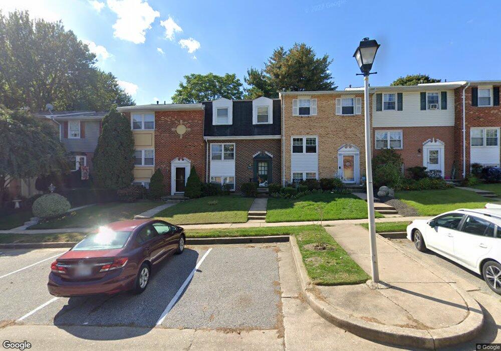
342 High Knob Ln Reisterstown, MD 21136
Estimated Value: $274,660 - $296,000
--
Bed
3
Baths
1,280
Sq Ft
$222/Sq Ft
Est. Value
About This Home
This home is located at 342 High Knob Ln, Reisterstown, MD 21136 and is currently estimated at $284,165, approximately $222 per square foot. 342 High Knob Ln is a home located in Baltimore County with nearby schools including Glyndon Elementary School, Franklin Middle, and Franklin High.
Ownership History
Date
Name
Owned For
Owner Type
Purchase Details
Closed on
Mar 12, 2003
Sold by
Wroten Lori L
Bought by
Segal Abraham
Current Estimated Value
Purchase Details
Closed on
Dec 18, 1995
Sold by
Stanley Edward J
Bought by
Wroten Lori L
Purchase Details
Closed on
May 25, 1984
Sold by
Boeh Daniel P
Bought by
Stanley Edward J
Create a Home Valuation Report for This Property
The Home Valuation Report is an in-depth analysis detailing your home's value as well as a comparison with similar homes in the area
Home Values in the Area
Average Home Value in this Area
Purchase History
| Date | Buyer | Sale Price | Title Company |
|---|---|---|---|
| Segal Abraham | $113,500 | -- | |
| Wroten Lori L | $85,900 | -- | |
| Stanley Edward J | $59,900 | -- |
Source: Public Records
Tax History Compared to Growth
Tax History
| Year | Tax Paid | Tax Assessment Tax Assessment Total Assessment is a certain percentage of the fair market value that is determined by local assessors to be the total taxable value of land and additions on the property. | Land | Improvement |
|---|---|---|---|---|
| 2025 | $2,765 | $198,067 | -- | -- |
| 2024 | $2,765 | $177,900 | $45,000 | $132,900 |
| 2023 | $1,354 | $175,800 | $0 | $0 |
| 2022 | $2,526 | $173,700 | $0 | $0 |
| 2021 | $2,386 | $171,600 | $45,000 | $126,600 |
| 2020 | $2,386 | $162,600 | $0 | $0 |
| 2019 | $2,304 | $153,600 | $0 | $0 |
| 2018 | $2,162 | $144,600 | $45,000 | $99,600 |
| 2017 | $2,064 | $143,100 | $0 | $0 |
| 2016 | $1,837 | $141,600 | $0 | $0 |
| 2015 | $1,837 | $140,100 | $0 | $0 |
| 2014 | $1,837 | $140,100 | $0 | $0 |
Source: Public Records
Map
Nearby Homes
- 15 Gloucester Ct
- 12 Greensborough Rd
- 10 Greensborough Rd
- 12314 Bonfire Dr
- 3 Meadow Mist Ct
- 120 Lamport Rd
- 10 Simpson Ct
- 1 Brampton Ct
- 611 Brickston Rd
- 648 Glynock Place
- 13 Bellinger Ct
- 225 Highmeadow Rd
- 7 Putman Ct
- 12406 Old Grey Mare Ct
- 341 Central Ave
- 259 E Chatsworth Ave
- 65A Bond Ave
- 10944 Baskerville Rd
- 215 Greenview Ave
- 223 New Ave
- 344 High Knob Ln
- 346 High Knob Ln
- 340 High Knob Ln
- 348 High Knob Ln
- 338 High Knob Ln
- 336 High Knob Ln
- 334 High Knob Ln
- 401 Benton Woods Ln
- 332 High Knob Ln
- 403 Benton Woods Ln
- 345 High Knob Ln
- 343 High Knob Ln
- 330 High Knob Ln
- 347 High Knob Ln
- 401 Nettle Hill Ln
- 403 Nettle Hill Ln
- 405 Nettle Hill Ln
- 349 High Knob Ln
- 405 Benton Woods Ln
- 407 Nettle Hill Ln