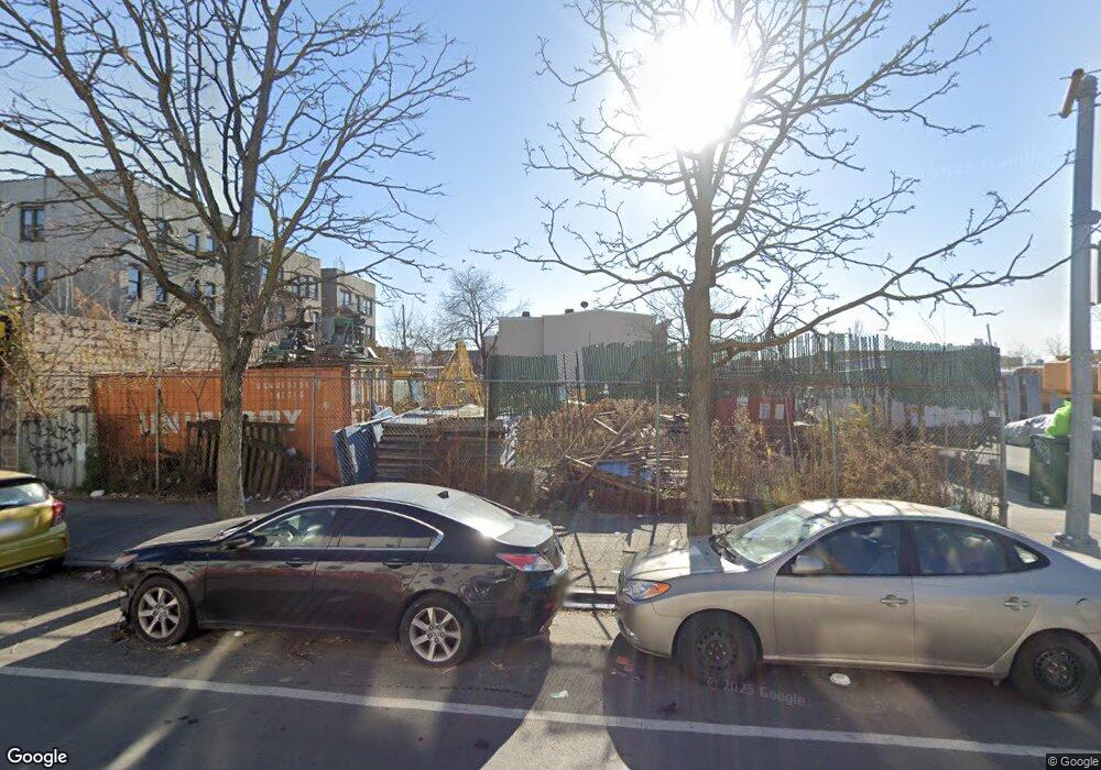
342 Liberty Ave Brooklyn, NY 11207
Brownsville Neighborhood
--
Bed
--
Bath
2,779
Sq Ft
2,265
Sq Ft Lot
About This Home
This home is located at 342 Liberty Ave, Brooklyn, NY 11207. 342 Liberty Ave is a home located in Kings County with nearby schools including J.H.S 292 Margaret S. Douglas, Salve Regina Catholic Academy, and Trey Whitfield School.
Ownership History
Date
Name
Owned For
Owner Type
Purchase Details
Closed on
Jan 19, 2005
Sold by
Liberty Homes Llc
Bought by
Nancy Holding Corp
Purchase Details
Closed on
Dec 4, 1997
Sold by
Johnson Byron
Bought by
Liberty Homes Llc
Home Financials for this Owner
Home Financials are based on the most recent Mortgage that was taken out on this home.
Original Mortgage
$227,000
Interest Rate
8%
Mortgage Type
Seller Take Back
Purchase Details
Closed on
Oct 21, 1997
Sold by
Cooper Ronald
Bought by
Johnson Byron
Home Financials for this Owner
Home Financials are based on the most recent Mortgage that was taken out on this home.
Original Mortgage
$227,000
Interest Rate
8%
Mortgage Type
Seller Take Back
Create a Home Valuation Report for This Property
The Home Valuation Report is an in-depth analysis detailing your home's value as well as a comparison with similar homes in the area
Home Values in the Area
Average Home Value in this Area
Purchase History
| Date | Buyer | Sale Price | Title Company |
|---|---|---|---|
| Nancy Holding Corp | $1,000 | -- | |
| Liberty Homes Llc | $165,000 | First American Title Ins Co | |
| Johnson Byron | -- | First American Title Ins Co |
Source: Public Records
Mortgage History
| Date | Status | Borrower | Loan Amount |
|---|---|---|---|
| Previous Owner | Liberty Homes Llc | $227,000 |
Source: Public Records
Tax History Compared to Growth
Tax History
| Year | Tax Paid | Tax Assessment Tax Assessment Total Assessment is a certain percentage of the fair market value that is determined by local assessors to be the total taxable value of land and additions on the property. | Land | Improvement |
|---|---|---|---|---|
| 2025 | $2,612 | $25,965 | $25,965 | -- |
| 2024 | $2,612 | $25,200 | $25,200 | $0 |
| 2023 | $2,587 | $24,300 | $24,300 | $0 |
| 2022 | $2,517 | $23,400 | $23,400 | $0 |
| 2021 | $2,406 | $22,500 | $22,500 | $0 |
| 2020 | $2,791 | $27,000 | $27,000 | $0 |
| 2019 | $2,650 | $27,000 | $27,000 | $0 |
| 2018 | $2,545 | $26,100 | $26,100 | $0 |
| 2017 | $2,460 | $25,200 | $25,200 | $0 |
| 2016 | $2,408 | $24,300 | $24,300 | $0 |
| 2015 | $1,414 | $23,400 | $23,400 | $0 |
| 2014 | $1,414 | $22,050 | $22,050 | $0 |
Source: Public Records
Map
Nearby Homes
- 34&36 Marginal St
- 159 Wyona St
- 45 Hinsdale St
- 243 Wyona St
- 297 Pennsylvania Ave
- 207 Bradford St
- 22 Hinsdale St
- 90 Wyona St
- 317 Pennsylvania Ave
- 459 Belmont Ave
- 663 Sutter Ave
- 667 Sutter Ave
- 342 Wyona St
- 174 van Siclen Ave
- 2210 Pitkin Ave
- 57 Wyona St
- 168 Miller Ave
- 2735 Fulton St
- 353 Pennsylvania Ave
- 279 van Siclen Ave
- 344 Liberty Ave
- 346 Liberty Ave
- 348 Liberty Ave
- 340 Liberty Ave
- 139 Sheffield Ave
- 145 Sheffield Ave
- 144 Pennsylvania Ave
- 140-142 Pennsylvania Ave
- 339 Liberty Ave
- 158 Pennsylvania Ave
- 343 Liberty Ave
- 345 Liberty Ave
- 341 Liberty Ave
- 153 Sheffield Ave
- 138 Pennsylvania Ave
- 164 Pennsylvania Ave
- 155 Sheffield Ave
- 166 Pennsylvania Ave
- 117 Sheffield Ave
- 157 Sheffield Ave