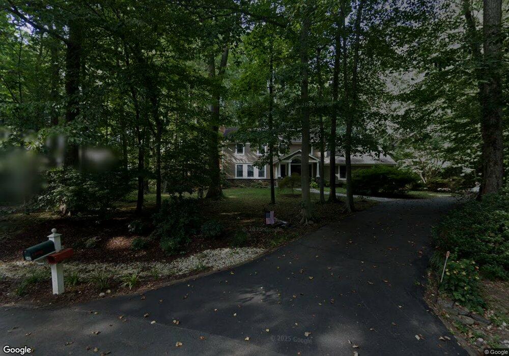
342 Martins Cove Rd Annapolis, MD 21409
Pendennis Mount NeighborhoodEstimated Value: $980,000 - $1,043,000
--
Bed
3
Baths
2,584
Sq Ft
$391/Sq Ft
Est. Value
About This Home
This home is located at 342 Martins Cove Rd, Annapolis, MD 21409 and is currently estimated at $1,009,541, approximately $390 per square foot. 342 Martins Cove Rd is a home located in Anne Arundel County with nearby schools including Arnold Elementary School, Severn River Middle School, and Broadneck High School.
Ownership History
Date
Name
Owned For
Owner Type
Purchase Details
Closed on
Dec 10, 1992
Sold by
Bridges Delmar D
Bought by
Conner Robert L and Conner Cynthia B
Current Estimated Value
Home Financials for this Owner
Home Financials are based on the most recent Mortgage that was taken out on this home.
Original Mortgage
$235,800
Interest Rate
8.34%
Purchase Details
Closed on
Dec 6, 1991
Sold by
Hill Ronald M
Bought by
Bridges Delmar D
Home Financials for this Owner
Home Financials are based on the most recent Mortgage that was taken out on this home.
Original Mortgage
$208,000
Interest Rate
8.62%
Purchase Details
Closed on
Sep 4, 1986
Sold by
Reliable Homes Corp
Bought by
Hill Ronald M
Home Financials for this Owner
Home Financials are based on the most recent Mortgage that was taken out on this home.
Original Mortgage
$135,000
Interest Rate
9.93%
Create a Home Valuation Report for This Property
The Home Valuation Report is an in-depth analysis detailing your home's value as well as a comparison with similar homes in the area
Home Values in the Area
Average Home Value in this Area
Purchase History
| Date | Buyer | Sale Price | Title Company |
|---|---|---|---|
| Conner Robert L | $262,000 | -- | |
| Bridges Delmar D | $260,000 | -- | |
| Hill Ronald M | $200,000 | -- |
Source: Public Records
Mortgage History
| Date | Status | Borrower | Loan Amount |
|---|---|---|---|
| Closed | Conner Robert L | $235,800 | |
| Previous Owner | Bridges Delmar D | $208,000 | |
| Previous Owner | Hill Ronald M | $135,000 |
Source: Public Records
Tax History Compared to Growth
Tax History
| Year | Tax Paid | Tax Assessment Tax Assessment Total Assessment is a certain percentage of the fair market value that is determined by local assessors to be the total taxable value of land and additions on the property. | Land | Improvement |
|---|---|---|---|---|
| 2025 | $8,706 | $766,833 | -- | -- |
| 2024 | $8,706 | $749,200 | $459,000 | $290,200 |
| 2023 | $7,869 | $677,267 | $0 | $0 |
| 2022 | $6,756 | $605,333 | $0 | $0 |
| 2021 | $12,009 | $533,400 | $256,000 | $277,400 |
| 2020 | $5,967 | $533,400 | $256,000 | $277,400 |
| 2019 | $5,972 | $533,400 | $256,000 | $277,400 |
| 2018 | $6,085 | $600,100 | $286,000 | $314,100 |
| 2017 | $6,286 | $579,333 | $0 | $0 |
| 2016 | -- | $558,567 | $0 | $0 |
| 2015 | -- | $537,800 | $0 | $0 |
| 2014 | -- | $536,367 | $0 | $0 |
Source: Public Records
Map
Nearby Homes
- 1634 Orchard Beach Rd
- 2203 Mulberry Hill Rd
- 214 Providence Rd
- 222 Lookout Ln
- 1864 Milvale Rd
- 1913 Dulaney Place
- 1677 Pleasant Plains Rd
- 5 Arlie Dr
- 1815 Millridge Ct
- 16 Brice Rd
- 1814 Pleasant Plains Rd
- 1814 & 1836 Pleasant Plains & Cherry Rd
- 1900 Carrollton Rd
- 1979 Baltimore Annapolis Blvd
- 15 E Nap Ln
- 1836 Cherry Rd
- 76 Old Mill Bottom Rd N Unit 312
- 76 Old Mill Bottom Rd N Unit 111
- 76 Old Mill Bottom Rd N Unit 308
- 78 Old Mill Bottom Rd N
- 344 Martins Cove Rd
- 340 Martins Cove Rd
- 345 Martins Cove Rd
- 341 Martins Cove Rd
- 339 Martins Cove Rd
- 338 Martins Cove Rd
- 346 Forest Beach Rd
- 356 Forest Beach Rd
- 352 Forest Beach Rd
- 348 Forest Beach Rd
- 344 Forest Beach Rd
- 362 Forest Beach Rd
- 358 Forest Beach Rd
- 337 Martins Cove Rd
- 340 Forest Beach Rd
- 364 Forest Beach Rd
- 355 Forest Beach Rd
- 337 Forest Beach Rd
- 343 Martins Cove Rd
- 338 Forest Beach Rd