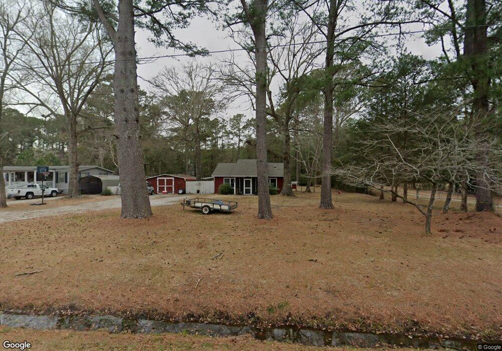
342 Mccabe Rd Newport, NC 28570
Estimated Value: $238,000 - $332,000
3
Beds
1
Bath
952
Sq Ft
$294/Sq Ft
Est. Value
About This Home
This home is located at 342 Mccabe Rd, Newport, NC 28570 and is currently estimated at $279,595, approximately $293 per square foot. 342 Mccabe Rd is a home located in Carteret County with nearby schools including Morehead City Primary School, Morehead Elementary School at Camp Glenn, and Morehead City Middle School.
Ownership History
Date
Name
Owned For
Owner Type
Purchase Details
Closed on
May 31, 2018
Sold by
Jones Casey Donahue and Jones Kimberly S
Bought by
Spitz Michael Jacob and Spitz Andrea Ward
Current Estimated Value
Home Financials for this Owner
Home Financials are based on the most recent Mortgage that was taken out on this home.
Original Mortgage
$105,050
Outstanding Balance
$90,645
Interest Rate
4.4%
Mortgage Type
New Conventional
Estimated Equity
$188,950
Purchase Details
Closed on
Jul 17, 2002
Create a Home Valuation Report for This Property
The Home Valuation Report is an in-depth analysis detailing your home's value as well as a comparison with similar homes in the area
Home Values in the Area
Average Home Value in this Area
Purchase History
| Date | Buyer | Sale Price | Title Company |
|---|---|---|---|
| Spitz Michael Jacob | $104,000 | None Available | |
| -- | $52,000 | -- |
Source: Public Records
Mortgage History
| Date | Status | Borrower | Loan Amount |
|---|---|---|---|
| Open | Spitz Michael Jacob | $105,050 |
Source: Public Records
Tax History Compared to Growth
Tax History
| Year | Tax Paid | Tax Assessment Tax Assessment Total Assessment is a certain percentage of the fair market value that is determined by local assessors to be the total taxable value of land and additions on the property. | Land | Improvement |
|---|---|---|---|---|
| 2025 | $814 | $234,770 | $83,755 | $151,015 |
| 2024 | $556 | $101,111 | $32,509 | $68,602 |
| 2023 | $630 | $101,111 | $32,509 | $68,602 |
| 2022 | $619 | $101,111 | $32,509 | $68,602 |
| 2021 | $599 | $101,111 | $32,509 | $68,602 |
| 2020 | $582 | $101,111 | $32,509 | $68,602 |
| 2019 | $560 | $100,672 | $26,343 | $74,329 |
| 2017 | $523 | $90,783 | $26,343 | $64,440 |
| 2016 | $523 | $90,783 | $26,343 | $64,440 |
| 2015 | $514 | $90,783 | $26,343 | $64,440 |
| 2014 | $373 | $97,478 | $36,210 | $61,268 |
Source: Public Records
Map
Nearby Homes
- 311 Lord Granville Dr
- 215 Oak Dr
- 113 Fairway Dr W
- 404 Hillcrest Dr
- 212 Lord Granville Dr
- 806 Lord Granville Dr
- 105 Sandpiper Dr
- 209 Sound Ct
- 156 Beaufort Ct Unit 6
- 514 Village Green Dr
- 476 Highway 24 - A
- 6650 Highway 70 W
- 122 Oriental Ct
- 154 Canton St
- 5320 Highway 70 W
- 137 Zacchaeus Ave
- 124 Zacchaeus Ave
- 209 Coventry Rd
- 207 Coventry Rd
- 812 E Chatham St
- 362 Mccabe Rd
- 324 Mccabe Rd
- 370 Mccabe Rd
- 357 Mccabe Rd
- 341 Mccabe Rd
- 5 Mccabe Rd
- 374 Mccabe Rd
- 380 Mccabe Rd
- 308 Mccabe Rd
- 207 Westchester Dr
- 386 Mccabe Rd
- 205 Westchester Dr
- 209 Westchester Dr
- 203 Westchester Dr
- 396 Mccabe Rd
- 211 Westchester Dr
- 296 Mccabe Rd
- 402 Mccabe Rd
- 204 Westchester Dr
- 201 Westchester Dr