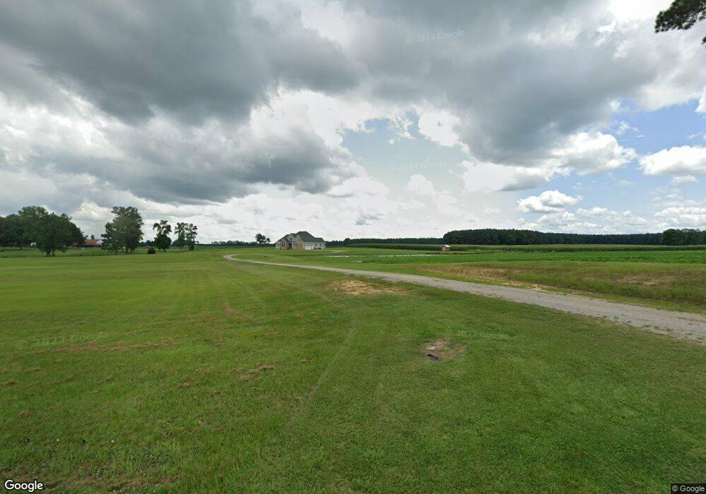
342 Nc Highway 42 Colerain, NC 27924
Estimated Value: $228,000 - $493,000
3
Beds
6
Baths
4,220
Sq Ft
$87/Sq Ft
Est. Value
About This Home
This home is located at 342 Nc Highway 42, Colerain, NC 27924 and is currently estimated at $369,242, approximately $87 per square foot. 342 Nc Highway 42 is a home with nearby schools including Colerain Elementary School, Bertie Middle School, and Bertie High.
Ownership History
Date
Name
Owned For
Owner Type
Purchase Details
Closed on
Jun 16, 2008
Sold by
Earl M Powell & Sons Inc
Bought by
Brown Penny Lynn
Current Estimated Value
Home Financials for this Owner
Home Financials are based on the most recent Mortgage that was taken out on this home.
Original Mortgage
$320,000
Outstanding Balance
$205,238
Interest Rate
6.04%
Mortgage Type
Construction
Estimated Equity
$164,004
Create a Home Valuation Report for This Property
The Home Valuation Report is an in-depth analysis detailing your home's value as well as a comparison with similar homes in the area
Home Values in the Area
Average Home Value in this Area
Purchase History
| Date | Buyer | Sale Price | Title Company |
|---|---|---|---|
| Brown Penny Lynn | -- | -- |
Source: Public Records
Mortgage History
| Date | Status | Borrower | Loan Amount |
|---|---|---|---|
| Open | Brown Penny Lynn | $320,000 |
Source: Public Records
Tax History Compared to Growth
Tax History
| Year | Tax Paid | Tax Assessment Tax Assessment Total Assessment is a certain percentage of the fair market value that is determined by local assessors to be the total taxable value of land and additions on the property. | Land | Improvement |
|---|---|---|---|---|
| 2024 | $2,593 | $267,980 | $17,516 | $250,464 |
| 2023 | $2,318 | $267,980 | $17,516 | $250,464 |
| 2022 | $2,318 | $267,980 | $17,516 | $250,464 |
| 2021 | $2,318 | $267,980 | $17,516 | $250,464 |
| 2020 | $2,318 | $267,980 | $17,516 | $250,464 |
| 2019 | $2,201 | $254,433 | $14,515 | $239,918 |
| 2018 | $2,112 | $254,433 | $14,515 | $239,918 |
| 2017 | $2,112 | $254,433 | $14,515 | $239,918 |
| 2016 | $2,112 | $254,433 | $14,515 | $239,918 |
| 2015 | $1,596 | $254,433 | $14,515 | $239,918 |
| 2014 | $1,596 | $254,433 | $14,515 | $239,918 |
| 2013 | $1,596 | $254,433 | $14,515 | $239,918 |
Source: Public Records
Map
Nearby Homes
- 0 Luther Brown Rd
- 108 Fairfax Ln
- 1112 N Carolina 42
- 214 Nc Highway 561 E
- 342 Lee Jernigan Rd
- 317 Newsome Grove Rd
- 2205 U S 13
- 400 Catherine Creek Rd S
- 0 Parker St
- 622 Memorial Dr E
- 713 Mount Moriah Rd
- 809 1st St E
- 224 Hill St
- 511 1st St E
- 111 Dr Martin Luther King jr Dr S
- 415 E Church St Unit C
- 0 Ahoskie Cofield
- 108 Church St W
- 216 Troy St E
- 0 South W Unit 100526085
- 420 Nc Highway 42
- 408 Nc Highway 42
- 412 Nc Highway 42
- 407 Nc Highway 42
- 411 Nc Highway 42
- 429 Nc Highway 42
- 301 Nc Highway 42
- 253 Nc Highway 42
- 412 Rock Pile Rd
- 445 Nc Highway 42
- 251 Nc Highway 42
- 210 Rock Pile Rd
- 241 Nc Highway 42
- 224 Brown Rd
- 235 Nc Highway 42
- 525 Nc Highway 42
- 237 Nc Highway 42
- 218 Brown Rd
- 227 N Carolina 42
- 227 Nc Highway 42