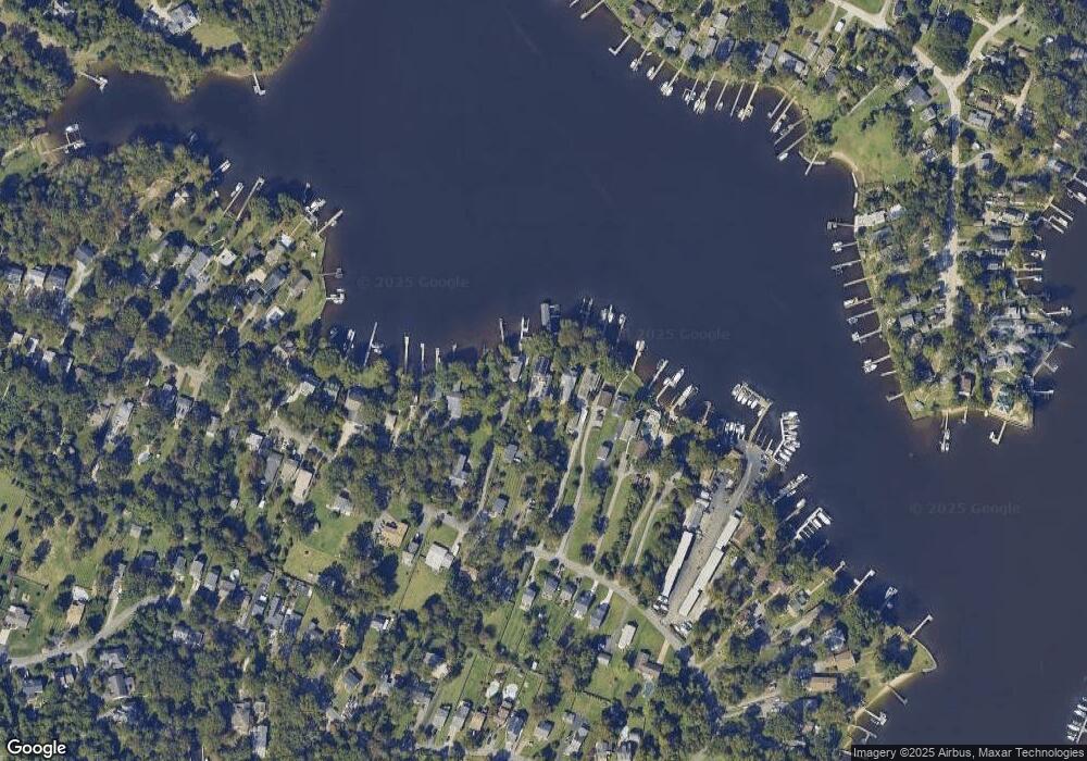
342 North Dr Severna Park, MD 21146
Estimated Value: $1,289,000 - $1,949,000
--
Bed
3
Baths
3,497
Sq Ft
$459/Sq Ft
Est. Value
About This Home
This home is located at 342 North Dr, Severna Park, MD 21146 and is currently estimated at $1,604,436, approximately $458 per square foot. 342 North Dr is a home located in Anne Arundel County with nearby schools including Folger McKinsey Elementary at Chesapeake Bay Middle School, Severna Park Middle School, and Severna Park High School.
Ownership History
Date
Name
Owned For
Owner Type
Purchase Details
Closed on
Aug 31, 2012
Sold by
Beaver Robert J and Beaver Susan G
Bought by
Mills Ii John Robertson and Mills Ellen Marie
Current Estimated Value
Purchase Details
Closed on
Apr 12, 1994
Sold by
Johnson
Bought by
Mills Ii John R
Home Financials for this Owner
Home Financials are based on the most recent Mortgage that was taken out on this home.
Original Mortgage
$198,750
Interest Rate
7.27%
Create a Home Valuation Report for This Property
The Home Valuation Report is an in-depth analysis detailing your home's value as well as a comparison with similar homes in the area
Home Values in the Area
Average Home Value in this Area
Purchase History
| Date | Buyer | Sale Price | Title Company |
|---|---|---|---|
| Mills Ii John Robertson | $330,000 | First American Title Ins Co | |
| Mills Ii John R | $264,000 | -- |
Source: Public Records
Mortgage History
| Date | Status | Borrower | Loan Amount |
|---|---|---|---|
| Previous Owner | Mills Ii John R | $198,750 |
Source: Public Records
Tax History Compared to Growth
Tax History
| Year | Tax Paid | Tax Assessment Tax Assessment Total Assessment is a certain percentage of the fair market value that is determined by local assessors to be the total taxable value of land and additions on the property. | Land | Improvement |
|---|---|---|---|---|
| 2025 | $10,103 | $1,388,900 | -- | -- |
| 2024 | $10,103 | $1,266,200 | $655,400 | $610,800 |
| 2023 | $9,812 | $1,222,400 | $0 | $0 |
| 2022 | $12,316 | $1,178,600 | $0 | $0 |
| 2021 | $17,994 | $1,134,800 | $625,400 | $509,400 |
| 2020 | $8,795 | $1,113,133 | $0 | $0 |
| 2019 | $159 | $1,091,467 | $0 | $0 |
| 2018 | $10,848 | $1,069,800 | $568,400 | $501,400 |
| 2017 | $3,255 | $1,045,233 | $0 | $0 |
| 2016 | $159 | $1,020,667 | $0 | $0 |
| 2015 | $159 | $996,100 | $0 | $0 |
| 2014 | -- | $996,100 | $0 | $0 |
Source: Public Records
Map
Nearby Homes
- 303 North Dr
- 342 Beach Ave
- 333 Magothy Beach Rd
- 325 Beach Ave
- 492 Center St
- 308 Cockey Dr
- 575 6th St
- 485 White Cedar Ln
- 233 Beachwood Rd
- 471 Maple Rd
- 359 Valley Stream Rd
- 210 Oak Dr
- 453 Community Rd
- 333 Sturtons Ln
- 301 Sturtons Ln
- 207 Oak Ave
- 208 Magothy Beach Rd
- 619 Riverside Dr
- 327 Steedman Point Rd
- 201 Oak Ave
