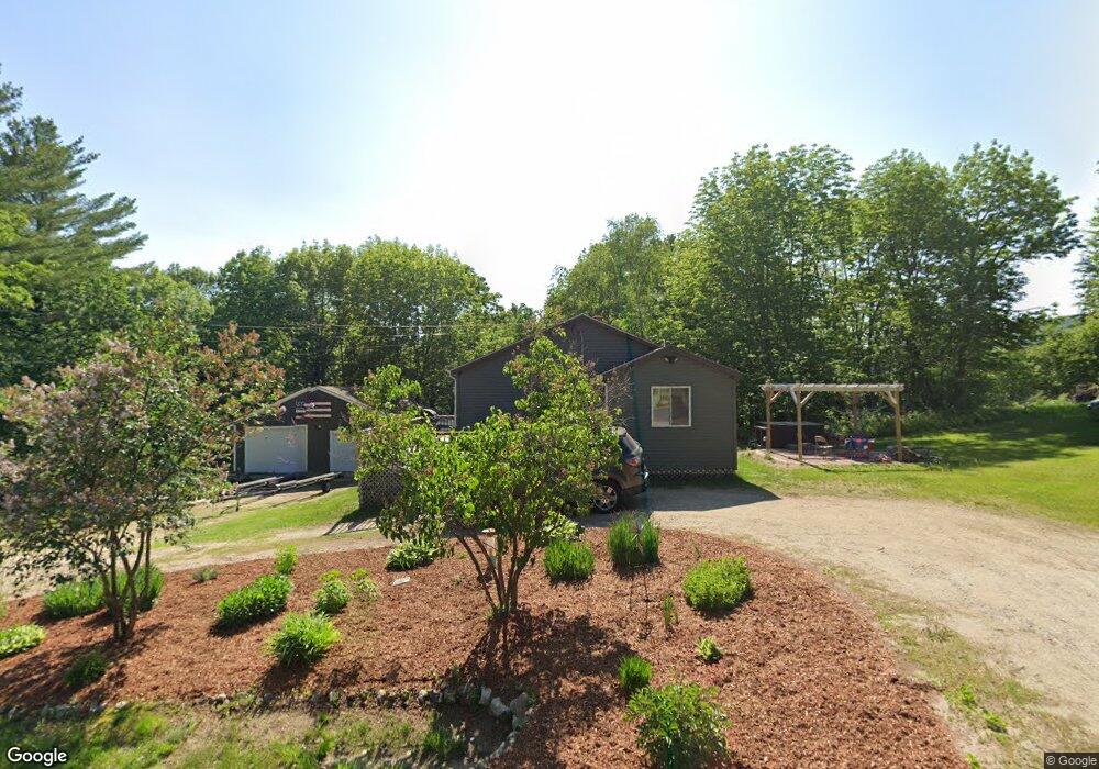
342 Sanders Rd Livermore, ME 04253
Estimated Value: $273,648 - $325,000
3
Beds
2
Baths
1,120
Sq Ft
$269/Sq Ft
Est. Value
About This Home
This home is located at 342 Sanders Rd, Livermore, ME 04253 and is currently estimated at $301,412, approximately $269 per square foot. 342 Sanders Rd is a home located in Androscoggin County with nearby schools including Spruce Mountain Primary School, Spruce Mountain Elementary School, and Spruce Mountain Middle School.
Ownership History
Date
Name
Owned For
Owner Type
Purchase Details
Closed on
Dec 30, 2020
Sold by
Gauvin Shannon E
Bought by
Gauvin Shannon E and Gauvin Scott A
Current Estimated Value
Home Financials for this Owner
Home Financials are based on the most recent Mortgage that was taken out on this home.
Original Mortgage
$151,000
Outstanding Balance
$134,125
Interest Rate
2.7%
Mortgage Type
Purchase Money Mortgage
Estimated Equity
$167,287
Purchase Details
Closed on
Jul 31, 2018
Sold by
Packard Stephen C and Gauvin Shannon
Bought by
Gauvin Shannon
Home Financials for this Owner
Home Financials are based on the most recent Mortgage that was taken out on this home.
Original Mortgage
$152,192
Interest Rate
4.75%
Mortgage Type
FHA
Create a Home Valuation Report for This Property
The Home Valuation Report is an in-depth analysis detailing your home's value as well as a comparison with similar homes in the area
Home Values in the Area
Average Home Value in this Area
Purchase History
| Date | Buyer | Sale Price | Title Company |
|---|---|---|---|
| Gauvin Shannon E | -- | None Available | |
| Gauvin Shannon E | -- | None Available | |
| Gauvin Shannon | -- | -- | |
| Gauvin Shannon | -- | -- |
Source: Public Records
Mortgage History
| Date | Status | Borrower | Loan Amount |
|---|---|---|---|
| Open | Gauvin Shannon E | $151,000 | |
| Closed | Gauvin Shannon E | $151,000 | |
| Previous Owner | Gauvin Shannon | $152,192 |
Source: Public Records
Tax History Compared to Growth
Tax History
| Year | Tax Paid | Tax Assessment Tax Assessment Total Assessment is a certain percentage of the fair market value that is determined by local assessors to be the total taxable value of land and additions on the property. | Land | Improvement |
|---|---|---|---|---|
| 2025 | $2,788 | $147,497 | $32,750 | $114,747 |
| 2024 | $2,522 | $147,497 | $32,750 | $114,747 |
| 2023 | $2,397 | $147,497 | $32,750 | $114,747 |
| 2022 | $2,360 | $147,497 | $32,750 | $114,747 |
| 2021 | $2,360 | $147,497 | $32,750 | $114,747 |
| 2020 | $2,249 | $147,497 | $32,750 | $114,747 |
| 2019 | $1,919 | $118,097 | $28,750 | $89,347 |
| 2018 | $1,890 | $118,097 | $28,750 | $89,347 |
| 2017 | $1,937 | $118,097 | $28,750 | $89,347 |
| 2016 | $1,890 | $118,097 | $28,750 | $89,347 |
| 2015 | $1,890 | $118,097 | $28,750 | $89,347 |
| 2014 | $1,677 | $118,097 | $28,750 | $89,347 |
Source: Public Records
Map
Nearby Homes
- 62 Norton Rd
- 1081 Federal Rd
- 21 Stonewall Dr
- 51 Church St
- 137 Canton Rd
- 726 Jewett Hill Rd
- 113 Turkey Ln
- 1671 Federal Rd
- 642 Federal Rd
- Lot 9B Pulsifer Rd
- 9 Pulsifer Rd
- 614 Federal Rd
- 1785 Federal Rd
- 0 Gibbs Mill Rd
- 881 River Rd
- Lot 45-8 Wyatt's Way
- 20 Dyke Dr
- 309 Strickland Ferry Rd
- 47 Turner St
- 1 Lake View Dr