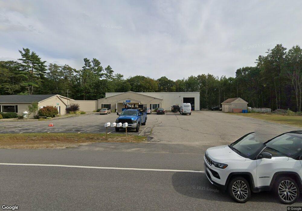
342 Sanford Rd Alfred, ME 04002
Estimated Value: $1,397,000
4
Beds
2
Baths
1,200
Sq Ft
$1,164/Sq Ft
Est. Value
About This Home
This home is located at 342 Sanford Rd, Alfred, ME 04002 and is currently priced at $1,397,000, approximately $1,164 per square foot. 342 Sanford Rd is a home with nearby schools including Massabesic High School, St Thomas Consolidated School, and Sanford Christian Academy.
Ownership History
Date
Name
Owned For
Owner Type
Purchase Details
Closed on
Feb 25, 2016
Sold by
Desrochers Robert and Desrochers Nancy A
Bought by
Desrochers Robert and Desrochers Nancy A
Current Estimated Value
Create a Home Valuation Report for This Property
The Home Valuation Report is an in-depth analysis detailing your home's value as well as a comparison with similar homes in the area
Home Values in the Area
Average Home Value in this Area
Purchase History
| Date | Buyer | Sale Price | Title Company |
|---|---|---|---|
| Desrochers Robert | -- | -- | |
| Desrochers Robert | -- | -- |
Source: Public Records
Mortgage History
| Date | Status | Borrower | Loan Amount |
|---|---|---|---|
| Closed | Desrochers Robert | $50,000 |
Source: Public Records
Tax History Compared to Growth
Tax History
| Year | Tax Paid | Tax Assessment Tax Assessment Total Assessment is a certain percentage of the fair market value that is determined by local assessors to be the total taxable value of land and additions on the property. | Land | Improvement |
|---|---|---|---|---|
| 2025 | $12,840 | $1,330,565 | $284,750 | $1,045,815 |
| 2024 | $12,574 | $1,330,565 | $284,750 | $1,045,815 |
| 2023 | $10,947 | $582,280 | $245,000 | $337,280 |
| 2022 | $10,481 | $582,280 | $245,000 | $337,280 |
| 2021 | $10,020 | $580,880 | $245,000 | $335,880 |
| 2020 | $10,324 | $629,500 | $245,000 | $384,500 |
| 2019 | $10,324 | $629,500 | $245,000 | $384,500 |
| 2018 | $3,164 | $629,500 | $245,000 | $384,500 |
| 2017 | $10,009 | $629,500 | $245,000 | $384,500 |
| 2016 | $9,537 | $629,500 | $245,000 | $384,500 |
| 2015 | $9,128 | $629,500 | $245,000 | $384,500 |
| 2014 | $8,970 | $629,500 | $245,000 | $384,500 |
| 2013 | $8,656 | $629,500 | $245,000 | $384,500 |
Source: Public Records
Map
Nearby Homes
- 0 Sanford Rd
- 39 Flayhan Dr
- Lot 35 Bennett Rd
- 8 Hummingbird Ln
- 58 Sanford Rd
- Lot 650 Gebung Rd
- 59 Tanguay St
- 21 Signal St Unit I-3
- 12 Home St
- 49 North Ave
- 6 Signal St Unit 6
- 19 Signal St Unit I-2
- 17 Signal St Unit I-1
- 30 North Ave
- 22 North Ave
- 2 Oak Forest St
- 24 Tanguay St
- 99 Pleasant St
- 7 Bates St
- 13 Island Ave