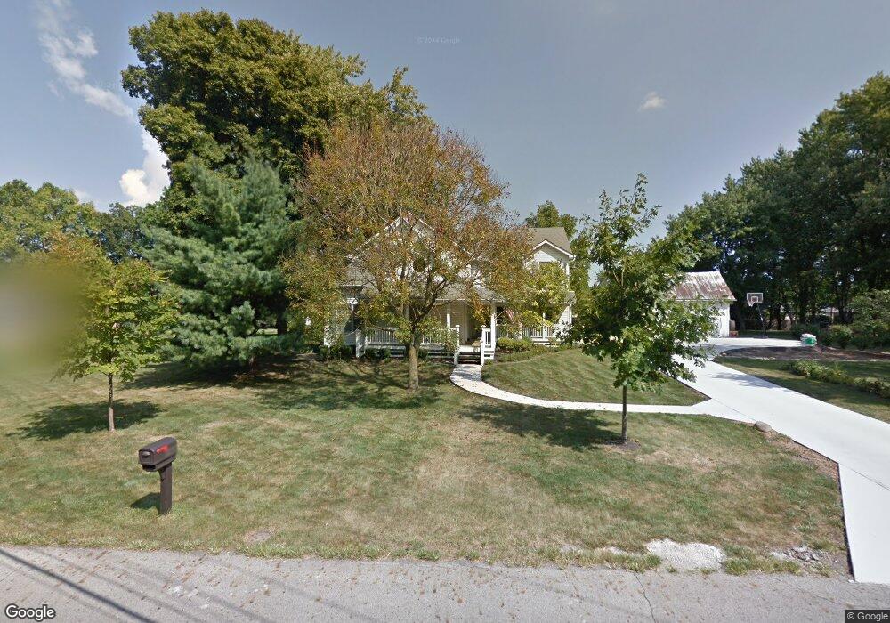
342 Schrock Rd Worthington, OH 43085
Estimated Value: $655,000 - $782,271
4
Beds
4
Baths
3,200
Sq Ft
$232/Sq Ft
Est. Value
About This Home
This home is located at 342 Schrock Rd, Worthington, OH 43085 and is currently estimated at $743,568, approximately $232 per square foot. 342 Schrock Rd is a home located in Franklin County with nearby schools including Wilson Hill Elementary School, Kilbourne Middle School, and Thomas Worthington High School.
Ownership History
Date
Name
Owned For
Owner Type
Purchase Details
Closed on
Mar 5, 2024
Sold by
Dawson Patrick W and Dawson Monica A
Bought by
Monica A Dawson Living Trust and Dawson
Current Estimated Value
Purchase Details
Closed on
Jun 7, 2004
Sold by
Patton Jonathan C and Laubensheimer Patty J
Bought by
Dawson Patrick W and Dawson Monica A
Home Financials for this Owner
Home Financials are based on the most recent Mortgage that was taken out on this home.
Original Mortgage
$293,400
Interest Rate
6.17%
Mortgage Type
Purchase Money Mortgage
Purchase Details
Closed on
Jul 28, 1994
Sold by
West William E
Bought by
Jonathan C Patton and Laubens R Patty J
Home Financials for this Owner
Home Financials are based on the most recent Mortgage that was taken out on this home.
Original Mortgage
$78,250
Interest Rate
5.5%
Mortgage Type
New Conventional
Create a Home Valuation Report for This Property
The Home Valuation Report is an in-depth analysis detailing your home's value as well as a comparison with similar homes in the area
Home Values in the Area
Average Home Value in this Area
Purchase History
| Date | Buyer | Sale Price | Title Company |
|---|---|---|---|
| Monica A Dawson Living Trust | -- | None Listed On Document | |
| Dawson Patrick W | $326,000 | Lawyers Title | |
| Jonathan C Patton | $82,400 | -- |
Source: Public Records
Mortgage History
| Date | Status | Borrower | Loan Amount |
|---|---|---|---|
| Previous Owner | Dawson Patrick W | $293,400 | |
| Previous Owner | Jonathan C Patton | $78,250 |
Source: Public Records
Tax History Compared to Growth
Tax History
| Year | Tax Paid | Tax Assessment Tax Assessment Total Assessment is a certain percentage of the fair market value that is determined by local assessors to be the total taxable value of land and additions on the property. | Land | Improvement |
|---|---|---|---|---|
| 2024 | $14,394 | $226,730 | $90,580 | $136,150 |
| 2023 | $13,785 | $226,730 | $90,580 | $136,150 |
| 2022 | $14,186 | $186,450 | $72,450 | $114,000 |
| 2021 | $13,118 | $186,450 | $72,450 | $114,000 |
| 2020 | $12,650 | $186,450 | $72,450 | $114,000 |
| 2019 | $11,988 | $159,920 | $72,450 | $87,470 |
| 2018 | $9,925 | $159,920 | $72,450 | $87,470 |
| 2017 | $9,604 | $159,920 | $72,450 | $87,470 |
| 2016 | $8,430 | $115,300 | $23,700 | $91,600 |
| 2015 | $8,227 | $112,500 | $23,700 | $88,800 |
| 2014 | $8,224 | $112,500 | $23,700 | $88,800 |
| 2013 | $3,897 | $107,135 | $22,575 | $84,560 |
Source: Public Records
Map
Nearby Homes
- 6750 Worthington Galena Rd
- 6730 Kensington Way
- 251 Northigh Dr
- 127 Heischman Ave
- 0 Proprietors Rd Unit 225002452
- 463 E North St Unit D-5
- 930 Proprietors Rd
- 66 Glen Dr
- 188 E Clearview Ave
- 120 Caren Ave
- 6813 Hayhurst St
- 675 Plymouth St
- 264 E South St
- 6165 Northgap Dr
- 519 Pincherry Ln
- 1288 Oakfield Dr N
- 940 Larkfield Dr
- 6211 Ambleside Dr
- 906 Linkfield Dr
- 795 Plant Dr Unit 8C
- 356 Schrock Rd
- 365 Eastworth Ct
- 357 Eastworth Ct
- 373 Eastworth Ct
- 349 Eastworth Ct
- 386 Schrock Rd
- 352 Schrock Rd
- 381 Eastworth Ct
- 341 Eastworth Ct
- 337 Schrock Rd
- 337 Schrock Rd
- 389 Eastworth Ct
- 339 Eastworth Way
- 0 Schrock Rd
- 364 Eastworth Ct
- 372 Eastworth Ct
- 356 Eastworth Ct
- 348 Eastworth Ct
- 380 Eastworth Ct
- 6772 Highland Place