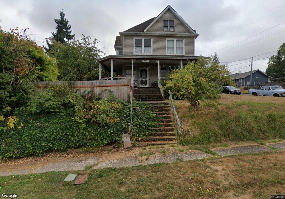
342 SW Harrison St Unit 1 Sheridan, OR 97378
Estimated Value: $386,000 - $445,120
5
Beds
6
Baths
2,844
Sq Ft
$149/Sq Ft
Est. Value
About This Home
This home is located at 342 SW Harrison St Unit 1, Sheridan, OR 97378 and is currently estimated at $423,530, approximately $148 per square foot. 342 SW Harrison St Unit 1 is a home located in Yamhill County with nearby schools including Faulconer-Chapman School, Sheridan High School, and Sheridan Japanese School.
Ownership History
Date
Name
Owned For
Owner Type
Purchase Details
Closed on
Jul 26, 2017
Sold by
Knapp Kenneth B and Knapp Shirley M
Bought by
Knapp Kenneth B and Knapp Shirley M
Current Estimated Value
Home Financials for this Owner
Home Financials are based on the most recent Mortgage that was taken out on this home.
Original Mortgage
$152,000
Interest Rate
3.88%
Mortgage Type
New Conventional
Purchase Details
Closed on
Sep 30, 2014
Sold by
Knapp Shirley and Knapp Kenneth
Bought by
Knapp Kenneth B and Knapp Shirley M
Create a Home Valuation Report for This Property
The Home Valuation Report is an in-depth analysis detailing your home's value as well as a comparison with similar homes in the area
Home Values in the Area
Average Home Value in this Area
Purchase History
| Date | Buyer | Sale Price | Title Company |
|---|---|---|---|
| Knapp Kenneth B | -- | Surety Lender Services Llc | |
| Knapp Kenneth B | -- | None Available |
Source: Public Records
Mortgage History
| Date | Status | Borrower | Loan Amount |
|---|---|---|---|
| Closed | Knapp Kenneth B | $152,000 |
Source: Public Records
Tax History Compared to Growth
Tax History
| Year | Tax Paid | Tax Assessment Tax Assessment Total Assessment is a certain percentage of the fair market value that is determined by local assessors to be the total taxable value of land and additions on the property. | Land | Improvement |
|---|---|---|---|---|
| 2024 | $2,561 | $199,763 | -- | -- |
| 2023 | $2,487 | $193,945 | $0 | $0 |
| 2022 | $2,418 | $188,296 | $0 | $0 |
| 2021 | $2,737 | $182,812 | $0 | $0 |
| 2020 | $2,645 | $177,487 | $0 | $0 |
| 2019 | $2,598 | $172,317 | $0 | $0 |
| 2018 | $2,525 | $167,298 | $0 | $0 |
| 2017 | $2,478 | $162,425 | $0 | $0 |
| 2016 | $2,406 | $157,694 | $0 | $0 |
| 2015 | $2,347 | $153,102 | $0 | $0 |
| 2014 | $2,283 | $148,644 | $0 | $0 |
Source: Public Records
Map
Nearby Homes
- 309 SW Monroe St
- 518 S Bridge St
- 617 SW Monroe St
- 370 NW Yamhill St
- 243 SE Harney St
- 740 SE Alicia St
- 328 NW Sherman St
- 735 SW Mill St
- 0 NW Viola St
- 119 NW Sherman St
- 419 SE Sheridan Rd
- 220 NE Hill St
- 503 SE Sheridan Rd Unit 8
- 240 NW Sagan Loop
- 245 NE Hill St
- 0 Highway 18 (Ta 635db00400)
- 221 NW Blair St Unit 27
- 221 NW Blair St
- 634 E Main St
- 347 NE Oak St
- 342 SW Harrison St
- 340 SW Harrison St
- 345 SW Madison St
- 341 SW Madison St
- 338 SW Harrison St
- 408 SW Harrison St
- 343 SW Harrison St
- 329 SW Madison St
- 405 SW Madison St
- 329 SW Harrison St
- 410 SW Mill St
- 318 SW Harrison St
- 418 SW Harrison St
- 319 SW Madison St
- 317 SW Harrison St
- 404 SW Mill St
- 409 SW Madison St
- 348 W Railroad
- 344 SW Madison St
- 346 SW Madison St