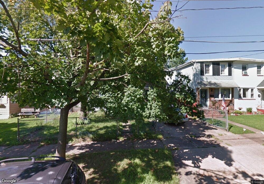
342 Taft St Bristol, PA 19007
Estimated Value: $255,000 - $297,489
2
Beds
1
Bath
964
Sq Ft
$285/Sq Ft
Est. Value
About This Home
This home is located at 342 Taft St, Bristol, PA 19007 and is currently estimated at $274,622, approximately $284 per square foot. 342 Taft St is a home located in Bucks County with nearby schools including Snyder-Girotti Elementary School, Bristol High School, and First Presbyterian Church School.
Ownership History
Date
Name
Owned For
Owner Type
Purchase Details
Closed on
Jul 25, 2022
Sold by
Roy Winter Marcus and Roy Tiffany R
Bought by
Winter Marcus Roy and Winter Tiffany R
Current Estimated Value
Home Financials for this Owner
Home Financials are based on the most recent Mortgage that was taken out on this home.
Original Mortgage
$164,000
Outstanding Balance
$156,956
Interest Rate
5.81%
Mortgage Type
New Conventional
Estimated Equity
$117,666
Purchase Details
Closed on
Jul 27, 2009
Sold by
Choinski William F
Bought by
Winter Marcus Roy and Cogar Tiffany Renee
Home Financials for this Owner
Home Financials are based on the most recent Mortgage that was taken out on this home.
Original Mortgage
$152,192
Interest Rate
5.47%
Mortgage Type
FHA
Purchase Details
Closed on
Apr 17, 1956
Bought by
Choinski Margaret A
Create a Home Valuation Report for This Property
The Home Valuation Report is an in-depth analysis detailing your home's value as well as a comparison with similar homes in the area
Home Values in the Area
Average Home Value in this Area
Purchase History
| Date | Buyer | Sale Price | Title Company |
|---|---|---|---|
| Winter Marcus Roy | -- | Richardson Ira A | |
| Winter Marcus Roy | $155,000 | None Available | |
| Choinski Margaret A | -- | -- |
Source: Public Records
Mortgage History
| Date | Status | Borrower | Loan Amount |
|---|---|---|---|
| Open | Winter Marcus Roy | $164,000 | |
| Previous Owner | Winter Marcus Roy | $152,192 |
Source: Public Records
Tax History Compared to Growth
Tax History
| Year | Tax Paid | Tax Assessment Tax Assessment Total Assessment is a certain percentage of the fair market value that is determined by local assessors to be the total taxable value of land and additions on the property. | Land | Improvement |
|---|---|---|---|---|
| 2025 | $3,353 | $14,400 | $4,400 | $10,000 |
| 2024 | $3,353 | $14,400 | $4,400 | $10,000 |
| 2023 | $3,324 | $14,400 | $4,400 | $10,000 |
| 2022 | $3,324 | $14,400 | $4,400 | $10,000 |
| 2021 | $3,324 | $14,400 | $4,400 | $10,000 |
| 2020 | $3,418 | $14,400 | $4,400 | $10,000 |
| 2019 | $3,403 | $14,400 | $4,400 | $10,000 |
| 2018 | $3,403 | $14,400 | $4,400 | $10,000 |
| 2017 | $3,385 | $14,400 | $4,400 | $10,000 |
| 2016 | $3,385 | $14,400 | $4,400 | $10,000 |
| 2015 | -- | $14,400 | $4,400 | $10,000 |
| 2014 | -- | $14,400 | $4,400 | $10,000 |
Source: Public Records
Map
Nearby Homes
- 321 Taft St
- 314 Railroad Ave
- 61 Green Ln
- 221 Cleveland St
- 6419 Radcliffe St
- 2296 Seabird Dr Unit 1
- 2285 Seabird Dr Unit 14
- 5605 Toga St
- 1211 Seabird Dr Unit 40
- 5 Green Ln
- 243 Monroe St
- 16434 River View Cir
- 16442 River View Cir
- 16422 River View Cir
- 16352 River View Cir
- 1201 Pacific Ave
- 16453 River View Cir
- 16221 River View Cir
- 16231 River View Cir
- 16333 River View Cir