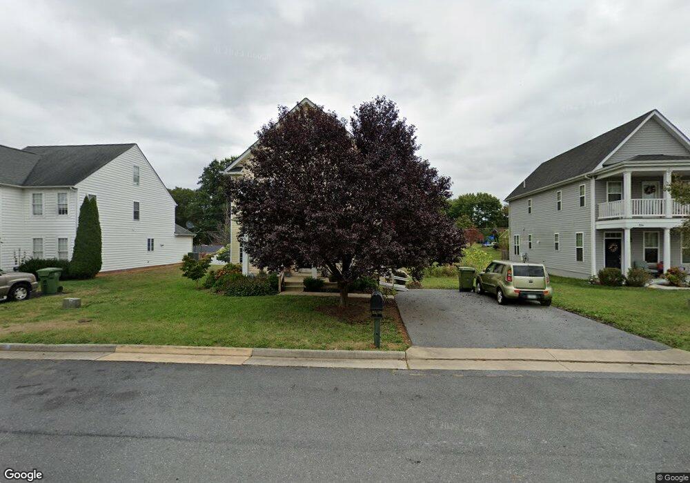
342 Taylor St Waynesboro, VA 22980
Estimated Value: $365,000 - $388,671
3
Beds
3
Baths
2,151
Sq Ft
$177/Sq Ft
Est. Value
About This Home
This home is located at 342 Taylor St, Waynesboro, VA 22980 and is currently estimated at $379,918, approximately $176 per square foot. 342 Taylor St is a home located in Waynesboro City with nearby schools including Westwood Hills Elementary School, Kate Collins Middle School, and Waynesboro High School.
Ownership History
Date
Name
Owned For
Owner Type
Purchase Details
Closed on
Jun 7, 2011
Sold by
Shr9 Llc
Bought by
Kupiec John E
Current Estimated Value
Home Financials for this Owner
Home Financials are based on the most recent Mortgage that was taken out on this home.
Original Mortgage
$200,535
Outstanding Balance
$139,021
Interest Rate
4.75%
Mortgage Type
FHA
Estimated Equity
$240,897
Purchase Details
Closed on
May 3, 2010
Sold by
Hauser Homes Llc
Bought by
Shr9 Llc
Create a Home Valuation Report for This Property
The Home Valuation Report is an in-depth analysis detailing your home's value as well as a comparison with similar homes in the area
Home Values in the Area
Average Home Value in this Area
Purchase History
| Date | Buyer | Sale Price | Title Company |
|---|---|---|---|
| Kupiec John E | $209,000 | -- | |
| Shr9 Llc | $40,000 | -- |
Source: Public Records
Mortgage History
| Date | Status | Borrower | Loan Amount |
|---|---|---|---|
| Open | Shr9 Llc | $200,535 |
Source: Public Records
Tax History Compared to Growth
Tax History
| Year | Tax Paid | Tax Assessment Tax Assessment Total Assessment is a certain percentage of the fair market value that is determined by local assessors to be the total taxable value of land and additions on the property. | Land | Improvement |
|---|---|---|---|---|
| 2025 | $2,793 | $340,600 | $65,000 | $275,600 |
| 2024 | $2,368 | $307,500 | $55,000 | $252,500 |
| 2023 | $2,368 | $307,500 | $55,000 | $252,500 |
| 2022 | $2,235 | $248,300 | $45,000 | $203,300 |
| 2021 | $2,235 | $248,300 | $45,000 | $203,300 |
| 2020 | $2,050 | $227,800 | $45,000 | $182,800 |
| 2019 | $2,050 | $227,800 | $45,000 | $182,800 |
| 2018 | $1,803 | $200,300 | $42,000 | $158,300 |
| 2017 | $1,743 | $200,300 | $42,000 | $158,300 |
| 2016 | $1,572 | $196,500 | $42,000 | $154,500 |
| 2015 | $1,572 | $196,500 | $42,000 | $154,500 |
| 2014 | -- | $193,400 | $42,000 | $151,400 |
| 2013 | -- | $0 | $0 | $0 |
Source: Public Records
Map
Nearby Homes
- 1073 Pendleton Dr
- 656 Edwardian Ln
- 2404 Village Dr
- 2224 Mount Vernon St
- 2228 Mount Vernon St
- 237 Stonewall Dr
- 112 Kings Ct
- 2418 Mount Vernon St
- 316 Lee Dr
- 505 Pelham Dr
- 200 Bedford Rd
- 340 Kingsport Rd
- 1905 Monroe St
- 2814 Jefferson Ln
- 2500 Forest Dr
- 2509 Belvue Rd Unit 18
- 2509 Belvue Rd
- 2524 Belvue Rd
- 1637 Mulberry St
- PENWELL Plan at Kira Heights
- 342 Taylor St
- 348 Taylor St
- 336 Taylor St
- 330 Taylor St
- 1091 Pendleton Dr
- 337 Seybert Ave
- 331 Seybert Ave
- 343 Seybert Ave
- 1001 Pendleton Dr
- 324 Taylor St
- 325 Seybert Ave
- 1085 Pendleton Dr
- 349 Seybert Ave
- 1096 Pendleton Dr
- 318 Taylor St
- TBD Taylor St
- 319 Seybert Ave
- 1079 Pendleton Dr
- 1079 Pendleton Dr
- 1090 Pendleton Dr