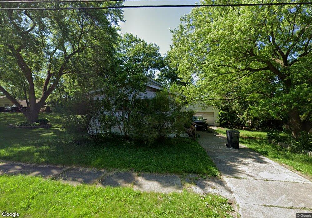
342 Tennyson Ave Flint, MI 48507
Circle Drive NeighborhoodEstimated Value: $54,000 - $78,000
2
Beds
1
Bath
925
Sq Ft
$73/Sq Ft
Est. Value
About This Home
This home is located at 342 Tennyson Ave, Flint, MI 48507 and is currently estimated at $67,172, approximately $72 per square foot. 342 Tennyson Ave is a home located in Genesee County with nearby schools including Freeman Elementary School, Flint Southwestern Classical Academy, and International Academy of Flint (K-12).
Ownership History
Date
Name
Owned For
Owner Type
Purchase Details
Closed on
Oct 11, 2022
Sold by
Genesee County Land Bank Authority
Bought by
Myers Jason Michael and Craig Katherine Lorraine
Current Estimated Value
Purchase Details
Closed on
Dec 19, 2019
Sold by
Cherry Deborah L
Bought by
County Land Bank Authority
Purchase Details
Closed on
Jan 31, 2001
Sold by
Raymond David E and Raymond Paul
Bought by
Szczerba Karen
Home Financials for this Owner
Home Financials are based on the most recent Mortgage that was taken out on this home.
Original Mortgage
$53,100
Interest Rate
12.5%
Purchase Details
Closed on
Oct 5, 2000
Sold by
Henry Kimberlie Mae
Bought by
Raymond David E
Create a Home Valuation Report for This Property
The Home Valuation Report is an in-depth analysis detailing your home's value as well as a comparison with similar homes in the area
Home Values in the Area
Average Home Value in this Area
Purchase History
| Date | Buyer | Sale Price | Title Company |
|---|---|---|---|
| Myers Jason Michael | $4,900 | None Listed On Document | |
| County Land Bank Authority | -- | None Available | |
| Szczerba Karen | $59,000 | First American Title Ins Co | |
| Raymond David E | $34,000 | First American Title Ins Co |
Source: Public Records
Mortgage History
| Date | Status | Borrower | Loan Amount |
|---|---|---|---|
| Previous Owner | Szczerba Karen | $53,100 |
Source: Public Records
Tax History
| Year | Tax Paid | Tax Assessment Tax Assessment Total Assessment is a certain percentage of the fair market value that is determined by local assessors to be the total taxable value of land and additions on the property. | Land | Improvement |
|---|---|---|---|---|
| 2025 | $2,104 | $27,100 | $0 | $0 |
| 2024 | $1,927 | $28,500 | $0 | $0 |
| 2023 | $1,866 | $24,500 | $0 | $0 |
| 2022 | $0 | $0 | $0 | $0 |
| 2021 | $0 | $0 | $0 | $0 |
| 2020 | $268 | $0 | $0 | $0 |
| 2019 | $935 | $11,000 | $0 | $0 |
| 2018 | $1,881 | $10,800 | $0 | $0 |
| 2017 | $2,381 | $0 | $0 | $0 |
| 2016 | $717 | $0 | $0 | $0 |
| 2015 | -- | $0 | $0 | $0 |
| 2014 | -- | $0 | $0 | $0 |
| 2012 | -- | $13,200 | $0 | $0 |
Source: Public Records
Map
Nearby Homes
- 338 Browning Ave
- 4526 Milton Dr
- 4133 Custer Ave
- 530 McKeighan Ave
- 4127 Custer Ave
- 326 Burroughs Ave
- 4126 Circle Dr
- 617 McKeighan Ave
- 3442 Griffith Ct
- 352 Buckingham Ave
- 1483 Carman St
- 361 Buckingham Ave
- 1453 Carman St
- 1450 Carman St
- 3512 Barcey Ct
- 621 Burroughs Ave
- 818 Dell Ave
- 630 Buckingham Ave
- 1388 Carman St
- 1409 James St
- 334 Tennyson Ave
- 330 Tennyson Ave
- 347 E Hemphill Rd
- 337 E Hemphill Rd
- 327 E Hemphill Rd
- 326 Tennyson Ave
- 359 E Hemphill Rd
- 339 Tennyson Ave
- 351 Tennyson Ave
- 331 Tennyson Ave
- 322 Tennyson Ave
- 358 Tennyson Ave
- 371 E Hemphill Rd
- 327 Tennyson Ave
- 359 Tennyson Ave
- 317 E Hemphill Rd
- 318 Bede St
- 4516 Keats St
- 318 Tennyson Ave
- 4512 Keats St
Your Personal Tour Guide
Ask me questions while you tour the home.