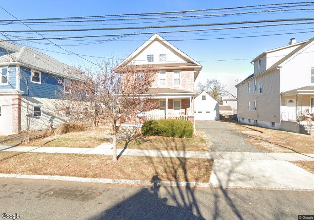
342 W 2nd St Unit 2 Bound Brook, NJ 08805
Estimated Value: $495,000 - $541,000
2
Beds
1
Bath
1,150
Sq Ft
$455/Sq Ft
Est. Value
About This Home
This home is located at 342 W 2nd St Unit 2, Bound Brook, NJ 08805 and is currently estimated at $522,931, approximately $454 per square foot. 342 W 2nd St Unit 2 is a home located in Somerset County with nearby schools including LaMonte Annex Elementary School, Lafayette Elementary School, and Bound Brook High School.
Ownership History
Date
Name
Owned For
Owner Type
Purchase Details
Closed on
Jan 8, 2019
Sold by
Barch Zinovy
Bought by
Peterson George
Current Estimated Value
Home Financials for this Owner
Home Financials are based on the most recent Mortgage that was taken out on this home.
Original Mortgage
$205,500
Interest Rate
4.4%
Mortgage Type
New Conventional
Purchase Details
Closed on
May 8, 2008
Sold by
Robison Douglas
Bought by
Barch Zinovy and Barch Yelena
Home Financials for this Owner
Home Financials are based on the most recent Mortgage that was taken out on this home.
Original Mortgage
$225,000
Interest Rate
5.93%
Mortgage Type
Purchase Money Mortgage
Purchase Details
Closed on
Oct 16, 2003
Sold by
Panebianco Edoardo
Bought by
Robison Douglas
Create a Home Valuation Report for This Property
The Home Valuation Report is an in-depth analysis detailing your home's value as well as a comparison with similar homes in the area
Home Values in the Area
Average Home Value in this Area
Purchase History
| Date | Buyer | Sale Price | Title Company |
|---|---|---|---|
| Peterson George | $275,500 | Executive Abstract Ttl Agcy | |
| Barch Zinovy | $300,000 | Commonwealth | |
| Robison Douglas | $225,000 | -- |
Source: Public Records
Mortgage History
| Date | Status | Borrower | Loan Amount |
|---|---|---|---|
| Previous Owner | Peterson George | $205,500 | |
| Previous Owner | Barch Zinovy | $225,000 |
Source: Public Records
Tax History Compared to Growth
Tax History
| Year | Tax Paid | Tax Assessment Tax Assessment Total Assessment is a certain percentage of the fair market value that is determined by local assessors to be the total taxable value of land and additions on the property. | Land | Improvement |
|---|---|---|---|---|
| 2025 | $9,995 | $466,800 | $237,000 | $229,800 |
| 2024 | $9,995 | $440,500 | $217,000 | $223,500 |
| 2023 | $9,790 | $415,200 | $197,000 | $218,200 |
| 2022 | $9,571 | $384,700 | $177,000 | $207,700 |
| 2021 | $8,216 | $306,800 | $117,000 | $189,800 |
| 2020 | $8,144 | $263,800 | $92,000 | $171,800 |
| 2019 | $8,216 | $253,800 | $82,000 | $171,800 |
| 2018 | $7,385 | $221,500 | $72,000 | $149,500 |
| 2017 | $7,484 | $219,400 | $72,000 | $147,400 |
| 2016 | $6,836 | $201,900 | $37,000 | $164,900 |
| 2015 | $7,837 | $236,700 | $47,000 | $189,700 |
| 2014 | $7,079 | $206,500 | $16,800 | $189,700 |
Source: Public Records
Map
Nearby Homes
- 40 van Keuren Ave Unit 42
- 34 van Keuren Ave Unit 38
- 105 La Monte Ave
- 512 W 2nd St
- 130 W High St Unit 132
- 432 Talmage Ave
- 542 Wheatland Ave
- 126 W High St
- 510 Dalay Place
- 307 W Union Ave
- 102 W Franklin St
- 2 Drake St
- 320 Church St
- 606 Vosseller Ave
- 520 Winsor St
- 601 Thompson Ave
- 617 Vosseller Ave
- 112-114 E Union Ave
- 641 Crescent Dr
- 112 E Union Ave