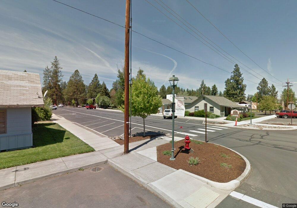
342 W Main Ave Sisters, OR 97759
Estimated Value: $436,920
Studio
--
Bath
--
Sq Ft
10,454
Sq Ft Lot
About This Home
This home is located at 342 W Main Ave, Sisters, OR 97759 and is currently priced at $436,920. 342 W Main Ave is a home located in Deschutes County with nearby schools including Sisters Elementary School, Sisters Middle School, and Sisters High School.
Ownership History
Date
Name
Owned For
Owner Type
Purchase Details
Closed on
Sep 22, 2021
Sold by
Landis Steven P and Landis Sheila T
Bought by
Landis Steven P and Landis Sheila T
Current Estimated Value
Purchase Details
Closed on
Aug 28, 2007
Sold by
Landis Steven P
Bought by
Landis Steven P and Landis Sheila T
Home Financials for this Owner
Home Financials are based on the most recent Mortgage that was taken out on this home.
Original Mortgage
$155,000
Interest Rate
6.74%
Mortgage Type
New Conventional
Purchase Details
Closed on
Jul 18, 2006
Sold by
Hunt Richard C
Bought by
Landis Steven P
Purchase Details
Closed on
Jul 19, 2005
Sold by
Clark Steven J and Clark Randalyn N
Bought by
Hunt Richard C
Create a Home Valuation Report for This Property
The Home Valuation Report is an in-depth analysis detailing your home's value as well as a comparison with similar homes in the area
Home Values in the Area
Average Home Value in this Area
Purchase History
| Date | Buyer | Sale Price | Title Company |
|---|---|---|---|
| Landis Steven P | -- | None Available | |
| Landis Steven P | -- | First Amer Title Ins Co Or | |
| Landis Steven P | $310,000 | Amerititle | |
| Hunt Richard C | $200,000 | Amerititle |
Source: Public Records
Mortgage History
| Date | Status | Borrower | Loan Amount |
|---|---|---|---|
| Closed | Landis Steven P | $155,000 |
Source: Public Records
Tax History
| Year | Tax Paid | Tax Assessment Tax Assessment Total Assessment is a certain percentage of the fair market value that is determined by local assessors to be the total taxable value of land and additions on the property. | Land | Improvement |
|---|---|---|---|---|
| 2025 | $2,651 | $159,750 | $159,750 | -- |
| 2024 | $2,568 | $155,100 | $155,100 | -- |
| 2023 | $2,495 | $150,590 | $150,590 | $0 |
| 2022 | $2,319 | $141,960 | $0 | $0 |
| 2021 | $2,344 | $137,830 | $0 | $0 |
| 2020 | $2,228 | $137,830 | $0 | $0 |
| 2019 | $2,173 | $133,820 | $0 | $0 |
| 2018 | $2,103 | $129,930 | $0 | $0 |
| 2017 | $2,031 | $126,150 | $0 | $0 |
| 2016 | $2,002 | $122,480 | $0 | $0 |
| 2015 | $1,880 | $118,920 | $0 | $0 |
| 2014 | $1,818 | $115,460 | $0 | $0 |
Source: Public Records
Map
Nearby Homes
- 243 W Adams Ave
- Lot-500 Forest Service Loop Unit 1030 Rd
- 285 W Washington Ave
- 650 W Sprout Ln Unit Lot 134
- 610 W Sprout Ln Unit Lot 131
- 620 W Sprout Ln Unit Lot 132
- 690 W Sprout Ln Unit Lot 137
- 630 W Sprout Ln Unit Lot 133
- 335 S Cottonwood St
- 337 W Jefferson Ave Unit 1
- 631 W Seedling Ln Unit Lot 152
- 601 W Seedling Ln Unit Lot 153
- 721 W Seedling Ln Unit Lot 148
- 568 W Jefferson Ave
- 653 Sisters Park Dr Unit Lot 121
- 643 Sisters Park Dr Unit Lot 122
- 533 Sisters Park Dr Unit Lot 129
- 505 N Pine St
- 504 Sisters Park Dr Unit Lot 102
- 0 N Spruce St
- 372 W Main Ave
- 392 W Main Ave Unit 3
- 392 W Main Ave
- 343 W Adams Ave
- 153 N Oak St
- 275 N Oak St
- 124 N Oak St
- 282 W Main Ave
- 320 W Cascade Ave
- 274 N Oak St
- 164 N Oak St
- 242 W Main Ave
- 304 W Adams Ave Unit 2
- 114 N Oak St
- 304 NW Adams St
- 304 Adams St
- 290 W Cascade Ave
- 354 Adams St
- 331 W Cascade Ave
- 354 W Adams Ave
Your Personal Tour Guide
Ask me questions while you tour the home.