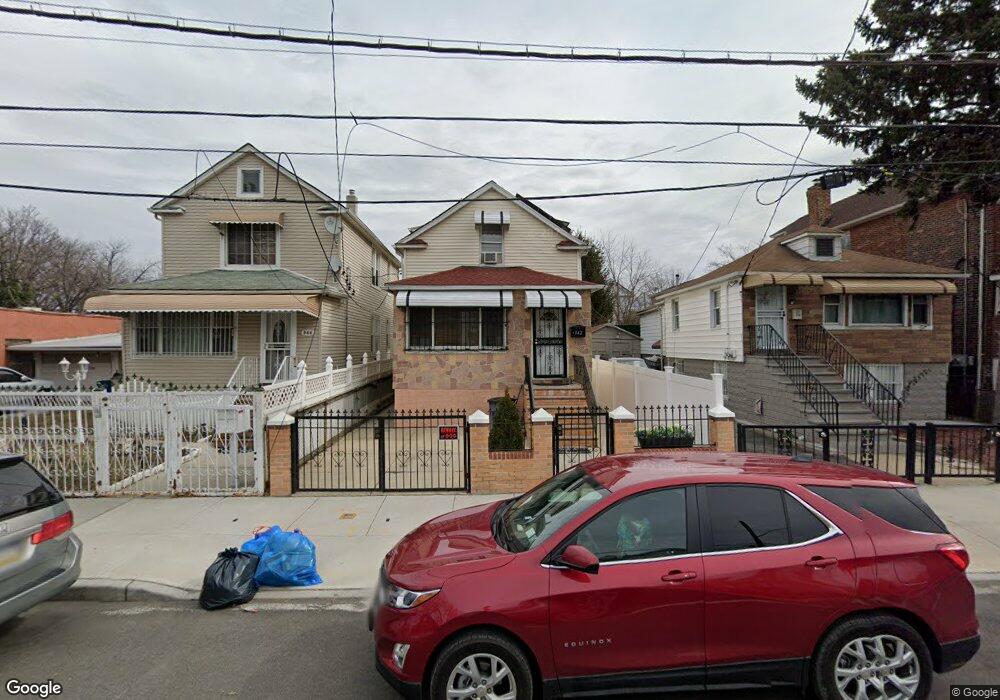
342 White Plains Rd Bronx, NY 10473
Clason Point NeighborhoodEstimated Value: $638,000 - $804,000
--
Bed
--
Bath
1,960
Sq Ft
$357/Sq Ft
Est. Value
About This Home
This home is located at 342 White Plains Rd, Bronx, NY 10473 and is currently estimated at $698,939, approximately $356 per square foot. 342 White Plains Rd is a home located in Bronx County with nearby schools including P.S. 182 and Holy Cross Elementary School.
Ownership History
Date
Name
Owned For
Owner Type
Purchase Details
Closed on
Oct 11, 2017
Sold by
Graham Henry
Bought by
Graham Verna R
Current Estimated Value
Purchase Details
Closed on
Apr 28, 1995
Sold by
Bermudez William and Bermudez Marina
Bought by
Graham Henry
Home Financials for this Owner
Home Financials are based on the most recent Mortgage that was taken out on this home.
Original Mortgage
$139,050
Interest Rate
8.2%
Mortgage Type
FHA
Create a Home Valuation Report for This Property
The Home Valuation Report is an in-depth analysis detailing your home's value as well as a comparison with similar homes in the area
Home Values in the Area
Average Home Value in this Area
Purchase History
| Date | Buyer | Sale Price | Title Company |
|---|---|---|---|
| Graham Verna R | -- | -- | |
| Graham Henry | $140,000 | Judicial Title Ins Agency |
Source: Public Records
Mortgage History
| Date | Status | Borrower | Loan Amount |
|---|---|---|---|
| Previous Owner | Graham Henry | $139,050 |
Source: Public Records
Tax History Compared to Growth
Tax History
| Year | Tax Paid | Tax Assessment Tax Assessment Total Assessment is a certain percentage of the fair market value that is determined by local assessors to be the total taxable value of land and additions on the property. | Land | Improvement |
|---|---|---|---|---|
| 2025 | $4,727 | $25,148 | $4,202 | $20,946 |
| 2024 | $4,727 | $24,936 | $4,547 | $20,389 |
| 2023 | $4,496 | $23,538 | $4,886 | $18,652 |
| 2022 | $4,147 | $38,700 | $7,560 | $31,140 |
| 2021 | $4,107 | $36,360 | $7,560 | $28,800 |
| 2020 | $4,140 | $36,720 | $7,560 | $29,160 |
| 2019 | $4,054 | $35,700 | $7,560 | $28,140 |
| 2018 | $3,701 | $19,615 | $5,225 | $14,390 |
| 2017 | $3,474 | $18,511 | $6,058 | $12,453 |
| 2016 | $3,181 | $17,464 | $6,146 | $11,318 |
| 2015 | $1,886 | $17,464 | $6,662 | $10,802 |
| 2014 | $1,886 | $17,317 | $7,820 | $9,497 |
Source: Public Records
Map
Nearby Homes
- 321 Newman Ave
- 428 Bolton Ave
- 353 Underhill Ave
- 252 Soundview Ave
- 250 Newman Ave
- 246 Soundview Ave
- 444 Underhill Ave
- 1904 Lacombe Ave
- 227 Stephens Ave
- 256 Leland Ave
- 461 Underhill Ave
- 1909 Lacombe Ave
- 500 Bolton Ave
- 410 Thieriot Ave
- 1903 Lacombe Ave
- 1201 Harding Park
- 508 Bolton Ave
- 1101 Harding Park
- 330 Taylor Ave
- 216 Pugsley Ave
- 344 White Plains Rd
- 340 White Plains Rd
- 346 White Plains Rd
- 334 White Plains Rd
- 348 White Plains Rd
- 350 White Plains Rd
- 335 Newman Ave
- 341 Newman Ave
- 339 Newman Ave
- 343 Newman Ave
- 352 White Plains Rd
- 337 Newman Ave
- 337 Newman Ave Unit 2nd Fl
- 345 Newman Ave
- 322 White Plains Rd
- 333 Newman Ave
- 331 Newman Ave
- 347 Newman Ave
- 354 White Plains Rd
- 349 Newman Ave