3420 Crooked Stick Dr Cumming, GA 30041
Estimated Value: $578,000 - $644,000
4
Beds
3
Baths
2,393
Sq Ft
$253/Sq Ft
Est. Value
About This Home
This home is located at 3420 Crooked Stick Dr, Cumming, GA 30041 and is currently estimated at $606,475, approximately $253 per square foot. 3420 Crooked Stick Dr is a home located in Forsyth County with nearby schools including Daves Creek Elementary School, Lakeside Middle School, and South Forsyth High School.
Ownership History
Date
Name
Owned For
Owner Type
Purchase Details
Closed on
Oct 7, 2005
Sold by
Ryland Group Inc
Bought by
Heenan Richard and Heenan Adrian
Current Estimated Value
Home Financials for this Owner
Home Financials are based on the most recent Mortgage that was taken out on this home.
Original Mortgage
$270,985
Outstanding Balance
$144,128
Interest Rate
5.66%
Mortgage Type
New Conventional
Estimated Equity
$462,347
Purchase Details
Closed on
Mar 9, 2005
Sold by
Gi Bert Road Venture Llc
Bought by
Ryland Group Inc
Create a Home Valuation Report for This Property
The Home Valuation Report is an in-depth analysis detailing your home's value as well as a comparison with similar homes in the area
Home Values in the Area
Average Home Value in this Area
Purchase History
| Date | Buyer | Sale Price | Title Company |
|---|---|---|---|
| Heenan Richard | $338,800 | -- | |
| Ryland Group Inc | $188,600 | -- |
Source: Public Records
Mortgage History
| Date | Status | Borrower | Loan Amount |
|---|---|---|---|
| Open | Heenan Richard | $270,985 |
Source: Public Records
Tax History Compared to Growth
Tax History
| Year | Tax Paid | Tax Assessment Tax Assessment Total Assessment is a certain percentage of the fair market value that is determined by local assessors to be the total taxable value of land and additions on the property. | Land | Improvement |
|---|---|---|---|---|
| 2025 | $1,214 | $289,704 | $72,000 | $217,704 |
| 2024 | $1,214 | $215,956 | $50,000 | $165,956 |
| 2023 | $1,111 | $215,956 | $50,000 | $165,956 |
| 2022 | $978 | $157,936 | $32,000 | $125,936 |
| 2021 | $1,006 | $157,936 | $32,000 | $125,936 |
| 2020 | $994 | $145,352 | $32,000 | $113,352 |
| 2019 | $999 | $144,448 | $32,000 | $112,448 |
| 2018 | $950 | $126,344 | $28,000 | $98,344 |
| 2017 | $1,015 | $140,064 | $28,000 | $112,064 |
| 2016 | $856 | $113,104 | $18,000 | $95,104 |
| 2015 | $856 | $113,104 | $18,000 | $95,104 |
| 2014 | $748 | $104,844 | $18,000 | $86,844 |
Source: Public Records
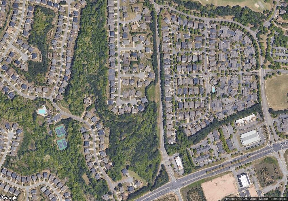
Map
Nearby Homes
- 6705 Marlow Dr
- 2945 Links View Way
- 5985 Marlow Dr
- 6143 Menlow Ct
- 3935 Silver Springs Rd
- 3905 Silver Springs Rd
- 5349 Davenport Manor
- 2390 Colchester Ct
- 3945 Medley Way
- 4865 Cheltenham Place
- 5303 Davenport Manor
- 4110 Morgan Elizabeth Way
- 3635 Crowchild Dr
- 4330 Wildener Way
- 4795 Cold Spring Ct
- 4250 Granby Cir
- 3105 Neal Ct
- 3138 Neal Ct
- 3415 Crooked Stick Dr
- 3410 Crooked Stick Dr
- 3395 Crooked Stick Dr
- 3390 Crooked Stick Dr
- 3330 Medinah Cir
- 3340 Medinah Cir
- 3380 Crooked Stick Dr
- 3375 Crooked Stick Dr
- 3320 Medinah Cir
- 3370 Crooked Stick Dr
- 3350 Medinah Cir
- 0 Medinah Cir Unit 8621724
- 0 Medinah Cir Unit 8535098
- 0 Medinah Cir Unit 8183682
- 0 Medinah Cir Unit 7354809
- 0 Medinah Cir
- 334 Medinah Cir
- 3315 Crooked Stick Dr
- 6505 Marlow Dr
- 6445 Marlow Dr