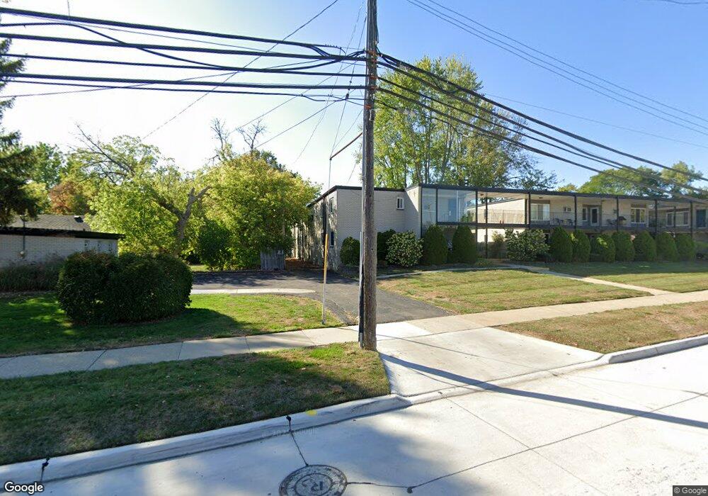
3421 Hillside Dr Unit 1 Royal Oak, MI 48073
Estimated Value: $125,000 - $136,000
2
Beds
1
Bath
811
Sq Ft
$163/Sq Ft
Est. Value
About This Home
This home is located at 3421 Hillside Dr Unit 1, Royal Oak, MI 48073 and is currently estimated at $132,179, approximately $162 per square foot. 3421 Hillside Dr Unit 1 is a home located in Oakland County with nearby schools including Alfred E. Upton Elementary School, Royal Oak Middle School, and Royal Oak High School.
Ownership History
Date
Name
Owned For
Owner Type
Purchase Details
Closed on
Jul 1, 2022
Sold by
Michael Moffat
Bought by
Marquard Gabrielle Emily
Current Estimated Value
Purchase Details
Closed on
Jul 9, 2018
Sold by
Harlow Kevin S and Harlow Susan D
Bought by
Moffat Michael
Home Financials for this Owner
Home Financials are based on the most recent Mortgage that was taken out on this home.
Original Mortgage
$51,000
Interest Rate
4.5%
Mortgage Type
New Conventional
Purchase Details
Closed on
Jun 6, 2011
Sold by
Root Shirley Ann and Root Alton L
Bought by
Harlow Stephen and Harlow Kevin S
Purchase Details
Closed on
Jun 15, 2010
Sold by
Root Shirley Ann and Solomon Lillian K
Bought by
Root Shirley Ann and Root Alton L
Purchase Details
Closed on
Oct 16, 2007
Sold by
Solomon Lillian K and Root Shirley Ann
Bought by
Solomon Lillian K and Root Shirley Ann
Create a Home Valuation Report for This Property
The Home Valuation Report is an in-depth analysis detailing your home's value as well as a comparison with similar homes in the area
Home Values in the Area
Average Home Value in this Area
Purchase History
| Date | Buyer | Sale Price | Title Company |
|---|---|---|---|
| Marquard Gabrielle Emily | $109,900 | None Listed On Document | |
| Moffat Michael | $85,000 | None Available | |
| Harlow Stephen | $31,000 | Interstate Title Inc | |
| Root Shirley Ann | -- | None Available | |
| Solomon Lillian K | -- | None Available |
Source: Public Records
Mortgage History
| Date | Status | Borrower | Loan Amount |
|---|---|---|---|
| Previous Owner | Moffat Michael | $51,000 |
Source: Public Records
Tax History Compared to Growth
Tax History
| Year | Tax Paid | Tax Assessment Tax Assessment Total Assessment is a certain percentage of the fair market value that is determined by local assessors to be the total taxable value of land and additions on the property. | Land | Improvement |
|---|---|---|---|---|
| 2024 | $1,617 | $56,210 | $0 | $0 |
| 2022 | $1,595 | $47,730 | $0 | $0 |
| 2020 | $1,571 | $41,570 | $0 | $0 |
| 2018 | $1,595 | $31,820 | $0 | $0 |
| 2017 | $1,108 | $31,820 | $0 | $0 |
| 2015 | -- | $27,740 | $0 | $0 |
| 2014 | -- | $26,260 | $0 | $0 |
| 2011 | -- | $33,990 | $0 | $0 |
Source: Public Records
Map
Nearby Homes
- 4030 W 13 Mile Rd Unit 3
- 4041 Yorba Linda Blvd
- 3316 Harvard Rd
- 3626 Hillside Dr
- 3420 Fairmont Rd
- 3334 Cummings Ave
- 3351 Prairie Ave
- 4006 Highfield Rd
- 3311 Ellwood Ave
- 30798 Brentwood St
- 3711 Hampton Blvd
- 3523 Ravena Ave
- 31607 Auburn Dr
- 3521 Chester Rd
- 4419 Beverly Ct
- 4121 Arlington Dr
- 4110 Arlington Dr
- 3711 Normandy Rd
- 4235 Bacon Ave
- 4236 Buckingham Ave
- 3421 Hillside Dr
- 3421 Hillside Dr
- 3421 Hillside Dr
- 3421 Hillside Dr
- 3421 Hillside Dr
- 3421 Hillside Dr
- 3421 Hillside Dr
- 3421 Hillside Dr
- 3421 Hillside Dr
- 3421 Hillside Dr Unit 7
- 3421 Hillside Dr
- 3421 Hillside Dr
- 3421 Hillside Dr
- 3421 Hillside Dr
- 3421 Hillside Dr
- 3421 Hillside Dr Unit 26
- 3421 Hillside Dr Unit 8
- 3421 Hillside Dr Unit 6
- 3421 Hillside Dr Unit 22
- 3421 Hillside Dr Unit 5