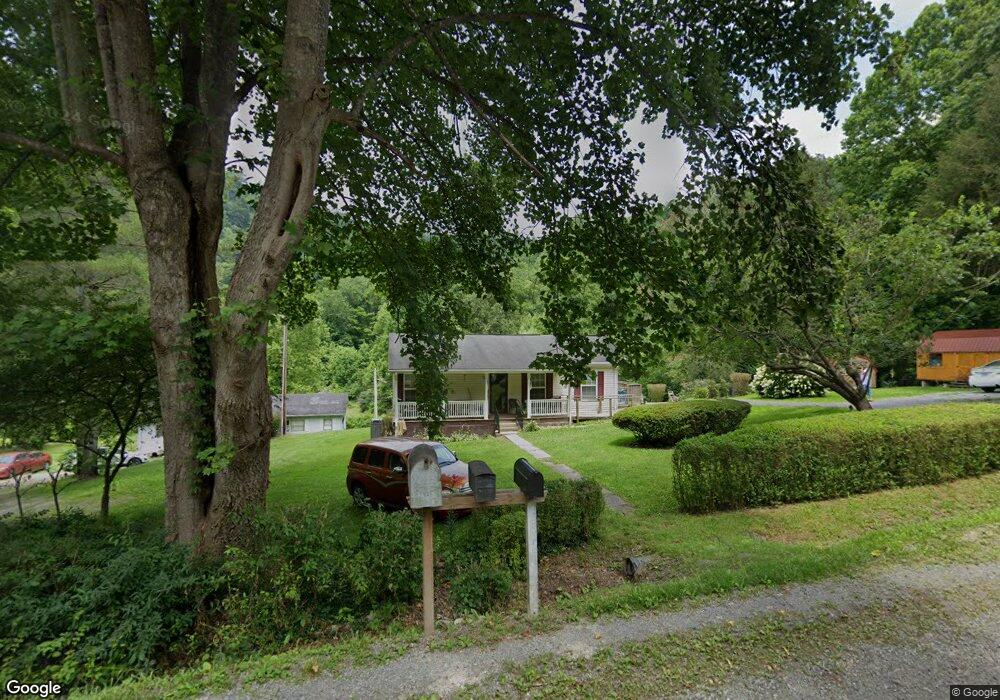
3421 State Route 606 Keokee, VA 24265
Estimated Value: $79,000 - $136,000
2
Beds
1
Bath
--
Sq Ft
7.45
Acres
About This Home
This home is located at 3421 State Route 606, Keokee, VA 24265 and is currently estimated at $99,394. 3421 State Route 606 is a home located in Lee County.
Ownership History
Date
Name
Owned For
Owner Type
Purchase Details
Closed on
Aug 2, 2021
Sold by
Hopper Barbara Sue Magaline and Smith Allan W
Bought by
Parsons Lonnie Allen and Parsons Tammy Lee
Current Estimated Value
Purchase Details
Closed on
Jun 12, 2014
Sold by
Cecil Sam B and Cecil Louise
Bought by
The Cecil Family Living Trust
Create a Home Valuation Report for This Property
The Home Valuation Report is an in-depth analysis detailing your home's value as well as a comparison with similar homes in the area
Home Values in the Area
Average Home Value in this Area
Purchase History
| Date | Buyer | Sale Price | Title Company |
|---|---|---|---|
| Parsons Lonnie Allen | -- | None Listed On Document | |
| Parsons Lonnie Allen | -- | None Available | |
| The Cecil Family Living Trust | -- | None Available |
Source: Public Records
Tax History Compared to Growth
Tax History
| Year | Tax Paid | Tax Assessment Tax Assessment Total Assessment is a certain percentage of the fair market value that is determined by local assessors to be the total taxable value of land and additions on the property. | Land | Improvement |
|---|---|---|---|---|
| 2025 | $423 | $61,300 | $21,000 | $40,300 |
| 2024 | $255 | $34,400 | $17,300 | $17,100 |
| 2023 | $213 | $34,400 | $17,300 | $17,100 |
| 2022 | $213 | $34,400 | $17,300 | $17,100 |
| 2021 | $215 | $34,800 | $17,700 | $17,100 |
| 2020 | $215 | $80,100 | $17,700 | $62,400 |
| 2019 | $215 | $34,800 | $17,700 | $17,100 |
| 2018 | $215 | $34,800 | $17,700 | $17,100 |
| 2017 | $215 | $34,800 | $17,700 | $17,100 |
| 2016 | $215 | $34,800 | $17,700 | $17,100 |
| 2015 | -- | $31,500 | $17,700 | $13,800 |
| 2013 | -- | $31,500 | $17,700 | $13,800 |
Source: Public Records
Map
Nearby Homes
- Tbd Right Poor Valley Rd
- 44745 Veterans Memorial Hwy
- 0 Tbd State Route 606 Unit LotWP001
- 487 Right Poor Valley Rd
- 00 Sandlick Rd
- 5239 U S 421
- 791 N Kentucky St
- 000 Cave Springs Rd
- 0 Shuler Dr
- 301 S Johnson Dr
- 404 N Johnson Dr
- 2301 Monarch Rd
- Tbd Big Branch Rd
- 000 Big Branch Rd
- Tbd Harrell St
- TBD Cave Springs Rd
- 8426 U S 421
- 167 Baxter Loop
- 468 Spears Dr
- 00 S Ford St
- 3425 State Route 606
- 3426 State Route 606
- 3545 State Route 606
- 3566 State Route 606
- 3187 State Route 606
- 3132 State Route 606
- 3097 State Route 606
- 3039 State Route 606
- 2988 State Route 606
- 2987 State Route 606
- 3978 State Route 606
- 2930 State Route 606
- 2995 State Route 606
- 4331 State Route 606
- 4365 State Route 606
- 141 Reeds Creek Rd
- 195 Reeds Creek Rd
- 243 Reeds Creek Rd
- 498 Gallery Dr
- 190 Reeds Creek Rd