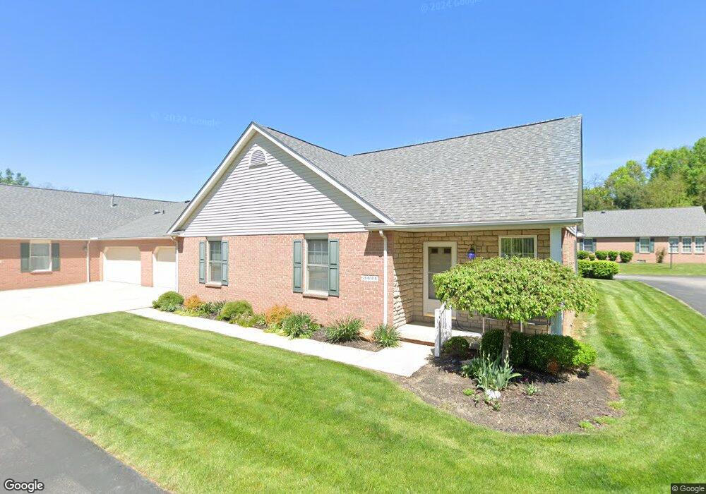
3421 Townsend Way NW Uniontown, OH 44685
Estimated Value: $215,000 - $229,000
2
Beds
2
Baths
1,360
Sq Ft
$162/Sq Ft
Est. Value
About This Home
This home is located at 3421 Townsend Way NW, Uniontown, OH 44685 and is currently estimated at $220,605, approximately $162 per square foot. 3421 Townsend Way NW is a home located in Stark County with nearby schools including Lake Middle/High School, Lake Center Christian School, and Mayfair Christian School.
Ownership History
Date
Name
Owned For
Owner Type
Purchase Details
Closed on
May 17, 2018
Sold by
Gibson Rubie C and Gibson Rubie Christine
Bought by
Stalnaker Deborah L
Current Estimated Value
Home Financials for this Owner
Home Financials are based on the most recent Mortgage that was taken out on this home.
Original Mortgage
$94,400
Outstanding Balance
$81,282
Interest Rate
4.4%
Mortgage Type
New Conventional
Estimated Equity
$139,323
Purchase Details
Closed on
Feb 24, 2011
Sold by
Seroteck Robert
Bought by
Prestier Gerald J and Prestier Sherry L
Purchase Details
Closed on
Jul 24, 2002
Sold by
Yoder Leroy J and Yoder Martha Mae
Bought by
Gibson Rubie Christine
Create a Home Valuation Report for This Property
The Home Valuation Report is an in-depth analysis detailing your home's value as well as a comparison with similar homes in the area
Home Values in the Area
Average Home Value in this Area
Purchase History
| Date | Buyer | Sale Price | Title Company |
|---|---|---|---|
| Stalnaker Deborah L | $118,000 | None Available | |
| Prestier Gerald J | -- | Attorney | |
| Gibson Rubie Christine | $137,000 | -- |
Source: Public Records
Mortgage History
| Date | Status | Borrower | Loan Amount |
|---|---|---|---|
| Open | Stalnaker Deborah L | $94,400 |
Source: Public Records
Tax History Compared to Growth
Tax History
| Year | Tax Paid | Tax Assessment Tax Assessment Total Assessment is a certain percentage of the fair market value that is determined by local assessors to be the total taxable value of land and additions on the property. | Land | Improvement |
|---|---|---|---|---|
| 2025 | -- | $58,460 | $12,780 | $45,680 |
| 2024 | -- | $58,460 | $12,780 | $45,680 |
| 2023 | $2,337 | $45,850 | $8,750 | $37,100 |
| 2022 | $2,344 | $45,850 | $8,750 | $37,100 |
| 2021 | $2,370 | $45,850 | $8,750 | $37,100 |
| 2020 | $2,316 | $40,040 | $8,050 | $31,990 |
| 2019 | $2,297 | $40,040 | $8,050 | $31,990 |
| 2018 | $1,797 | $40,040 | $8,050 | $31,990 |
| 2017 | $1,710 | $36,300 | $7,280 | $29,020 |
| 2016 | $8,448 | $36,300 | $7,280 | $29,020 |
| 2015 | $1,798 | $36,300 | $7,280 | $29,020 |
| 2014 | $77 | $39,170 | $9,170 | $30,000 |
| 2013 | $960 | $40,500 | $9,170 | $31,330 |
Source: Public Records
Map
Nearby Homes
- 3475 Heckman St NW
- 11316 Cleveland Ave NW
- 0 Heckman St NW Unit 5154708
- 3863 Heckman St NW
- 3851 Cromford Cir NW
- 12235 Cantburg Ave NW
- 11056 Peach Glen Ave NW
- 11065 Dunsby Ave NW
- 843 Brodie Ct
- 835 Brodie Ct
- 12494 Bridgemont Ave NW
- 10531 Newbury Ave NW
- 12855 Redwood Ave NW
- Sarasota Plan at Spring Hill - Spring Hill Villas
- Chester Plan at Spring Hill - Spring Hill Villas
- Kenai Plan at Spring Hill - Spring Hill Villas
- Holston Plan at Spring Hill - Spring Hill Villas
- Bradbern Plan at Spring Hill - Spring Hill Villas
- Northwood Plan at Spring Hill - Spring Hill Villas
- 3212 Deborah Ct
- 3389 Townsend Way NW Unit 7
- 3392 Willow Spring Dr NW Unit 5
- 11779 Villa Vista Dr NW Unit 23
- 3390 Willow Spring Dr NW Unit 8
- 11777 Villa Vista Dr NW Unit 24
- 11772 Bright Angel Path NW Unit 21
- 11727 Villa Vista Dr NW Unit 18
- 3424 Willow Spring Dr NW Unit 2
- 3422 Willow Spring Dr NW Unit 3
- 3391 Townsend Way NW Unit 6
- 3423 Townsend Way NW
- 3423 Townsend Way NW
- 3423 Townsend Way NW
- 11723 Bright Angel Path NW Unit 13
- 11724 Villa Vista Dr NW Unit 15
- 11725 Bright Angel Path NW
- 11723 Villa Vista Dr NW Unit 17
- 11722 Bright Angel Path NW Unit 9
- 11724 Bright Angel Path NW Unit 12
- 11797 Bright Angel Path NW Unit 20