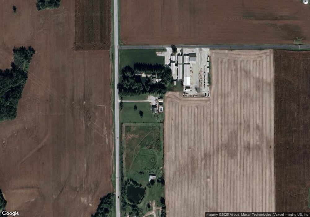
3422 State Route 159 Freeburg, IL 62243
Estimated Value: $214,000
--
Bed
--
Bath
1,624
Sq Ft
$132/Sq Ft
Est. Value
About This Home
This home is located at 3422 State Route 159, Freeburg, IL 62243 and is currently priced at $214,000, approximately $131 per square foot. 3422 State Route 159 is a home located in St. Clair County with nearby schools including Freeburg Elementary School, Freeburg Community High School, and St John the Baptist Catholic School.
Ownership History
Date
Name
Owned For
Owner Type
Purchase Details
Closed on
May 25, 2022
Sold by
Kreher Joseph C and Patricia L Kreher Revocable Trust Patricia L
Bought by
Wieland Gregory T
Current Estimated Value
Purchase Details
Closed on
Dec 2, 2016
Sold by
Citizens Community Bank
Bought by
Wieland Gregory T
Purchase Details
Closed on
Feb 7, 2005
Sold by
Moss Joan E and Moss Wesley C
Bought by
Hughes John and Hughes Stacy
Purchase Details
Closed on
Sep 13, 2001
Sold by
Moss Joan E
Bought by
People Of The State Of Illinois
Create a Home Valuation Report for This Property
The Home Valuation Report is an in-depth analysis detailing your home's value as well as a comparison with similar homes in the area
Home Values in the Area
Average Home Value in this Area
Purchase History
| Date | Buyer | Sale Price | Title Company |
|---|---|---|---|
| Wieland Gregory T | -- | Town & Country Title | |
| Wieland Gregory T | $94,000 | Southern Il Real Estate Titl | |
| Hughes John | $160,000 | Metro East Title Corporation | |
| People Of The State Of Illinois | -- | -- |
Source: Public Records
Tax History Compared to Growth
Tax History
| Year | Tax Paid | Tax Assessment Tax Assessment Total Assessment is a certain percentage of the fair market value that is determined by local assessors to be the total taxable value of land and additions on the property. | Land | Improvement |
|---|---|---|---|---|
| 2022 | $4,393 | $52,373 | $12,434 | $39,939 |
| 2021 | $3,741 | $43,820 | $11,708 | $32,112 |
| 2020 | $3,350 | $37,842 | $11,296 | $26,546 |
| 2019 | $3,065 | $35,705 | $11,296 | $24,409 |
| 2018 | $2,960 | $34,454 | $10,900 | $23,554 |
| 2017 | $3,726 | $32,858 | $10,395 | $22,463 |
| 2016 | $4,601 | $51,664 | $5,922 | $45,742 |
| 2014 | $4,068 | $50,841 | $5,828 | $45,013 |
| 2013 | $2,266 | $51,948 | $5,955 | $45,993 |
Source: Public Records
Map
Nearby Homes
- 3402 Arbor View Ct
- 5548 High St
- 5433 Kraft Rd
- 309 Sunset Dr
- 14 N High St
- TBB Kraft Rd
- 227 Alamosa Dr
- 408 S Smith St
- 222 Alamosa Dr
- 363 Sleeping Indian Dr
- 359 Sleeping Indian Dr
- 304 Torrington Ln
- 433 Foxtail Dr
- 440 Foxtail Dr
- 421 Foxtail Dr
- 420 Foxtail Dr
- 244 River Laurel Dr
- 6264 Roachtown Rd
- 2042 Woodsong Way Ln
- 2056 Celebration Park Cir
- 6034 Schiermeier Rd
- 6034 Schiemeier Rd
- 0 State Route 159 Unit 19037699
- 0 State Route 159 Unit 19010879
- 3468 State Route 159
- 5924 Schmidt Ln
- 3260 S Illinois St
- 3515 State Route 159
- 3522 State Route 159
- 3401 Robin Ln
- 3407 Robin Ln
- 3248 S Illinois St
- 3305 Richland Farms
- 3242 S Illinois St
- 3420 Robin Ln
- 3408 Robin Ln
- 3236 S Illinois St
- 3402 Robin Ln
- 3414 Robin Ln
