34237 Highway 550 Unit 34 Durango, CO 81301
Durango AreaEstimated Value: $246,158 - $328,000
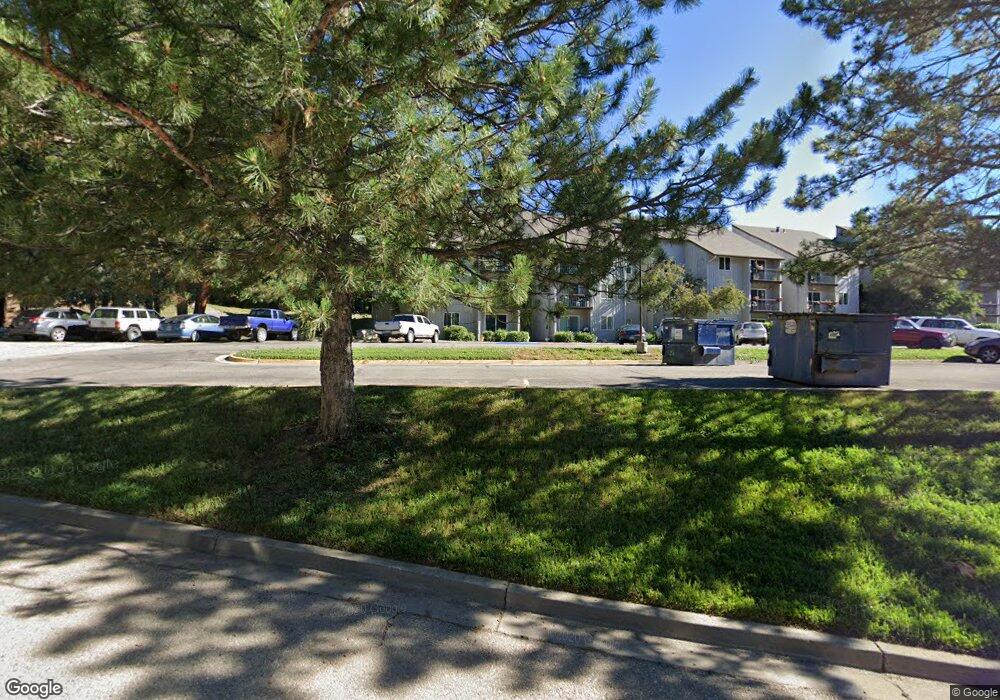
About This Home
This home is located at 34237 Highway 550 Unit 34, Durango, CO 81301 and is currently estimated at $290,040, approximately $389 per square foot. 34237 Highway 550 Unit 34 is a home located in La Plata County with nearby schools including Animas Valley Elementary School, Miller Middle School, and Durango High School.
Ownership History
We collect this data history from publicly available records. To have your information removed, we recommend requesting removal directly through your county’s website.
Purchase Details
Home Financials for this Owner
Home Financials are based on the most recent Mortgage that was taken out on this home.Purchase Details
Home Financials for this Owner
Home Financials are based on the most recent Mortgage that was taken out on this home.Purchase History
We collect this data history from publicly available records. To have your information removed, we recommend requesting removal directly through your county’s website.
| Date | Buyer | Sale Price | Title Company |
|---|---|---|---|
| $129,000 | Land Title Guarantee Company | ||
| $80,000 | Colorado Land Title Company |
Mortgage History
We collect this data history from publicly available records. To have your information removed, we recommend requesting removal directly through your county’s website.
| Date | Status | Borrower | Loan Amount |
|---|---|---|---|
| Open | $117,000 | ||
| Previous Owner | $75,000 |
Tax History
We collect this data history from publicly available records. To have your information removed, we recommend requesting removal directly through your county’s website.
| Year | Tax Paid | Tax Assessment Tax Assessment Total Assessment is a certain percentage of the fair market value that is determined by local assessors to be the total taxable value of land and additions on the property. | Land | Improvement |
|---|---|---|---|---|
| 2026 | $866 | $15,100 | $15,100 | |
| 2025 | $366 | $15,420 | $15,420 | |
| 2024 | $315 | $7,260 | $7,260 | |
| 2023 | $315 | $10,040 | $0 | $10,040 |
| 2022 | $400 | $11,350 | $0 | $11,350 |
| 2021 | $403 | $9,390 | $0 | $9,390 |
| 2020 | $344 | $8,250 | $0 | $8,250 |
| 2019 | $330 | $8,250 | $0 | $8,250 |
| 2018 | $298 | $7,550 | $0 | $7,550 |
| 2017 | $292 | $7,550 | $0 | $7,550 |
| 2016 | $312 | $8,720 | $0 | $8,720 |
| 2015 | $267 | $8,470 | $0 | $8,470 |
| 2014 | $267 | $7,640 | $0 | $7,640 |
| 2013 | -- | $7,640 | $0 | $7,640 |
Map
- 34237 Highway 550 Unit 9
- 34237 U S 550 Unit 27
- 34511 Highway 550 Unit 117
- 151 Lockes Mountain Rd
- 11161 County Road 250
- 10126 County Road 250
- 9907 County Road 250
- 9795 County Road 250
- 33140 Highway 550
- 454 Academy Dr
- 488 Cottonwood Creek Rd
- 247 Rim Rock Dr
- 5 County Road 201
- 532 Cr 201
- 696 Irongate Way
- 3623 Elkhorn Mountain Rd
- 8243 County Road 203
- 136 Outlaw Dr Unit 1B
- 8124 County Road 203 Unit E
- 668 County Road 202
- 34237 Us-550
- 34237 Highway 550
- 34237 Highway 550 Unit 40
- 34237 Highway 550 Unit 39
- 34237 Highway 550 Unit 38
- 34237 Highway 550 Unit 37
- 34237 Highway 550 Unit 36
- 34237 Highway 550 Unit 35
- 34237 Highway 550 Unit 33
- 34237 Highway 550 Unit 31
- 34237 Highway 550 Unit 30
- 34237 Highway 550 Unit 29
- 34237 Highway 550 Unit 28
- 34237 Highway 550 Unit 27
- 34237 Highway 550 Unit 25
- 34237 Highway 550 Unit 24
- 34237 Highway 550 Unit 23
- 34237 Highway 550 Unit 22
- 34237 Highway 550 Unit 21
- 34237 Highway 550 Unit 20
Ask me questions while you tour the home.