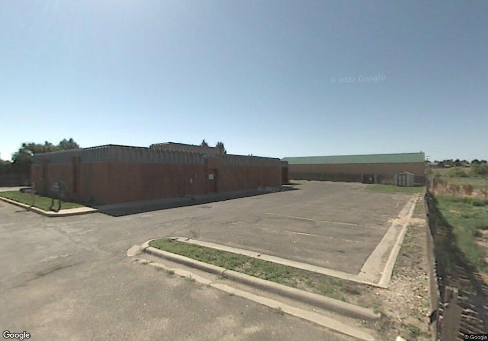
3425 Dell Range Blvd Cheyenne, WY 82009
--
Bed
--
Bath
5,130
Sq Ft
0.8
Acres
About This Home
This home is located at 3425 Dell Range Blvd, Cheyenne, WY 82009. 3425 Dell Range Blvd is a home located in Laramie County with nearby schools including Baggs Elementary School, Carey Junior High School, and East High School.
Ownership History
Date
Name
Owned For
Owner Type
Purchase Details
Closed on
Mar 15, 2010
Sold by
R&R Enterprises Holdings Llc
Bought by
X Diamond Development Llc
Purchase Details
Closed on
Feb 2, 2005
Sold by
Farmers Insurance Exchange
Bought by
Laub Richard B and Laub Colleen A
Home Financials for this Owner
Home Financials are based on the most recent Mortgage that was taken out on this home.
Original Mortgage
$420,000
Interest Rate
5.8%
Mortgage Type
Commercial
Create a Home Valuation Report for This Property
The Home Valuation Report is an in-depth analysis detailing your home's value as well as a comparison with similar homes in the area
Home Values in the Area
Average Home Value in this Area
Purchase History
| Date | Buyer | Sale Price | Title Company |
|---|---|---|---|
| X Diamond Development Llc | -- | None Available | |
| Laub Richard B | -- | -- |
Source: Public Records
Mortgage History
| Date | Status | Borrower | Loan Amount |
|---|---|---|---|
| Previous Owner | Laub Richard B | $420,000 |
Source: Public Records
Tax History Compared to Growth
Tax History
| Year | Tax Paid | Tax Assessment Tax Assessment Total Assessment is a certain percentage of the fair market value that is determined by local assessors to be the total taxable value of land and additions on the property. | Land | Improvement |
|---|---|---|---|---|
| 2025 | $6,195 | $88,959 | $47,957 | $41,002 |
| 2024 | $6,195 | $87,611 | $46,176 | $41,435 |
| 2023 | $6,153 | $87,015 | $45,346 | $41,669 |
| 2022 | $4,964 | $68,766 | $34,708 | $34,058 |
| 2021 | $4,514 | $62,393 | $32,761 | $29,632 |
| 2020 | $4,501 | $62,393 | $32,761 | $29,632 |
| 2019 | $3,633 | $50,316 | $20,238 | $30,078 |
| 2018 | $3,743 | $52,330 | $20,238 | $32,092 |
| 2017 | $3,879 | $53,747 | $20,238 | $33,509 |
| 2016 | $3,905 | $54,080 | $20,238 | $33,842 |
| 2015 | $3,881 | $53,730 | $20,238 | $33,492 |
| 2014 | $3,888 | $53,482 | $20,238 | $33,244 |
Source: Public Records
Map
Nearby Homes
- 4816 Ridge Rd
- 3808 Gregg Way Unit 3
- 3716 Everton Dr
- 3315 Dean Paul Dr
- 4013 Cobblestone Ct
- 4104 Rogers Ave
- 5208 Danielle Ct
- 5021 Sagebrush Ave
- 5004 Newland Ave
- 5246 Danielle Ct
- 5253 Shadow Rock Dr
- 5260 Shadow Rock Dr
- 188 Big Sandy Cir
- 3117 Douglas St
- 5040 Greybull Ave
- 5044 Greybull Ave
- 3728 Sunrise Hills Dr
- 3732 Sunrise Hills Dr
- 4227 Hope Ct
- 5402 Hilltop Ave
- 3502 Dell Range Blvd
- 4500 Parkview Dr
- 4420 Ridge Rd
- 3308 Dell Range Blvd
- 0 Parkview Dr
- 4406 Ridge Rd
- 4517 Parkview Dr Unit 1
- 4517 Parkview Dr
- 4517 Darnell Place
- 4521 Darnell Place
- 4507 Parkview Dr Unit 1
- 4527 Darnell Place
- 4511 Darnell Place
- 4322 Parkview Dr
- 4507 Darnell Place
- 4437 Darnell Place
- 4427 Parkview Dr Unit 3
- 4427 Parkview Dr
- 4431 Darnell Place
- 4318 Parkview Dr