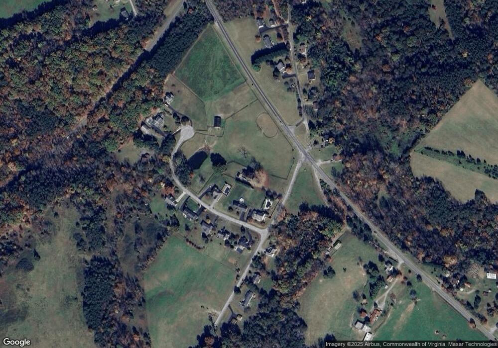
3425 Sterling Rd Roanoke, VA 24014
Estimated Value: $424,000 - $671,000
5
Beds
2
Baths
3,724
Sq Ft
$145/Sq Ft
Est. Value
About This Home
This home is located at 3425 Sterling Rd, Roanoke, VA 24014 and is currently estimated at $541,706, approximately $145 per square foot. 3425 Sterling Rd is a home located in Roanoke County with nearby schools including Mt. Pleasant Elementary School, William Byrd Middle School, and William Byrd High School.
Ownership History
Date
Name
Owned For
Owner Type
Purchase Details
Closed on
Apr 15, 2005
Sold by
Cormier Herbert J and Cormier Sandra J
Bought by
Fenzel Lawrencee L and Fenzel Ella H
Current Estimated Value
Home Financials for this Owner
Home Financials are based on the most recent Mortgage that was taken out on this home.
Original Mortgage
$195,000
Interest Rate
5.87%
Mortgage Type
Credit Line Revolving
Create a Home Valuation Report for This Property
The Home Valuation Report is an in-depth analysis detailing your home's value as well as a comparison with similar homes in the area
Home Values in the Area
Average Home Value in this Area
Purchase History
| Date | Buyer | Sale Price | Title Company |
|---|---|---|---|
| Fenzel Lawrencee L | $195,000 | None Available |
Source: Public Records
Mortgage History
| Date | Status | Borrower | Loan Amount |
|---|---|---|---|
| Closed | Fenzel Lawrencee L | $195,000 |
Source: Public Records
Tax History Compared to Growth
Tax History
| Year | Tax Paid | Tax Assessment Tax Assessment Total Assessment is a certain percentage of the fair market value that is determined by local assessors to be the total taxable value of land and additions on the property. | Land | Improvement |
|---|---|---|---|---|
| 2025 | $5,172 | $502,100 | $105,900 | $396,200 |
| 2024 | $4,654 | $447,500 | $105,900 | $341,600 |
| 2023 | $4,398 | $414,900 | $97,900 | $317,000 |
| 2022 | $631 | $371,400 | $91,900 | $279,500 |
| 2021 | $631 | $359,000 | $86,900 | $272,100 |
| 2020 | $631 | $352,300 | $84,400 | $267,900 |
| 2019 | $3,802 | $348,800 | $82,900 | $265,900 |
| 2018 | $3,368 | $311,100 | $82,900 | $228,200 |
| 2017 | $631 | $309,000 | $82,900 | $226,100 |
| 2016 | $631 | $306,300 | $82,900 | $223,400 |
| 2015 | $3,343 | $306,700 | $82,900 | $223,800 |
| 2014 | $3,314 | $304,000 | $82,900 | $221,100 |
Source: Public Records
Map
Nearby Homes
- 3520 Ballyhack Trail
- 3517 Ballyhack Trail
- 3540 Ballyhack Trail
- 3527 Ballyhack Trail
- 3091 Pitzer Rd
- 3537 Ballyhack Trail
- 3559 Ballyhack Trail
- 0 Tall Pine Ln
- 3592 Ballyhack Trail
- 1701 Mayfield Dr
- 3615 Ballyhack Trail
- 3625 Ballyhack Trail
- 3630 Ballyhack Trail
- 3855 Saul Ln
- 3523 Bandy Rd
- 3849 Saul Ln
- 3644 Ballyhack Trail
- 1631 Eanes Rd
- 3879 Saul Ln
- 3885 Saul Ln
- 3484 Periwinkle Ln
- 3474 Periwinkle Ln
- 3496 Periwinkle Ln
- 3493 Periwinkle Ln
- 3426 Sterling Rd
- 3477 Periwinkle Ln
- 3485 Periwinkle Ln
- 3469 Periwinkle Ln
- 3450 Sterling Rd
- 3461 Periwinkle Ln
- 3400 Jae Valley Rd
- 3404 Jae Valley Rd
- 3486 Mount Pleasant Blvd
- 3445 Periwinkle Ln
- 3480 Mount Pleasant Blvd
- 3460 Sterling Rd
- 3437 Periwinkle Ln
- 3455 Jae Valley Rd
- 3463 Mount Pleasant Blvd
- 3453 Periwinkle Ln
