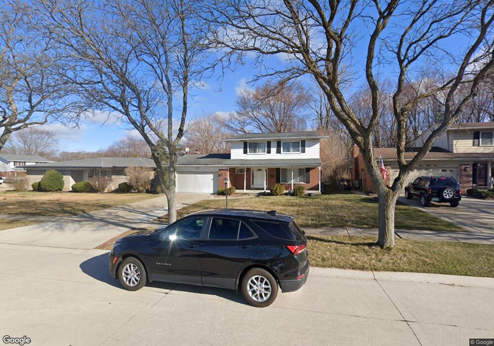
3427 Rhoten Dr Sterling Heights, MI 48310
Estimated Value: $329,505 - $387,000
4
Beds
2
Baths
1,750
Sq Ft
$200/Sq Ft
Est. Value
About This Home
This home is located at 3427 Rhoten Dr, Sterling Heights, MI 48310 and is currently estimated at $349,376, approximately $199 per square foot. 3427 Rhoten Dr is a home located in Macomb County with nearby schools including Angus Elementary School, Grissom Middle School, and Warren Mott High School.
Ownership History
Date
Name
Owned For
Owner Type
Purchase Details
Closed on
Sep 23, 2020
Sold by
Yalda Rita S
Bought by
Akjeel Bassam and Samona Akram
Current Estimated Value
Purchase Details
Closed on
Jun 24, 2019
Sold by
Yalda Rita S
Bought by
Akjeel Bassam and Samona Akram
Purchase Details
Closed on
Feb 28, 2014
Sold by
Poulos Samona Manhaal and Poulos Zozan Fatin
Bought by
Yalda Rita S
Purchase Details
Closed on
Jul 13, 2004
Sold by
Williams John R and Williams Rebecca R
Bought by
Sulamaan Manhaal
Create a Home Valuation Report for This Property
The Home Valuation Report is an in-depth analysis detailing your home's value as well as a comparison with similar homes in the area
Home Values in the Area
Average Home Value in this Area
Purchase History
| Date | Buyer | Sale Price | Title Company |
|---|---|---|---|
| Akjeel Bassam | -- | None Available | |
| Akjeel Bassam | -- | None Available | |
| Yalda Rita S | $130,500 | Homeowners Title Agency | |
| Sulamaan Manhaal | $185,000 | First American Title |
Source: Public Records
Tax History Compared to Growth
Tax History
| Year | Tax Paid | Tax Assessment Tax Assessment Total Assessment is a certain percentage of the fair market value that is determined by local assessors to be the total taxable value of land and additions on the property. | Land | Improvement |
|---|---|---|---|---|
| 2025 | $4,329 | $161,300 | $0 | $0 |
| 2024 | $4,176 | $152,100 | $0 | $0 |
| 2023 | $3,964 | $138,900 | $0 | $0 |
| 2022 | $3,844 | $123,800 | $0 | $0 |
| 2021 | $3,973 | $115,300 | $0 | $0 |
| 2020 | $3,777 | $111,900 | $0 | $0 |
| 2019 | $3,622 | $107,300 | $0 | $0 |
| 2018 | $3,757 | $91,400 | $0 | $0 |
| 2017 | $3,622 | $84,100 | $16,100 | $68,000 |
| 2016 | $3,545 | $84,100 | $0 | $0 |
| 2015 | -- | $80,800 | $0 | $0 |
| 2014 | -- | $68,800 | $0 | $0 |
Source: Public Records
Map
Nearby Homes
- 34544 Sandwood Dr
- 3538 Cero Dr
- 2528 Koper Dr
- 2630 Pall Mall Dr
- 4468 15 Mile Rd Unit F104
- 3040 Alden Dr
- 2600 Pall Mall Dr
- 35078 Cavant Dr
- 2269 Serra Dr
- 2268 Serra Dr
- 4215 Nickolas Dr
- 35272 Vito Dr
- 33569 Breckenridge Dr
- 33735 Kennedy Dr
- 3131 Elmcrest Rd
- 2448 Oakcrest Rd
- 2109 Chesley Dr
- 3528 Byrd Dr
- 2121 Chesley Dr
- 2595 Elmcrest Rd
- 3411 Rhoten Dr
- 3439 Rhoten Dr
- 34832 Robinson Ct
- 3451 Rhoten Dr
- 34844 Robinson Ct
- 34756 Robinson Ct
- 3463 Rhoten Dr
- 34856 Robinson Ct
- 34667 Macdonald Dr
- 34742 Robinson Ct Unit Bldg-Unit
- 34742 Robinson Ct
- 34817 Robinson Ct
- 34829 Robinson Ct
- 34803 Robinson Ct
- 3475 Rhoten Dr
- 34763 Robinson Ct
- 34841 Robinson Ct
- 34868 Robinson Ct
- 34684 Macdonald Dr
- 34655 Macdonald Dr