3428 Sandalwood Ave Springfield, OH 45502
Estimated Value: $224,000 - $273,000
4
Beds
3
Baths
960
Sq Ft
$266/Sq Ft
Est. Value
About This Home
This home is located at 3428 Sandalwood Ave, Springfield, OH 45502 and is currently estimated at $255,304, approximately $265 per square foot. 3428 Sandalwood Ave is a home located in Clark County with nearby schools including Rolling Hills Elementary School, Northridge Middle School, and Kenton Ridge Middle & High School.
Ownership History
Date
Name
Owned For
Owner Type
Purchase Details
Closed on
Jan 21, 1999
Sold by
Herzog Richard H and Herzog Janice A
Bought by
Rife David J and Rife Rhonda S
Current Estimated Value
Home Financials for this Owner
Home Financials are based on the most recent Mortgage that was taken out on this home.
Original Mortgage
$97,100
Interest Rate
6.76%
Mortgage Type
Purchase Money Mortgage
Create a Home Valuation Report for This Property
The Home Valuation Report is an in-depth analysis detailing your home's value as well as a comparison with similar homes in the area
Home Values in the Area
Average Home Value in this Area
Purchase History
| Date | Buyer | Sale Price | Title Company |
|---|---|---|---|
| Rife David J | $107,900 | -- |
Source: Public Records
Mortgage History
| Date | Status | Borrower | Loan Amount |
|---|---|---|---|
| Closed | Rife David J | $97,100 |
Source: Public Records
Tax History Compared to Growth
Tax History
| Year | Tax Paid | Tax Assessment Tax Assessment Total Assessment is a certain percentage of the fair market value that is determined by local assessors to be the total taxable value of land and additions on the property. | Land | Improvement |
|---|---|---|---|---|
| 2024 | $2,687 | $63,550 | $11,080 | $52,470 |
| 2023 | $2,687 | $63,550 | $11,080 | $52,470 |
| 2022 | $2,697 | $63,550 | $11,080 | $52,470 |
| 2021 | $2,475 | $49,410 | $7,920 | $41,490 |
| 2020 | $2,477 | $49,410 | $7,920 | $41,490 |
| 2019 | $2,524 | $49,410 | $7,920 | $41,490 |
| 2018 | $2,941 | $55,040 | $13,180 | $41,860 |
| 2017 | $2,522 | $48,850 | $13,185 | $35,665 |
| 2016 | $2,505 | $48,850 | $13,185 | $35,665 |
| 2015 | $2,394 | $46,823 | $12,677 | $34,146 |
| 2014 | $2,394 | $46,823 | $12,677 | $34,146 |
| 2013 | $2,338 | $46,823 | $12,677 | $34,146 |
Source: Public Records
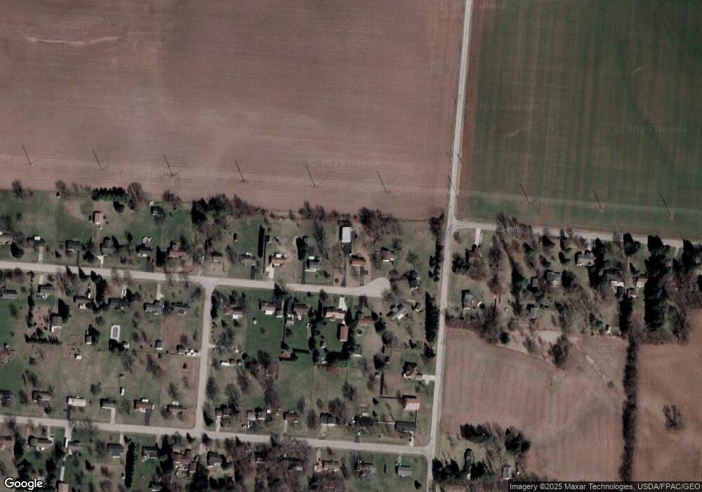
Map
Nearby Homes
- 4273 Kay Ave
- 5763 Twitchell Rd
- 6360 Renee St
- 1888 Birchwood Ct
- 1902 Willow Lakes Dr Unit 71
- 4960 E County Line Rd
- 5111 Old Mechanicsburg Rd
- 4898 Graham St
- 1470 Oldham Dr Unit 12
- Pendleton Plan at Liberty Place
- Holcombe Plan at Liberty Place
- Newcastle Plan at Liberty Place
- Chatham Plan at Liberty Place
- 4831 Temple St
- 4849 Ashley Dr
- 5220 Ridgewood Rd E
- 1709 Thomas Dr
- 5249 Taywell Dr
- 5127 Stoneridge Dr
- 4644 Middle Urbana Rd
- 3410 Sandalwood Ave
- 3456 Sandalwood Ave
- 3376 Sandalwood Ave
- 3419 Sandalwood Ave
- 3480 Sandalwood Ave
- 3387 Sandalwood Ave
- 3348 Sandalwood Ave
- 3441 Sandalwood Ave
- 3363 Sandalwood Ave
- 3465 Sandalwood Ave
- 3525 Mumper Rd
- 3320 Sandalwood Ave
- 6440 Morris Rd
- 3335 Sandalwood Ave
- 6405 Morris Rd
- 3296 Sandalwood Ave
- 3295 Sandalwood Ave
- 3416 Tamarack Ave
- 3440 Tamarack Ave
- 3388 Tamarack Ave