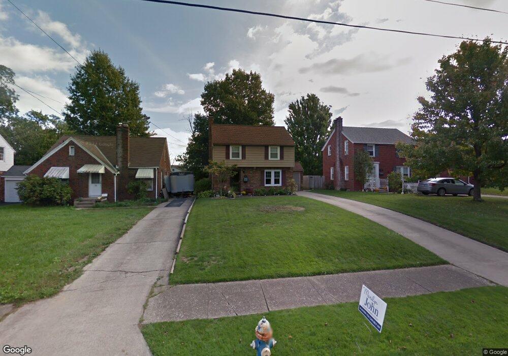
343 Bartley Ave Mansfield, OH 44903
Estimated Value: $115,528 - $140,000
3
Beds
1
Bath
1,274
Sq Ft
$97/Sq Ft
Est. Value
About This Home
This home is located at 343 Bartley Ave, Mansfield, OH 44903 and is currently estimated at $124,132, approximately $97 per square foot. 343 Bartley Ave is a home located in Richland County with nearby schools including Goal Digital Academy, Discovery School, and St. Peter's Elementary/Montessori School.
Ownership History
Date
Name
Owned For
Owner Type
Purchase Details
Closed on
May 27, 2011
Sold by
Yeater Janene A
Bought by
Hostettler Diana R
Current Estimated Value
Home Financials for this Owner
Home Financials are based on the most recent Mortgage that was taken out on this home.
Original Mortgage
$55,360
Interest Rate
4.81%
Mortgage Type
New Conventional
Purchase Details
Closed on
Mar 1, 1985
Create a Home Valuation Report for This Property
The Home Valuation Report is an in-depth analysis detailing your home's value as well as a comparison with similar homes in the area
Home Values in the Area
Average Home Value in this Area
Purchase History
| Date | Buyer | Sale Price | Title Company |
|---|---|---|---|
| Hostettler Diana R | $69,200 | Attorney | |
| -- | $40,000 | -- |
Source: Public Records
Mortgage History
| Date | Status | Borrower | Loan Amount |
|---|---|---|---|
| Previous Owner | Hostettler Diana R | $55,360 |
Source: Public Records
Tax History
| Year | Tax Paid | Tax Assessment Tax Assessment Total Assessment is a certain percentage of the fair market value that is determined by local assessors to be the total taxable value of land and additions on the property. | Land | Improvement |
|---|---|---|---|---|
| 2024 | $562 | $22,670 | $3,060 | $19,610 |
| 2023 | $603 | $22,670 | $3,060 | $19,610 |
| 2022 | $375 | $15,460 | $2,490 | $12,970 |
| 2021 | $378 | $15,460 | $2,490 | $12,970 |
| 2020 | $386 | $15,460 | $2,490 | $12,970 |
| 2019 | $428 | $15,460 | $2,490 | $12,970 |
| 2018 | $422 | $15,460 | $2,490 | $12,970 |
| 2017 | $695 | $15,460 | $2,490 | $12,970 |
| 2016 | $979 | $24,270 | $3,300 | $20,970 |
| 2015 | $979 | $24,270 | $3,300 | $20,970 |
| 2014 | $923 | $24,270 | $3,300 | $20,970 |
| 2012 | $579 | $25,550 | $3,480 | $22,070 |
Source: Public Records
Map
Nearby Homes
- 282 Vennum Ave
- 455 Marion Ave
- 487 Davey Ave
- 616 Cline Ave
- 341 Townview Cir N
- 310 Townview Cir N
- 158 Vennum Ave
- 189 Westwood Ave
- 679 Coleman Rd
- 0 Cline Ave Hedeen Abbeyfeale Unit 9066362
- 133 Stewart Ave S
- 456 Lexington Ave
- 466 Lexington Ave
- 470 Lexington Ave
- 151 Grover St
- 119 Carpenter Rd
- 116 Stewart Ave S
- 135 Wood St
- 108 Stewart Ave S
- 575 Crescent Rd
- 347 Bartley Ave
- 339 Bartley Ave
- 353 Bartley Ave
- 335 Bartley Ave
- 424 Sloane Ave
- 331 Bartley Ave
- 357 Bartley Ave
- 344 Poplar St
- 338 Poplar St
- 418 Sloane Ave
- 334 Poplar St
- 325 Bartley Ave
- 453 Forest St
- 348 Poplar St
- 330 Poplar St
- 334 Bartley Ave
- 356 Poplar St
- 356 Bartley Ave
- 321 Bartley Ave
- 326 Poplar St
Your Personal Tour Guide
Ask me questions while you tour the home.