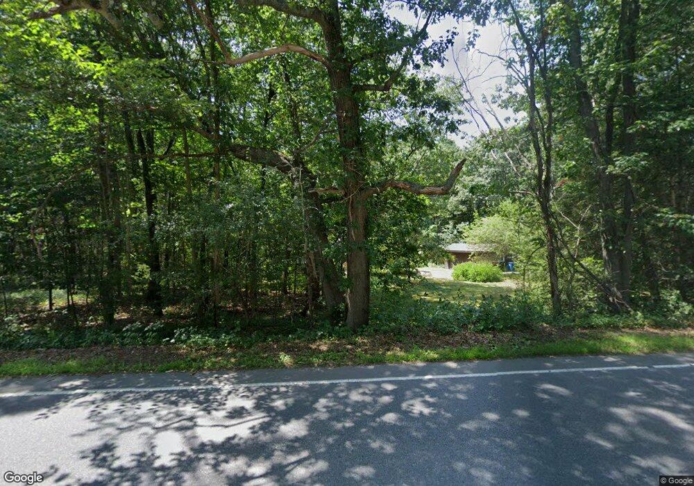
343 Maynard Rd Sudbury, MA 01776
Estimated Value: $825,560 - $1,095,000
3
Beds
3
Baths
1,647
Sq Ft
$591/Sq Ft
Est. Value
About This Home
This home is located at 343 Maynard Rd, Sudbury, MA 01776 and is currently estimated at $973,640, approximately $591 per square foot. 343 Maynard Rd is a home located in Middlesex County with nearby schools including General John Nixon Elementary School, Ephraim Curtis Middle School, and Lincoln-Sudbury Regional High School.
Ownership History
Date
Name
Owned For
Owner Type
Purchase Details
Closed on
Oct 29, 1985
Bought by
Atkins David W and Atkins Lynne E
Current Estimated Value
Create a Home Valuation Report for This Property
The Home Valuation Report is an in-depth analysis detailing your home's value as well as a comparison with similar homes in the area
Home Values in the Area
Average Home Value in this Area
Purchase History
| Date | Buyer | Sale Price | Title Company |
|---|---|---|---|
| Atkins David W | $192,000 | -- |
Source: Public Records
Mortgage History
| Date | Status | Borrower | Loan Amount |
|---|---|---|---|
| Open | Atkins David W | $48,000 | |
| Closed | Atkins David W | $175,600 | |
| Closed | Atkins David W | $172,500 |
Source: Public Records
Tax History
| Year | Tax Paid | Tax Assessment Tax Assessment Total Assessment is a certain percentage of the fair market value that is determined by local assessors to be the total taxable value of land and additions on the property. | Land | Improvement |
|---|---|---|---|---|
| 2025 | $9,889 | $675,500 | $464,600 | $210,900 |
| 2024 | $9,590 | $656,400 | $452,200 | $204,200 |
| 2023 | $9,590 | $608,100 | $414,600 | $193,500 |
| 2022 | $9,639 | $534,000 | $383,800 | $150,200 |
| 2021 | $9,697 | $515,000 | $383,800 | $131,200 |
| 2020 | $9,502 | $515,000 | $383,800 | $131,200 |
| 2019 | $9,224 | $515,000 | $383,800 | $131,200 |
| 2018 | $8,739 | $487,400 | $387,800 | $99,600 |
| 2017 | $8,247 | $464,900 | $375,800 | $89,100 |
| 2016 | $7,990 | $448,900 | $363,000 | $85,900 |
| 2015 | $7,543 | $428,600 | $347,800 | $80,800 |
| 2014 | $7,511 | $416,600 | $337,000 | $79,600 |
Source: Public Records
Map
Nearby Homes
- 55 Widow Rites Ln
- 45 Widow Rites Ln
- 45 Webster Cir
- 111 Willis Rd
- 11 October Rd
- 30 Harness Ln
- 15 Harness Ln
- 62 Churchill St
- 377 Willis Rd
- 557 Dutton Rd Unit 2
- 11 Great Lake Dr
- 57 Longfellow Rd
- 427 Concord Rd
- 53 Pine St
- 31-33 Roosevelt St
- 30 Kendall Rd
- 5 Hayes St Unit 5
- 13 Arthur St Unit 15
- 42 Dakin Rd
- 41 Taylor Rd
- 351 Maynard Rd
- 333 Maynard Rd
- 355 Maynard Rd
- 334 Maynard Rd
- 340 Maynard Rd
- 340 Maynard Rd
- 354 Maynard Rd
- 23 Cutting Ln
- 363 Maynard Rd
- 328 Maynard Rd
- 24 Cutting Ln Unit Lot 9
- 325 Maynard Rd
- Lot 10 Cutting Lane Number 22
- Lot 8 Cutting Ln
- 370 Maynard Rd
- 22 Cutting Ln Unit Lot 10
- 22 Cutting Ln
- 22 Cutting Ln
- 371 Maynard Rd
- 315 Maynard Rd
Your Personal Tour Guide
Ask me questions while you tour the home.