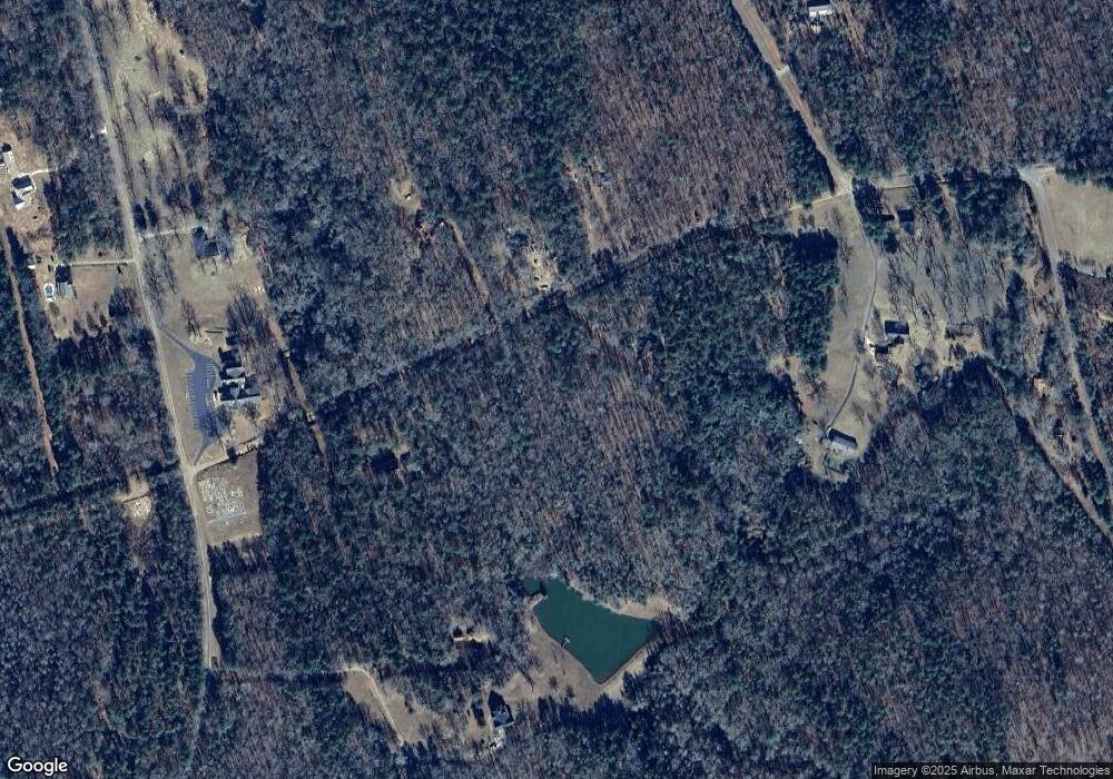
343 Means Rd Barnesville, GA 30204
Estimated Value: $301,000 - $400,000
5
Beds
3
Baths
2,061
Sq Ft
$177/Sq Ft
Est. Value
About This Home
This home is located at 343 Means Rd, Barnesville, GA 30204 and is currently estimated at $364,277, approximately $176 per square foot. 343 Means Rd is a home located in Lamar County with nearby schools including Lamar County Primary School, Lamar County Elementary School, and Lamar County Middle School.
Ownership History
Date
Name
Owned For
Owner Type
Purchase Details
Closed on
Mar 1, 1998
Sold by
Fowler Geo
Bought by
Larrabee Darryl C
Current Estimated Value
Create a Home Valuation Report for This Property
The Home Valuation Report is an in-depth analysis detailing your home's value as well as a comparison with similar homes in the area
Home Values in the Area
Average Home Value in this Area
Purchase History
| Date | Buyer | Sale Price | Title Company |
|---|---|---|---|
| Larrabee Darryl C | $32,000 | -- |
Source: Public Records
Tax History Compared to Growth
Tax History
| Year | Tax Paid | Tax Assessment Tax Assessment Total Assessment is a certain percentage of the fair market value that is determined by local assessors to be the total taxable value of land and additions on the property. | Land | Improvement |
|---|---|---|---|---|
| 2025 | $3,075 | $145,113 | $29,251 | $115,862 |
| 2024 | $3,075 | $122,045 | $29,251 | $92,794 |
| 2023 | $3,127 | $115,171 | $29,251 | $85,920 |
| 2022 | $2,595 | $95,903 | $18,923 | $76,980 |
| 2021 | $2,010 | $68,758 | $14,192 | $54,566 |
| 2020 | $2,116 | $68,758 | $14,192 | $54,566 |
| 2019 | $2,122 | $68,758 | $14,192 | $54,566 |
| 2018 | $2,037 | $68,758 | $14,192 | $54,566 |
| 2017 | $2,027 | $68,758 | $14,192 | $54,566 |
| 2016 | $2,027 | $68,758 | $14,192 | $54,566 |
| 2015 | $2,021 | $68,759 | $14,192 | $54,566 |
| 2014 | $1,959 | $68,759 | $14,192 | $54,566 |
| 2013 | -- | $68,758 | $14,192 | $54,566 |
Source: Public Records
Map
Nearby Homes
- 144 Means Rd
- 202 Community House Rd
- 208 Community House Rd
- 0 Ramah Church Rd Unit 10480661
- 0 Ramah Church Rd Unit 7542675
- 342 Ramah Church Rd
- TRACT 9 Ramah Church Rd Unit 9
- TRACT 6 Ramah Church Rd Unit 6
- 305 Zellner Rd
- 284 Community House Rd
- 355 Dumas Rd
- 272 Community House Rd
- 1904 U S 341
- 1721 Old Zebulon Rd
- 325 Parks Rd
- 301 Parks Rd
- 1505 Willis Rd
- 293 AC Hopewell Rd
- 0 Coffey Rd Unit 10571841
- 187 Coffey Rd
- 340 Means Rd
- 167 Clements Ford Rd
- 336 Means Rd
- 169 Clements Ford Rd
- 335 Means Rd
- 171 Clements Ford Rd
- 133 Clements Ford Rd
- 152 Clements Ford Rd
- 1290 Ramah Church Rd
- 125 Tharpe Rd
- 1274 Ramah Church Rd
- 110 Tharpe Rd
- 1271 Ramah Church Rd
- 1218 Ramah Church Rd
- 869 Community House Rd
- 847 Community House Rd
- 1237 Ramah Church Rd
- 846 Community House Rd
- 1227 Ramah Church Rd
- 170 Tharpe Rd
