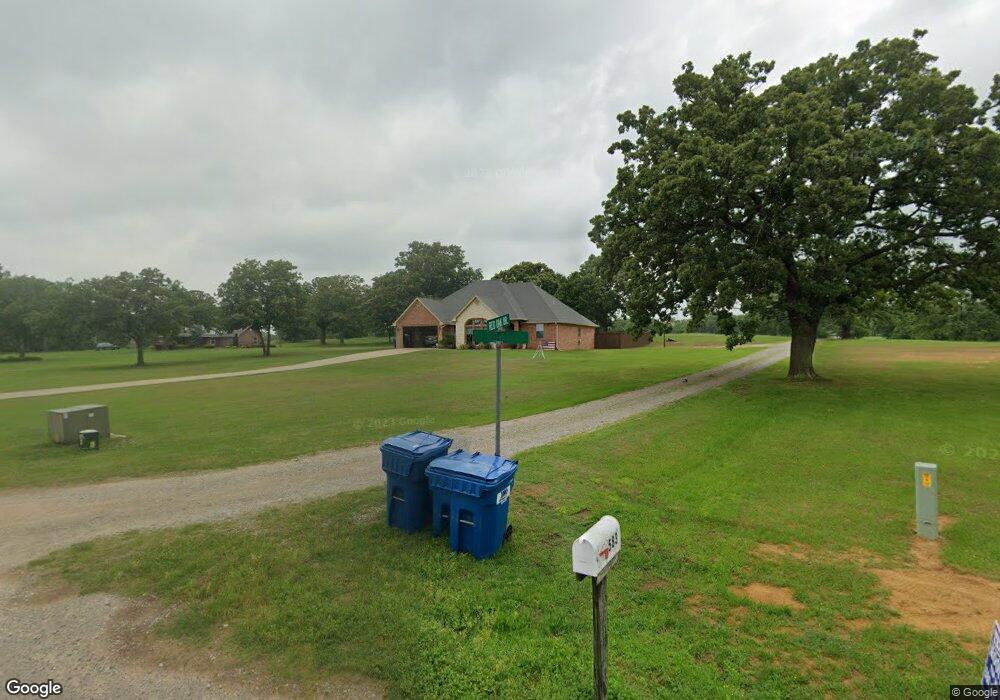
343 Red Oak Dr Durant, OK 74701
Estimated Value: $329,000 - $365,358
3
Beds
2
Baths
1,799
Sq Ft
$195/Sq Ft
Est. Value
About This Home
This home is located at 343 Red Oak Dr, Durant, OK 74701 and is currently estimated at $350,340, approximately $194 per square foot. 343 Red Oak Dr is a home located in Bryan County with nearby schools including Silo Early Childhood Center, Silo Elementary School, and Silo Middle School.
Ownership History
Date
Name
Owned For
Owner Type
Purchase Details
Closed on
Nov 10, 2022
Sold by
Carter Claire and Carter William
Bought by
Mayhew Calvin and Mayhew Retha
Current Estimated Value
Purchase Details
Closed on
May 12, 2022
Sold by
Hall Marc A and Hall Stephanie
Bought by
Mayhew Calvin and Mayhew Retha
Home Financials for this Owner
Home Financials are based on the most recent Mortgage that was taken out on this home.
Original Mortgage
$120,000
Interest Rate
5.3%
Mortgage Type
New Conventional
Purchase Details
Closed on
Jul 7, 2005
Sold by
Tate Tom and Tate Maricel
Bought by
Hall Marc A
Create a Home Valuation Report for This Property
The Home Valuation Report is an in-depth analysis detailing your home's value as well as a comparison with similar homes in the area
Purchase History
| Date | Buyer | Sale Price | Title Company |
|---|---|---|---|
| Mayhew Calvin | $33,500 | -- | |
| Mayhew Calvin | $360,000 | First American Title | |
| Hall Marc A | $17,500 | None Available |
Source: Public Records
Mortgage History
| Date | Status | Borrower | Loan Amount |
|---|---|---|---|
| Previous Owner | Mayhew Calvin | $120,000 |
Source: Public Records
Tax History
| Year | Tax Paid | Tax Assessment Tax Assessment Total Assessment is a certain percentage of the fair market value that is determined by local assessors to be the total taxable value of land and additions on the property. | Land | Improvement |
|---|---|---|---|---|
| 2025 | $2,993 | $35,958 | $3,300 | $32,658 |
| 2024 | $3,001 | $36,466 | $3,300 | $33,166 |
| 2023 | $3,001 | $39,600 | $3,300 | $36,300 |
| 2022 | $1,805 | $22,316 | $3,197 | $19,119 |
| 2021 | $1,707 | $21,666 | $3,044 | $18,622 |
| 2020 | $1,663 | $21,036 | $2,895 | $18,141 |
| 2019 | $1,638 | $20,422 | $2,750 | $17,672 |
| 2018 | $1,594 | $19,828 | $2,750 | $17,078 |
| 2017 | $1,344 | $19,250 | $2,750 | $16,500 |
| 2016 | $1,336 | $19,136 | $1,925 | $17,211 |
| 2015 | $1,336 | $19,136 | $1,925 | $17,211 |
| 2014 | $1,335 | $19,136 | $1,925 | $17,211 |
Source: Public Records
Map
Nearby Homes
- 113 Fairway Dr
- 18 Sandwedge
- 20 Blake Ln
- 19 Blake Ln
- 203 Red Oak Dr
- 106 Santa Monica Ave
- 95 Huntington Beach St
- 45 Aspen Cir
- 46 Aspen Cir
- 95 Maple Leaf Dr
- 83 Maple Leaf Dr
- 93 Maple Leaf Dr
- 94 Maple Leaf Dr
- 97 Maple Leaf Dr
- 84 Maple Leaf Dr
- 96 Maple Leaf Dr
- 5110 Valley View Dr
- 007 Swan Ln
- 48 Royal Oak Dr
- 47 Royal Oak Dr
Your Personal Tour Guide
Ask me questions while you tour the home.