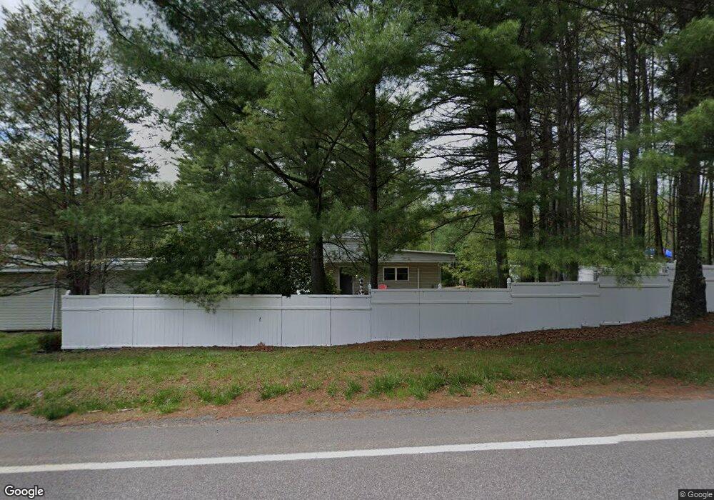
343 Route 507 Tafton, PA 18464
Estimated Value: $407,935 - $498,000
3
Beds
1
Bath
2,100
Sq Ft
$216/Sq Ft
Est. Value
About This Home
This home is located at 343 Route 507, Tafton, PA 18464 and is currently estimated at $452,968, approximately $215 per square foot. 343 Route 507 is a home with nearby schools including Wallenpaupack Area High School and Son-Shine Christian School.
Ownership History
Date
Name
Owned For
Owner Type
Purchase Details
Closed on
Dec 21, 2016
Sold by
The Dime Bank
Bought by
345 Route 507 Llc
Current Estimated Value
Home Financials for this Owner
Home Financials are based on the most recent Mortgage that was taken out on this home.
Original Mortgage
$253,000
Outstanding Balance
$206,897
Interest Rate
3.94%
Mortgage Type
Seller Take Back
Estimated Equity
$246,071
Purchase Details
Closed on
Jul 6, 2016
Sold by
Huber Clair W and Huber Sheila S
Bought by
The Dime Bank
Create a Home Valuation Report for This Property
The Home Valuation Report is an in-depth analysis detailing your home's value as well as a comparison with similar homes in the area
Home Values in the Area
Average Home Value in this Area
Purchase History
| Date | Buyer | Sale Price | Title Company |
|---|---|---|---|
| 345 Route 507 Llc | $317,000 | Fidelity Natl Title Ins Co | |
| The Dime Bank | $7,079 | None Available |
Source: Public Records
Mortgage History
| Date | Status | Borrower | Loan Amount |
|---|---|---|---|
| Open | 345 Route 507 Llc | $253,000 |
Source: Public Records
Tax History Compared to Growth
Tax History
| Year | Tax Paid | Tax Assessment Tax Assessment Total Assessment is a certain percentage of the fair market value that is determined by local assessors to be the total taxable value of land and additions on the property. | Land | Improvement |
|---|---|---|---|---|
| 2025 | $3,859 | $34,550 | $3,220 | $31,330 |
| 2024 | $3,859 | $34,550 | $3,220 | $31,330 |
| 2023 | $3,712 | $34,550 | $3,220 | $31,330 |
| 2022 | $3,626 | $34,550 | $3,220 | $31,330 |
| 2021 | $3,522 | $34,550 | $3,220 | $31,330 |
| 2020 | $3,522 | $34,550 | $3,220 | $31,330 |
| 2019 | $3,408 | $34,550 | $3,220 | $31,330 |
| 2018 | $3,317 | $34,550 | $3,220 | $31,330 |
| 2017 | $3,193 | $34,550 | $3,220 | $31,330 |
| 2016 | -- | $34,550 | $3,220 | $31,330 |
| 2014 | -- | $34,550 | $3,220 | $31,330 |
Source: Public Records
Map
Nearby Homes
- 115 Deer Path
- 105 Marquise Dr
- Lot 44 Ripplewood Dr
- Lot 43 Ripplewood Dr
- Lot 42 Ripplewood Dr
- 126 N Colony Cove Rd
- 108 Cabels Crossing
- 129 Timber Ln
- Lot 45 Soose Way
- 106 Cardinal Ln
- 182 Soose Way
- 115 Dirk Rd
- 132 Spruce Rd
- 128 Lynns Hill Rd
- 102 Lake Shore Dr
- 0 Pennsylvania 507
- 143 Marquise Dr
- 108 Old Shore Rd
- Lot 219 Sunny Side Rd
- 217 Upper Park Rd
- 345 Pennsylvania 507
- 0 Pa-507 Unit PWB224374
- 0 Pa-507
- Lot 1 Billy Ln
- 36 Boat Shop Rd
- 104 Lake Mode Dr
- 101 Deer Path
- 103 Marquise Dr
- 113 Deer Path
- 113 Deer Path
- 113 Deer Path
- 104 Deer Path
- 103 Lake Mode Dr
- 8 Deer Path
- 112 N Colony Cove Rd
- 110 Deer Path
- 100 Lake Mode Dr
- 6 Deer Path
- 112 Deer Path
- 102 Marquise Dr