343 Sfc 409 Forrest City, AR 72335
Estimated Value: $57,651 - $133,000
--
Bed
1
Bath
1,146
Sq Ft
$75/Sq Ft
Est. Value
About This Home
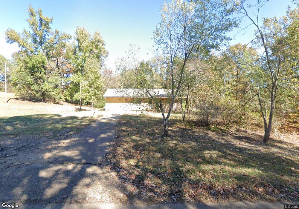
This home is located at 343 Sfc 409, Forrest City, AR 72335 and is currently estimated at $86,163, approximately $75 per square foot. 343 Sfc 409 is a home located in St. Francis County with nearby schools including Central Elementary School, Stewart Elementary School, and Forrest City Junior High School.
Ownership History
Date
Name
Owned For
Owner Type
Purchase Details
Closed on
Jul 31, 2024
Sold by
Heard Nicholas Ashton and Mabry Elizabeth
Bought by
Heard Alvin and Heard Natalie
Current Estimated Value
Purchase Details
Closed on
Jun 5, 2023
Sold by
Commissioner Of State Lands
Bought by
Heard Nicholas Ashton
Purchase Details
Closed on
Apr 29, 2019
Sold by
Dooley Richard W and Dooley Margarette Marie
Bought by
Heard Ashton
Purchase Details
Closed on
Dec 21, 2009
Sold by
Mclaughlin Sherry
Bought by
Dooley Richard W and Dooley Margaret Marie
Purchase Details
Closed on
Dec 7, 2000
Sold by
Not Provided
Bought by
Mclaughlin Sherry
Create a Home Valuation Report for This Property
The Home Valuation Report is an in-depth analysis detailing your home's value as well as a comparison with similar homes in the area
Home Values in the Area
Average Home Value in this Area
Purchase History
| Date | Buyer | Sale Price | Title Company |
|---|---|---|---|
| Heard Alvin | $90,000 | Cowling Title | |
| Heard Nicholas Ashton | $565 | None Listed On Document | |
| Heard Ashton | $27,000 | Cowling Title Company | |
| Dooley Richard W | $15,000 | None Available | |
| Mclaughlin Sherry | $23,000 | -- |
Source: Public Records
Tax History Compared to Growth
Tax History
| Year | Tax Paid | Tax Assessment Tax Assessment Total Assessment is a certain percentage of the fair market value that is determined by local assessors to be the total taxable value of land and additions on the property. | Land | Improvement |
|---|---|---|---|---|
| 2024 | $155 | $3,900 | $1,400 | $2,500 |
| 2023 | $152 | $3,500 | $1,400 | $2,100 |
| 2022 | $136 | $3,500 | $1,400 | $2,100 |
| 2021 | $134 | $3,430 | $1,200 | $2,230 |
| 2020 | $134 | $3,430 | $1,200 | $2,230 |
| 2019 | $137 | $3,430 | $1,200 | $2,230 |
| 2018 | $137 | $10,310 | $1,200 | $9,110 |
| 2017 | $410 | $10,310 | $1,200 | $9,110 |
| 2016 | $398 | $10,010 | $1,450 | $8,560 |
| 2015 | $398 | $10,010 | $1,450 | $8,560 |
| 2014 | $398 | $10,010 | $1,450 | $8,560 |
Source: Public Records
Map
Nearby Homes
- 533 Sfc 311
- 802 Sfc 328
- 30+\- Acres Sfc 328
- 192 Sfc 322
- 481 Sfc 333
- 0 N Washington St
- 4.59 Acres N Washington St
- 917 Calvert Cove
- 361 Yorktown Dr
- 2 Ridgewood Ln
- 220 Lexington Dr
- 1255 Chestnut St
- 308 Trenton Rd
- 319 Mississippi St
- 1216 N Izard St
- 1108 N Izard St
- 189 Tallwood St
- 1030 N Izard St
- 105 Elm Ave
- 423 Laughrun Dr
- 235 Sfc 409
- 226 Sfc 409
- 481 Sfc 409
- 114 Sfc 409
- 54 Sfc 409
- 3534 Highway 284
- 3356 Highway 284
- 3608 Highway 284
- 1010 Newcastle Rd
- 3417 Highway 284
- 3465 Highway 284
- 3299 Highway 284
- 3910 Highway 284
- 3910 Highway 284
- 3170 Highway 284
- 3068 Highway 284
- 3068 Highway 284
- 3169 Highway 284
- 3912 Highway 284
- 3993 Highway 284