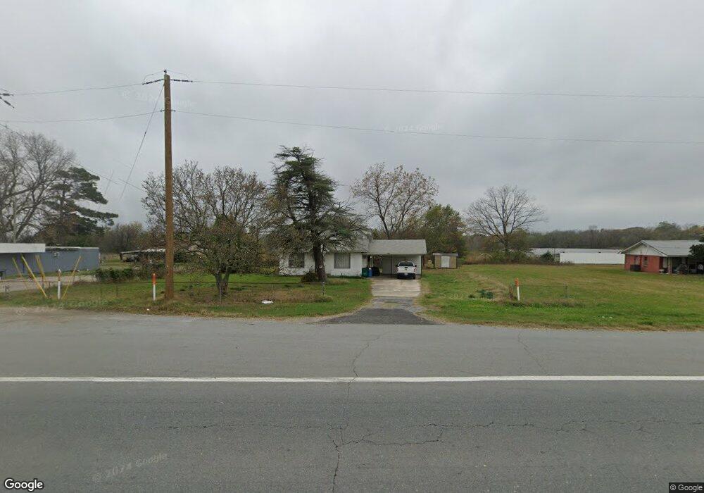
3430 Highway 65 S Pine Bluff, AR 71601
Estimated Value: $85,086 - $125,000
Studio
1
Bath
1,313
Sq Ft
$78/Sq Ft
Est. Value
About This Home
This home is located at 3430 Highway 65 S, Pine Bluff, AR 71601 and is currently estimated at $102,772, approximately $78 per square foot. 3430 Highway 65 S is a home located in Jefferson County with nearby schools including Matthews Elementary School, Dollarway High School, and Hope Academy.
Ownership History
Date
Name
Owned For
Owner Type
Purchase Details
Closed on
Sep 30, 2013
Sold by
Salvestrini Angie and Barthet Dorothy
Bought by
Salvestrini Angie and Barthet Dorothy
Current Estimated Value
Purchase Details
Closed on
Apr 5, 2005
Sold by
Salvestrini Angie and Salvestrini Joseph Louis
Bought by
Salvestrini Angie and Barthet Dorothy
Purchase Details
Closed on
May 19, 1987
Bought by
Salvestrini Angie
Purchase Details
Closed on
Apr 17, 1987
Bought by
Salvestrini Angie and Salvestrini Husb
Purchase Details
Closed on
Mar 16, 1987
Bought by
Salvestrini Angie
Create a Home Valuation Report for This Property
The Home Valuation Report is an in-depth analysis detailing your home's value as well as a comparison with similar homes in the area
Purchase History
| Date | Buyer | Sale Price | Title Company |
|---|---|---|---|
| Salvestrini Angie | -- | -- | |
| Salvestrini Angie | -- | -- | |
| Salvestrini Angie | -- | -- | |
| Salvestrini Angie | -- | -- | |
| Salvestrini Angie | -- | -- |
Source: Public Records
Tax History
| Year | Tax Paid | Tax Assessment Tax Assessment Total Assessment is a certain percentage of the fair market value that is determined by local assessors to be the total taxable value of land and additions on the property. | Land | Improvement |
|---|---|---|---|---|
| 2025 | $783 | $12,000 | $3,590 | $8,410 |
| 2024 | $732 | $12,000 | $3,590 | $8,410 |
| 2023 | $672 | $12,000 | $3,590 | $8,410 |
| 2022 | $558 | $8,950 | $3,930 | $5,020 |
| 2021 | $558 | $8,950 | $3,930 | $5,020 |
| 2020 | $558 | $8,950 | $3,930 | $5,020 |
| 2019 | $156 | $8,950 | $3,930 | $5,020 |
| 2018 | $172 | $8,950 | $3,930 | $5,020 |
| 2017 | $181 | $9,720 | $3,970 | $5,750 |
| 2016 | $181 | $9,720 | $3,970 | $5,750 |
| 2015 | $156 | $9,720 | $3,970 | $5,750 |
| 2014 | -- | $9,720 | $3,970 | $5,750 |
Source: Public Records
Map
Nearby Homes
- 3407 U S 65
- Tract G Osborn Rd
- Tract C Osborn Rd
- Tract B Osborn Rd
- 00 Osborn Rd
- Tract F Osborn Rd
- 4300 S Hwy 65
- 0 U S 79
- 1902 E 38th Ave
- 000 E 38th Ave
- 2810 Claremont Ave
- 2713 Claremont Ave
- 1500 E 42nd Ave
- 1503 Collins Dr
- 820 S Ohio St
- 0 NE Corner Hwy 65 425-81
- 1309 Bailey Dr
- 1401 Ashley Dr
- 000 S 65 Hwy
- 00
- 3426 Highway 65 S
- 3434 Highway 65 S
- 3432 Highway 65 S
- 104 Grider Field Ladd Rd
- 112 Griderfield Rd
- 3407 Highway 65 S
- 3423 Highway 65 S
- 3500 Highway 65 S
- 3500 U S 65
- 3419 Us-65
- 3419 S 65 Hwy
- 3420 Highway 65 S
- 202 Grider Field Ladd Rd
- 3408 Highway 65 S
- 3621 Highway 65 S
- 3625 Highway 65 S
- 3625 Hwy 65 S
- S Hwy 65
- 407 Osborn Rd
- 3705 Highway 65 S
Your Personal Tour Guide
Ask me questions while you tour the home.