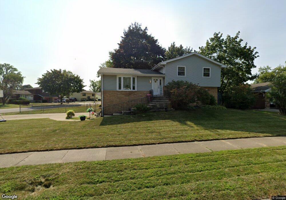
3430 Newcastle Rd Waukegan, IL 60087
Estimated Value: $275,000 - $293,000
3
Beds
3
Baths
1,248
Sq Ft
$225/Sq Ft
Est. Value
About This Home
This home is located at 3430 Newcastle Rd, Waukegan, IL 60087 and is currently estimated at $281,122, approximately $225 per square foot. 3430 Newcastle Rd is a home located in Lake County with nearby schools including H R McCall Elementary School, Jack Benny Middle School, and Waukegan High School.
Ownership History
Date
Name
Owned For
Owner Type
Purchase Details
Closed on
Jul 23, 1997
Sold by
Hessenthaler James W and Hessenthaler Sharon R
Bought by
Tico Allan P and Tico Maria Luisa
Current Estimated Value
Home Financials for this Owner
Home Financials are based on the most recent Mortgage that was taken out on this home.
Original Mortgage
$112,950
Outstanding Balance
$16,632
Interest Rate
7.81%
Estimated Equity
$264,490
Create a Home Valuation Report for This Property
The Home Valuation Report is an in-depth analysis detailing your home's value as well as a comparison with similar homes in the area
Home Values in the Area
Average Home Value in this Area
Purchase History
| Date | Buyer | Sale Price | Title Company |
|---|---|---|---|
| Tico Allan P | $79,333 | Chicago Title Insurance Co |
Source: Public Records
Mortgage History
| Date | Status | Borrower | Loan Amount |
|---|---|---|---|
| Open | Tico Allan P | $112,950 |
Source: Public Records
Tax History Compared to Growth
Tax History
| Year | Tax Paid | Tax Assessment Tax Assessment Total Assessment is a certain percentage of the fair market value that is determined by local assessors to be the total taxable value of land and additions on the property. | Land | Improvement |
|---|---|---|---|---|
| 2024 | $6,049 | $75,507 | $8,139 | $67,368 |
| 2023 | $5,886 | $72,890 | $7,857 | $65,033 |
| 2022 | $5,886 | $66,935 | $7,680 | $59,255 |
| 2021 | $5,065 | $55,211 | $7,485 | $47,726 |
| 2020 | $5,219 | $52,687 | $7,143 | $45,544 |
| 2019 | $5,408 | $49,988 | $6,777 | $43,211 |
| 2018 | $4,919 | $43,707 | $8,139 | $35,568 |
| 2017 | $4,911 | $41,117 | $7,657 | $33,460 |
| 2016 | $5,028 | $39,145 | $7,290 | $31,855 |
| 2015 | $4,957 | $35,900 | $6,686 | $29,214 |
| 2014 | $5,635 | $41,209 | $9,134 | $32,075 |
| 2012 | $6,495 | $42,824 | $9,492 | $33,332 |
Source: Public Records
Map
Nearby Homes
- 37966 N Cornell Rd
- 1730 W Beach Rd
- 3101 Country Club Ln
- 11471 W Leland Ave
- 1342 Anthony Ct
- 1636 Rice St
- 3810 Cedar Ave
- 38169 N North Shore Ave
- 38362 N Manor Ave
- 11345 W Carnahan Ave
- 38697 N Cedar Ave
- 37905 N Loyola Ave
- 1113 Tewes Ln
- 38119 N Wilson Ave
- 10867 W Beach Rd
- 11342-11364 W Wadsworth Rd
- 2613 N Lewis Ave
- 12312 W Audrey Ave
- 38859 N Green Bay Rd
- 38383 N Tewes Ct
- 3436 Newcastle Rd
- 2116 Herbert Dr
- 3427 Newcastle Rd
- 3431 Newcastle Rd
- 3435 Newcastle Rd
- 3440 Newcastle Rd
- 2105 Herbert Dr
- 3410 Newcastle Rd
- 2120 Herbert Dr Unit 2
- 3439 Newcastle Rd
- 2109 Herbert Dr
- 2113 Herbert Dr
- 2034 Herbert Dr
- 3443 Newcastle Rd
- 3434 Rock Pkwy
- 3438 Rock Pkwy
- 2200 Herbert Dr
- 3415 Newcastle Rd
- 2117 Herbert Dr
- 3439 Lorene Ct