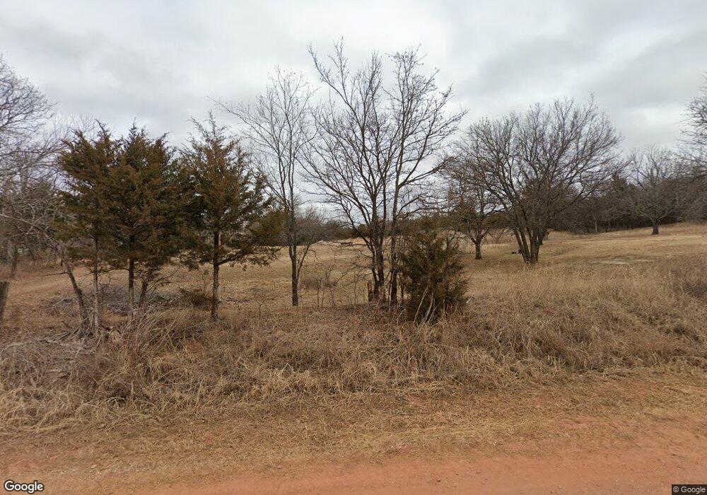
343064 E 1020 Rd Meeker, OK 74855
Estimated Value: $47,000 - $49,000
--
Bed
2
Baths
--
Sq Ft
3
Acres
About This Home
This home is located at 343064 E 1020 Rd, Meeker, OK 74855 and is currently estimated at $48,083. 343064 E 1020 Rd is a home located in Lincoln County with nearby schools including Meeker Elementary School, Meeker Middle School, and Meeker High School.
Ownership History
Date
Name
Owned For
Owner Type
Purchase Details
Closed on
May 16, 2025
Sold by
Childress Morna M
Bought by
Starner David R
Current Estimated Value
Purchase Details
Closed on
May 5, 2021
Sold by
Carroll Kadden P and Carroll Phillip P
Bought by
Wenzel Taylor and Wenzel Kendra
Home Financials for this Owner
Home Financials are based on the most recent Mortgage that was taken out on this home.
Original Mortgage
$52,000
Interest Rate
3.1%
Mortgage Type
New Conventional
Purchase Details
Closed on
Dec 11, 2017
Sold by
Childress William D and Childress Morna M
Bought by
Childress Willaim D and Childress Morna M
Purchase Details
Closed on
May 19, 1993
Sold by
Childress Bertha C and Childress Jesse
Bought by
Childress Bertha C and Childress Willi
Create a Home Valuation Report for This Property
The Home Valuation Report is an in-depth analysis detailing your home's value as well as a comparison with similar homes in the area
Home Values in the Area
Average Home Value in this Area
Purchase History
| Date | Buyer | Sale Price | Title Company |
|---|---|---|---|
| Starner David R | $48,000 | Fidelity National Title | |
| Starner David R | $48,000 | Fidelity National Title | |
| Wenzel Taylor | $65,000 | American Eagle Title | |
| Childress Willaim D | -- | None Available | |
| Childress Bertha C | -- | -- |
Source: Public Records
Mortgage History
| Date | Status | Borrower | Loan Amount |
|---|---|---|---|
| Previous Owner | Wenzel Taylor | $52,000 |
Source: Public Records
Tax History Compared to Growth
Tax History
| Year | Tax Paid | Tax Assessment Tax Assessment Total Assessment is a certain percentage of the fair market value that is determined by local assessors to be the total taxable value of land and additions on the property. | Land | Improvement |
|---|---|---|---|---|
| 2024 | $163 | $1,949 | $0 | $0 |
| 2023 | $163 | $2,177 | $2,177 | $0 |
| 2022 | $149 | $1,857 | $1,857 | $0 |
| 2021 | $144 | $1,768 | $1,768 | $0 |
| 2020 | $138 | $1,684 | $1,684 | $0 |
| 2019 | $200 | $2,411 | $2,246 | $165 |
| 2018 | $203 | $2,452 | $1,921 | $531 |
| 2017 | $28 | $2,335 | $507 | $1,828 |
| 2016 | $28 | $2,335 | $594 | $1,741 |
| 2015 | $28 | $2,335 | $594 | $1,741 |
| 2014 | $29 | $2,335 | $594 | $1,741 |
Source: Public Records
Map
Nearby Homes
- 101846 S Shannon Dr
- 000 E Tract 2 Hwy 18 & 1025 Rd
- 000 N Tract 3 Hwy 18 & 1025 Rd
- 0000 E Tract 4 Hwy 18 & 1025 Ramp
- 000 E Tract 5 Hwy 18 & 1025 Rd
- 0000 E Tract 6 Hwy 18 & 1025 Rd
- 101809 S 3413 Rd
- 341242 E 1020 Rd
- 0 3410 Rd
- 101 Gatlin Dr
- 0 N St Unit 1143951
- 103588 S 3414 Rd
- 331 W Carl Hubbell Blvd
- Meeker- Shawnee
- Meeker Shawnee
- 28 Bonnie Sue Ave
- 122 Decker St
- 209 S Dawson St
- 341530 E 1000 Rd
- 990026 3430 Rd
- 0 Hwy 18 & E 1020 Rd Tract 2 Unit 1111589
- 0 Hwy 18 & E 1020 Rd Tract 3 Unit 1111586
- 0 Hwy 18 & E 1020 Rd Tract 4 Unit 1111584
- 0 Hwy 18 & E 1020 Rd Tract 6 Unit 1111522
- 0 Hwy 18 & E 1020 Rd Tract 6 Unit 1083647
- 0 Hwy 18 & E 1020 Rd Tract 3 Unit 1083641
- 0 Hwy 18 & E 1020 Rd Tract 4 Unit 1083643
- 0 Hwy 18 & E 1020 Rd Tract 5 Unit 1083644
- 0 Hwy 18 & E 1020 Rd Tract 2 Unit 1083649
- 0 Ok-18 & E1020 Rd Unit 986672
- 342950 E 1020 Rd
- 343129 E 1020 Rd
- 343226 E 1020 Rd
- 101736 S Highway 18
- 102199 S Highway 18
- 342890 E 1020 Rd
- 343205 E 1020 Rd
- 101972 Shannon Dr
- 343414 E 1020 Rd
- 101814 Shannon Dr
