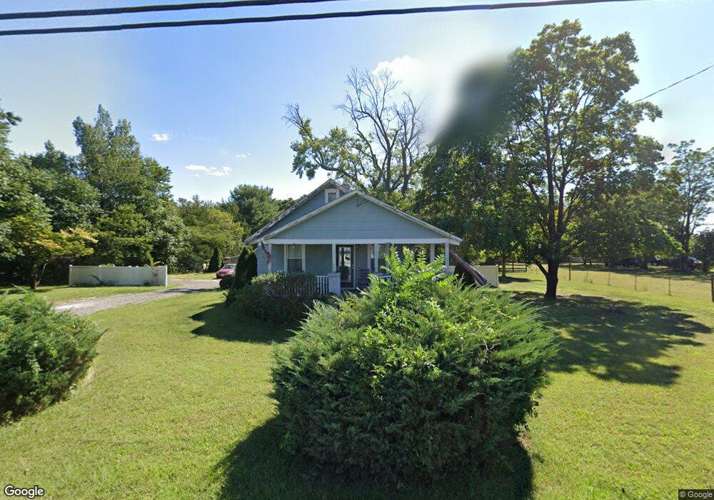
3431 Nesco Rd Hammonton, NJ 08037
Estimated Value: $286,878 - $396,000
Studio
--
Bath
1,024
Sq Ft
$329/Sq Ft
Est. Value
About This Home
This home is located at 3431 Nesco Rd, Hammonton, NJ 08037 and is currently estimated at $336,720, approximately $328 per square foot. 3431 Nesco Rd is a home located in Atlantic County with nearby schools including Mullica Township Primary School, Mullica Township Elementary & Middle School, and Cedar Creek High School.
Ownership History
Date
Name
Owned For
Owner Type
Purchase Details
Closed on
Apr 13, 2010
Sold by
Douglass Florence Dale Milligan and Douglass Robert
Bought by
Umosella Dawn
Current Estimated Value
Purchase Details
Closed on
Nov 10, 2008
Sold by
Rooks Nathan T and Rooks Renee D
Bought by
Dale Milligan Florence
Purchase Details
Closed on
Mar 31, 2004
Sold by
King Lynn J
Bought by
Rooks Nathan T and Rooks Renee D
Home Financials for this Owner
Home Financials are based on the most recent Mortgage that was taken out on this home.
Original Mortgage
$100,000
Interest Rate
5.94%
Mortgage Type
Purchase Money Mortgage
Purchase Details
Closed on
Jan 30, 2003
Sold by
Sheain Frances
Bought by
King Lynn
Create a Home Valuation Report for This Property
The Home Valuation Report is an in-depth analysis detailing your home's value as well as a comparison with similar homes in the area
Home Values in the Area
Average Home Value in this Area
Purchase History
| Date | Buyer | Sale Price | Title Company |
|---|---|---|---|
| Umosella Dawn | -- | None Available | |
| Dale Milligan Florence | $200,000 | Landis Title Corporation | |
| Rooks Nathan T | $135,000 | Landis Title Corporation | |
| King Lynn | -- | -- | |
| King Lynn J | -- | -- |
Source: Public Records
Mortgage History
| Date | Status | Borrower | Loan Amount |
|---|---|---|---|
| Previous Owner | Rooks Nathan T | $100,000 |
Source: Public Records
Tax History
| Year | Tax Paid | Tax Assessment Tax Assessment Total Assessment is a certain percentage of the fair market value that is determined by local assessors to be the total taxable value of land and additions on the property. | Land | Improvement |
|---|---|---|---|---|
| 2025 | $4,512 | $125,400 | $34,400 | $91,000 |
| 2024 | $4,512 | $125,400 | $34,400 | $91,000 |
Source: Public Records
Map
Nearby Homes
- 3100 Neil Rd
- 3502 Richards Ave
- 4528 Indian Cabin Terrace
- 615 S White Horse Pike
- 557 S White Horse Pike
- 4649 N Black Oak Cir
- 1159 Moss Mill Rd
- 1352 White Oak Cir
- 1224 Elwood Rd
- 4108 W Adams Cir
- 415 S White Horse Pike
- 4138 W Adams Cir
- 926 Central Ave
- 541 Wharton Park Blvd
- 547 Wharton Park Blvd
- 4160 Anna Dr
- 4832 Pleasant Mills Rd
- 551 Wharton Park Blvd
- 4179 E Adams Cir
- 4166 Anna Dr
Your Personal Tour Guide
Ask me questions while you tour the home.