3431 Sands Harbor Trace Unit 105 Pompano Beach, FL 33069
Palm Aire NeighborhoodEstimated Value: $517,142 - $673,000
--
Bed
--
Bath
2,205
Sq Ft
$267/Sq Ft
Est. Value
About This Home
This home is located at 3431 Sands Harbor Trace Unit 105, Pompano Beach, FL 33069 and is currently estimated at $588,286, approximately $266 per square foot. 3431 Sands Harbor Trace Unit 105 is a home located in Broward County with nearby schools including Cypress Elementary School, Pompano Beach Middle School, and Blanche Ely High School.
Ownership History
Date
Name
Owned For
Owner Type
Purchase Details
Closed on
Mar 1, 2016
Bought by
J George
Current Estimated Value
Purchase Details
Closed on
Oct 21, 1997
Sold by
Jay C And Jacquelyn L Maxson
Bought by
Adelwerth George J and Nigrelli Thomas N
Purchase Details
Closed on
Mar 31, 1995
Sold by
Centex Real Est Corp
Bought by
Maxson Jay C and Maxson Jacquelyn L
Home Financials for this Owner
Home Financials are based on the most recent Mortgage that was taken out on this home.
Original Mortgage
$95,100
Interest Rate
8.7%
Create a Home Valuation Report for This Property
The Home Valuation Report is an in-depth analysis detailing your home's value as well as a comparison with similar homes in the area
Home Values in the Area
Average Home Value in this Area
Purchase History
| Date | Buyer | Sale Price | Title Company |
|---|---|---|---|
| J George | $100 | -- | |
| Adelwerth George J | -- | Attorney | |
| Adelwerth George J | $166,000 | -- | |
| Maxson Jay C | $169,300 | -- |
Source: Public Records
Mortgage History
| Date | Status | Borrower | Loan Amount |
|---|---|---|---|
| Previous Owner | Maxson Jay C | $95,100 |
Source: Public Records
Tax History Compared to Growth
Tax History
| Year | Tax Paid | Tax Assessment Tax Assessment Total Assessment is a certain percentage of the fair market value that is determined by local assessors to be the total taxable value of land and additions on the property. | Land | Improvement |
|---|---|---|---|---|
| 2025 | $3,923 | $223,430 | -- | -- |
| 2024 | $3,851 | $217,140 | -- | -- |
| 2023 | $3,851 | $210,820 | $0 | $0 |
| 2022 | $3,592 | $204,680 | $0 | $0 |
| 2021 | $3,458 | $198,720 | $0 | $0 |
| 2020 | $3,352 | $195,980 | $0 | $0 |
| 2019 | $3,291 | $191,580 | $0 | $0 |
| 2018 | $3,158 | $188,010 | $0 | $0 |
| 2017 | $2,996 | $184,150 | $0 | $0 |
| 2016 | $2,943 | $180,370 | $0 | $0 |
| 2015 | $3,018 | $179,120 | $0 | $0 |
| 2014 | $3,006 | $177,700 | $0 | $0 |
| 2013 | -- | $186,160 | $23,400 | $162,760 |
Source: Public Records
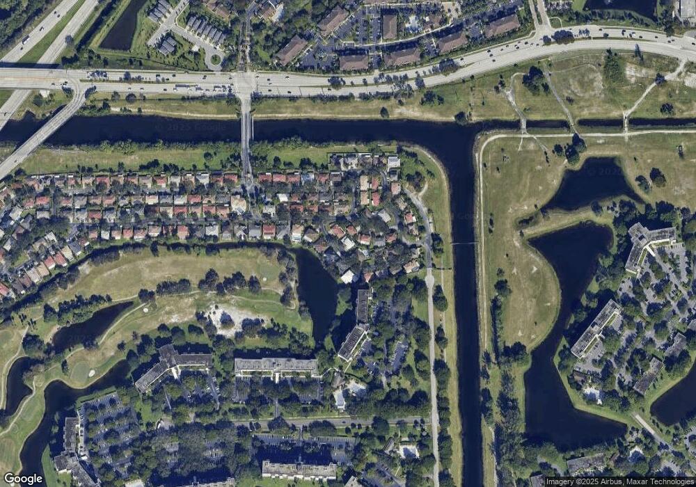
Map
Nearby Homes
- 3499 Oaks Way Unit 909
- 3433 Sands Harbor Trace
- 3434 Sahara Springs Blvd
- 3502 Dunes Vista Dr
- 3503 Oaks Way Unit 405
- 3503 Oaks Way Unit 409
- 3510 Oaks Way Unit 103
- 3510 Oaks Way Unit 601
- 3510 Oaks Way Unit 409
- 3080 N Course Dr Unit 202
- 3080 N Course Dr Unit 108
- 3080 N Course Dr Unit 309
- 3080 N Course Dr Unit 602
- 3080 N Course Dr Unit 810
- 3080 N Course Dr Unit 608
- 2681 S Course Dr Unit 109
- 2681 S Course Dr Unit 612
- 3520 Oaks Way Unit 1004
- 3520 Oaks Way Unit 308
- 3520 Oaks Way Unit 807
- 3420 Dunes Vista Dr
- 3410 Dunes Vista Dr
- 3421 Sands Harbor Trace
- 3422 Sands Harbor Trace
- 3408 Dunes Vista Dr
- 3428 Sands Harbor Trace
- 3432 Sands Harbor Trace
- 3411 Sands Harbor Trace
- 3415 Dunes Vista Dr Unit 97
- 3411 Sands Harbor Tc
- 3436 Dunes Vista Dr
- 3420 Sands Harbor Trace Unit 64
- 3414 Sands Harbor Trace
- 3431 Dunes Vista Dr
- 150 Mirage Ave
- 3404 Dunes Vista Dr
- 3408 Sands Harbor Trace
- 3405 Sands Harbor Trace
- 3424 Sahara Springs Blvd
- 3405 Dunes Vista Dr