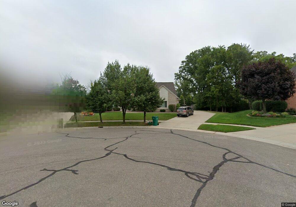
3432 Paramount Ln Auburn Hills, MI 48326
Estimated Value: $498,000 - $578,000
5
Beds
3
Baths
2,595
Sq Ft
$206/Sq Ft
Est. Value
About This Home
This home is located at 3432 Paramount Ln, Auburn Hills, MI 48326 and is currently estimated at $534,478, approximately $205 per square foot. 3432 Paramount Ln is a home located in Oakland County with nearby schools including Rogers Elementary, Pontiac Middle School, and Pontiac High School.
Ownership History
Date
Name
Owned For
Owner Type
Purchase Details
Closed on
Jun 29, 2001
Sold by
Giles Robert
Bought by
Nama Veereshaling
Current Estimated Value
Purchase Details
Closed on
Mar 28, 2000
Sold by
A R Development Inc
Bought by
Giles Robert
Home Financials for this Owner
Home Financials are based on the most recent Mortgage that was taken out on this home.
Original Mortgage
$252,700
Interest Rate
8.24%
Create a Home Valuation Report for This Property
The Home Valuation Report is an in-depth analysis detailing your home's value as well as a comparison with similar homes in the area
Home Values in the Area
Average Home Value in this Area
Purchase History
| Date | Buyer | Sale Price | Title Company |
|---|---|---|---|
| Nama Veereshaling | $319,000 | -- | |
| Giles Robert | $278,900 | -- |
Source: Public Records
Mortgage History
| Date | Status | Borrower | Loan Amount |
|---|---|---|---|
| Previous Owner | Giles Robert | $252,700 | |
| Closed | Nama Veereshaling | -- |
Source: Public Records
Tax History Compared to Growth
Tax History
| Year | Tax Paid | Tax Assessment Tax Assessment Total Assessment is a certain percentage of the fair market value that is determined by local assessors to be the total taxable value of land and additions on the property. | Land | Improvement |
|---|---|---|---|---|
| 2024 | $2,646 | $216,830 | $0 | $0 |
| 2023 | $2,525 | $198,860 | $0 | $0 |
| 2022 | $6,943 | $177,590 | $0 | $0 |
| 2021 | $6,794 | $166,770 | $0 | $0 |
| 2020 | $4,749 | $165,400 | $0 | $0 |
| 2019 | $6,358 | $162,990 | $0 | $0 |
| 2018 | $6,216 | $160,170 | $0 | $0 |
| 2017 | $6,090 | $160,190 | $0 | $0 |
| 2016 | $6,044 | $155,390 | $0 | $0 |
| 2015 | -- | $140,520 | $0 | $0 |
| 2014 | -- | $130,020 | $0 | $0 |
| 2011 | -- | $112,220 | $0 | $0 |
Source: Public Records
Map
Nearby Homes
- 3634 Camden Ct
- 3879 Teakwood Ln
- 3232 Paramount Ln
- 3890 Hillsdale Dr
- 3654 Fairgrove Ln Unit 165
- 3095 Bridgewater Rd Unit 30
- 391 Silvervale Dr
- 423 Silvervale Dr
- 3057 Bridgewater Rd
- 753 Medinah Dr
- 4070 Blue Heron Dr
- 1102 Cobridge Dr
- 3399 Shimmons Rd
- 404 Shellbourne Dr
- 3377 Charlwood Dr
- 3420 Grove Ln
- 3111 Ramzi Ln
- 1766 Snowden Cir
- 5555 Walton Blvd
- 7777 Walton Blvd
- 3444 Paramount Ln Unit 46
- 3422 Paramount Ln
- 3456 Paramount Ln
- V/L Tienken Rd
- 3977 W Tienken Rd
- 3406 Paramount Ln
- 3472 Paramount Ln Unit 48
- 3405 Paramount Ln
- 3610 Camden Ct
- 3608 Camden Ct
- 3391 Paramount Ln
- 3390 Paramount Ln
- 1069 Olympia Dr
- 3606 Camden Ct Unit 50
- 3612 Camden Ct
- 3438 Oxford W Unit 49
- 3910 Coachwood Ln
- 3604 Camden Ct Unit Bldg-Unit
- 3604 Camden Ct Unit 51
- 1053 Olympia Dr