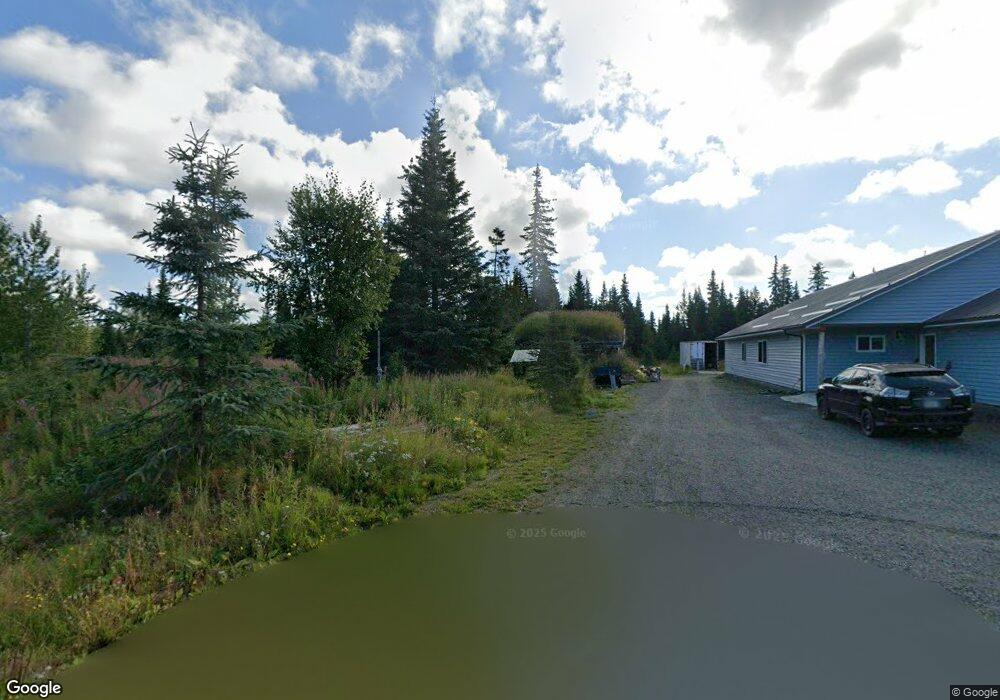
34321 North Fork Rd Anchor Point, AK 99556
Estimated Value: $98,000 - $473,000
--
Bed
1
Bath
2,634
Sq Ft
$123/Sq Ft
Est. Value
About This Home
This home is located at 34321 North Fork Rd, Anchor Point, AK 99556 and is currently estimated at $324,948, approximately $123 per square foot. 34321 North Fork Rd is a home located in Kenai Peninsula Borough with nearby schools including Chapman School and Homer High School.
Ownership History
Date
Name
Owned For
Owner Type
Purchase Details
Closed on
Oct 1, 2020
Sold by
Warrington Merriam L and Schwert Helen
Bought by
Dunson Susan and Dunson John
Current Estimated Value
Home Financials for this Owner
Home Financials are based on the most recent Mortgage that was taken out on this home.
Original Mortgage
$249,300
Outstanding Balance
$221,739
Interest Rate
2.9%
Mortgage Type
New Conventional
Estimated Equity
$103,209
Purchase Details
Closed on
May 9, 2003
Sold by
Warrington Merriam L
Bought by
Warrington Merriam L and Schwert Helen
Home Financials for this Owner
Home Financials are based on the most recent Mortgage that was taken out on this home.
Original Mortgage
$89,458
Interest Rate
4.62%
Mortgage Type
Purchase Money Mortgage
Create a Home Valuation Report for This Property
The Home Valuation Report is an in-depth analysis detailing your home's value as well as a comparison with similar homes in the area
Home Values in the Area
Average Home Value in this Area
Purchase History
| Date | Buyer | Sale Price | Title Company |
|---|---|---|---|
| Dunson Susan | -- | None Available | |
| Warrington Merriam L | -- | First American Title Of Alas |
Source: Public Records
Mortgage History
| Date | Status | Borrower | Loan Amount |
|---|---|---|---|
| Open | Dunson Susan | $249,300 | |
| Previous Owner | Warrington Merriam L | $89,458 |
Source: Public Records
Tax History Compared to Growth
Tax History
| Year | Tax Paid | Tax Assessment Tax Assessment Total Assessment is a certain percentage of the fair market value that is determined by local assessors to be the total taxable value of land and additions on the property. | Land | Improvement |
|---|---|---|---|---|
| 2025 | $3,262 | $358,600 | $34,100 | $324,500 |
| 2024 | $3,262 | $316,400 | $30,500 | $285,900 |
| 2023 | $3,352 | $311,200 | $25,400 | $285,800 |
| 2022 | $3,263 | $294,200 | $17,300 | $276,900 |
| 2021 | $993 | $287,200 | $16,700 | $270,500 |
| 2020 | $0 | $306,700 | $16,700 | $290,000 |
| 2019 | $1,105 | $298,600 | $19,700 | $278,900 |
| 2018 | $993 | $278,600 | $19,700 | $258,900 |
| 2017 | $727 | $233,200 | $19,700 | $213,500 |
| 2016 | $800 | $246,600 | $19,700 | $226,900 |
| 2015 | $1,998 | $267,900 | $19,700 | $248,200 |
| 2014 | $1,998 | $223,500 | $19,700 | $203,800 |
Source: Public Records
Map
Nearby Homes
- 70975 Mark Ln
- 34581 N Fork Rd
- 33045 Sterling Hwy
- 73340 School Ave
- 31890 Whiskey Gulch St
- 000 Old Sterling Hwy
- 31885 Whiskey Gulch St
- 34191 Chapman St
- L3 Aquila Wings Rd
- L1 Aquila Wings Rd
- L7 Brow Tine Rd
- L2 Aquila Wings Rd
- 35232 N Fork Rd
- 34728 N Fork Rd
- 72715 Kingair Ave
- 72278 Valleyside Ave
- 32775 Shorebird Ln
- 32879 Shorebird Ln
- 32425 Sterling Hwy
- 31315 Birch Haven Rd
- 70970 Mark Ln
- 70930 Mark Ln
- 34341 North Fork Rd
- 34341 North Fork Rd
- Mi 1.75 N Fork Rd
- 34325 North Fork Rd
- 34320 North Fork Rd
- 34320 North Fork Rd
- 70890 Mark Ln
- 70735 Mark Ln
- 34310 N North Fork Rd
- 34310 N Fork Rd
- 34359 North Fork Rd
- 70840 Mark Ln
- 34300 North Fork Rd
- 34300 North Fork Rd
- 34305 North Fork Rd
- 34290 North Fork Rd
- 33640 & 06 Branscoms Rd
- 70845 Mark Ln