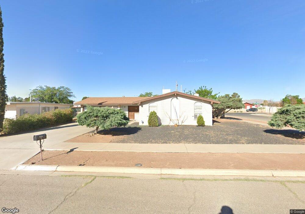
3433 Brookrock St El Paso, TX 79935
Pebble Hills NeighborhoodEstimated Value: $208,263 - $230,000
--
Bed
1
Bath
1,322
Sq Ft
$163/Sq Ft
Est. Value
About This Home
This home is located at 3433 Brookrock St, El Paso, TX 79935 and is currently estimated at $215,066, approximately $162 per square foot. 3433 Brookrock St is a home located in El Paso County with nearby schools including Robbin E L Washington Elementary School, J M Hanks High School, and New World Montessori School.
Ownership History
Date
Name
Owned For
Owner Type
Purchase Details
Closed on
Feb 17, 1996
Sold by
Williamson Franklin D and Williamson Delia
Bought by
Rojas Theresa A
Current Estimated Value
Home Financials for this Owner
Home Financials are based on the most recent Mortgage that was taken out on this home.
Original Mortgage
$50,350
Outstanding Balance
$1,652
Interest Rate
7.04%
Mortgage Type
Seller Take Back
Estimated Equity
$213,414
Create a Home Valuation Report for This Property
The Home Valuation Report is an in-depth analysis detailing your home's value as well as a comparison with similar homes in the area
Home Values in the Area
Average Home Value in this Area
Purchase History
| Date | Buyer | Sale Price | Title Company |
|---|---|---|---|
| Rojas Theresa A | -- | -- |
Source: Public Records
Mortgage History
| Date | Status | Borrower | Loan Amount |
|---|---|---|---|
| Open | Rojas Theresa A | $50,350 | |
| Closed | Rojas Theresa A | $12,500 |
Source: Public Records
Tax History Compared to Growth
Tax History
| Year | Tax Paid | Tax Assessment Tax Assessment Total Assessment is a certain percentage of the fair market value that is determined by local assessors to be the total taxable value of land and additions on the property. | Land | Improvement |
|---|---|---|---|---|
| 2025 | $5,117 | $202,529 | $24,001 | $178,528 |
| 2024 | $5,117 | $186,299 | $24,001 | $162,298 |
| 2023 | $5,183 | $178,082 | $24,001 | $154,081 |
| 2022 | $5,243 | $168,852 | $24,001 | $144,851 |
| 2021 | $4,357 | $134,049 | $24,001 | $110,048 |
| 2020 | $3,740 | $118,415 | $21,416 | $96,999 |
| 2018 | $3,654 | $117,513 | $21,416 | $96,097 |
| 2017 | $3,298 | $107,901 | $21,416 | $86,485 |
| 2016 | $3,298 | $107,901 | $21,416 | $86,485 |
| 2015 | $3,237 | $112,871 | $21,416 | $91,455 |
| 2014 | $3,237 | $113,130 | $21,416 | $91,714 |
Source: Public Records
Map
Nearby Homes
- 3425 Brookrock St
- 3400 Brookrock St
- 10602 Drillstone Dr
- 3369 Freeport Dr
- 3453 Guthrie St
- 10605 Kinross Ave Unit B
- 10816 Cardigan Dr
- 10405 Darin Rd
- 10649 Islerock Dr
- 3213 Isla Cocoa Ln
- 3332 Dungarvan Dr
- 3317 Dungarvan Dr
- 10216 Cardigan Dr
- 3345 Wexford Dr
- 3150 N Yarbrough Dr Unit A1
- 3318 Limerick Rd
- 10905 Sagebrush Way Unit A & B
- 3112 Eads Place
- 3324 Kilgore Place
- 3320 Tyrone Rd
- 3433 Brookrock St
- 3429 Brookrock St
- 10645 Coralstone Dr
- 10660 Coralstone Dr
- 10660 Coralstone Dr
- 10649 Coralstone Dr
- 10653 Coralstone Dr
- 10636 Coralstone Dr
- 3428 Brookrock St
- 3421 Brookrock St
- 10641 Drillstone Dr
- 10657 Coralstone Dr
- 10664 Coralstone Dr
- 3424 Brookrock St
- 10637 Coralstone Dr
- 10640 Birthstone Dr
- 10644 Birthstone Dr
- 10632 Coralstone Dr
- 3417 Brookrock St
- 11504 Drillstone Dr