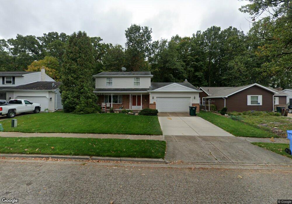
3435 Gingersnap Ln Lansing, MI 48911
Averill Woods NeighborhoodEstimated Value: $225,000 - $270,000
3
Beds
2
Baths
2,733
Sq Ft
$91/Sq Ft
Est. Value
About This Home
This home is located at 3435 Gingersnap Ln, Lansing, MI 48911 and is currently estimated at $248,301, approximately $90 per square foot. 3435 Gingersnap Ln is a home located in Ingham County with nearby schools including Averill Elementary School, Attwood School, and J.W. Sexton High School.
Ownership History
Date
Name
Owned For
Owner Type
Purchase Details
Closed on
May 22, 2008
Sold by
Bentley Daryl W
Bought by
Lasalle Bank Na and First Franklin Mortgage Loan Trust 2007-
Current Estimated Value
Purchase Details
Closed on
Jan 29, 2007
Sold by
Evert William F and Evert Mary Ann
Bought by
Bentley Daryl W
Home Financials for this Owner
Home Financials are based on the most recent Mortgage that was taken out on this home.
Original Mortgage
$135,150
Interest Rate
9.45%
Mortgage Type
Stand Alone First
Create a Home Valuation Report for This Property
The Home Valuation Report is an in-depth analysis detailing your home's value as well as a comparison with similar homes in the area
Home Values in the Area
Average Home Value in this Area
Purchase History
| Date | Buyer | Sale Price | Title Company |
|---|---|---|---|
| Lasalle Bank Na | $78,534 | None Available | |
| Bentley Daryl W | $159,000 | Tri County |
Source: Public Records
Mortgage History
| Date | Status | Borrower | Loan Amount |
|---|---|---|---|
| Previous Owner | Bentley Daryl W | $135,150 |
Source: Public Records
Tax History
| Year | Tax Paid | Tax Assessment Tax Assessment Total Assessment is a certain percentage of the fair market value that is determined by local assessors to be the total taxable value of land and additions on the property. | Land | Improvement |
|---|---|---|---|---|
| 2025 | $3,532 | $105,500 | $11,200 | $94,300 |
| 2024 | $28 | $102,500 | $11,200 | $91,300 |
| 2023 | $3,311 | $88,900 | $11,200 | $77,700 |
| 2022 | $2,983 | $80,800 | $11,200 | $69,600 |
| 2021 | $2,921 | $77,200 | $10,500 | $66,700 |
| 2020 | $2,904 | $72,000 | $10,500 | $61,500 |
| 2019 | $2,784 | $64,100 | $10,500 | $53,600 |
| 2018 | $2,608 | $56,200 | $10,500 | $45,700 |
| 2017 | $2,497 | $56,200 | $10,500 | $45,700 |
| 2016 | $2,388 | $49,900 | $10,500 | $39,400 |
| 2015 | $2,388 | $45,600 | $21,076 | $24,524 |
| 2014 | $2,388 | $42,600 | $21,076 | $21,524 |
Source: Public Records
Map
Nearby Homes
- 3618 Malibu Dr
- 3112 Shetland Rd
- 2 Locust Ln
- 3230 S Deerfield Ave
- 3425 Cooley Dr
- 0 S Deerfield Ave
- 2500 Skye Rd
- 3401 S Deerfield Ave
- 3522 Saint Andrews Cir Unit 33
- 3721 Kendalwood Dr
- 2924 Woodview Dr
- 3508 Muirfield Dr
- 3100 Glenbrook Dr
- 3601 Muirfield Dr
- 3612 Muirfield Dr Unit 5
- 3924 Wedgewood Dr
- 2408 Dunlap St
- 2409 Victor Ave
- 2200 Rossiter Place
- 4209 Brighton Dr
- 3501 Gingersnap Ln
- 3429 Gingersnap Ln
- 3507 Ginger Snap Ln
- 3507 Gingersnap Ln
- 3507 Ginger
- 3423 Gingersnap Ln
- 3513 Gingersnap Ln
- 3432 Gingersnap Ln
- 3500 Gingersnap Ln
- 3500 Ginger
- 3426 Gingersnap Ln
- 3417 Gingersnap Ln
- 3506 Gingersnap Ln
- 3519 Ginger Snap Ln
- 3420 Gingersnap Ln
- 3420 Ginger Snap Ln
- 3512 Gingersnap Ln
- 3411 Gingersnap Ln
- 3525 Gingersnap Ln
Your Personal Tour Guide
Ask me questions while you tour the home.