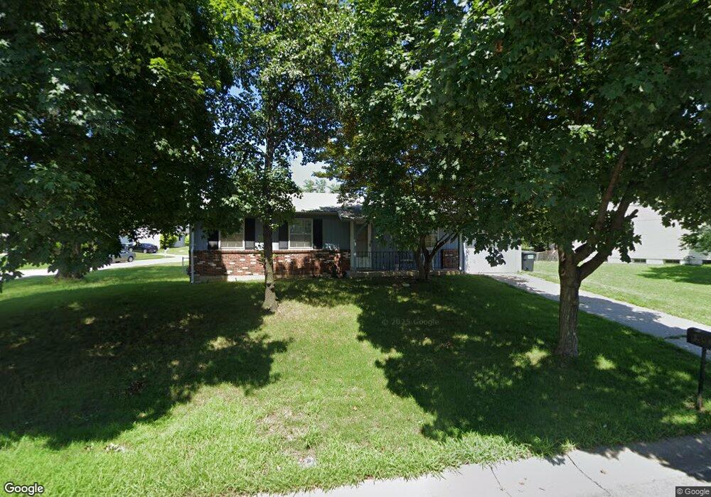
3436 Fleet Ln Saint Charles, MO 63301
Old Town Saint Charles NeighborhoodEstimated Value: $241,547 - $260,000
3
Beds
1
Bath
912
Sq Ft
$276/Sq Ft
Est. Value
About This Home
This home is located at 3436 Fleet Ln, Saint Charles, MO 63301 and is currently estimated at $251,887, approximately $276 per square foot. 3436 Fleet Ln is a home located in St. Charles County with nearby schools including Monroe Elementary School, Jefferson Intermediate School, and Hardin Middle School.
Ownership History
Date
Name
Owned For
Owner Type
Purchase Details
Closed on
Jul 9, 2003
Sold by
Cooper Pearlie I
Bought by
Cooper Pearlie I and Blackshear Vaughn
Current Estimated Value
Home Financials for this Owner
Home Financials are based on the most recent Mortgage that was taken out on this home.
Original Mortgage
$65,000
Interest Rate
5.24%
Mortgage Type
Purchase Money Mortgage
Create a Home Valuation Report for This Property
The Home Valuation Report is an in-depth analysis detailing your home's value as well as a comparison with similar homes in the area
Home Values in the Area
Average Home Value in this Area
Purchase History
| Date | Buyer | Sale Price | Title Company |
|---|---|---|---|
| Cooper Pearlie I | -- | -- | |
| Cooper Pearlie I | -- | -- |
Source: Public Records
Mortgage History
| Date | Status | Borrower | Loan Amount |
|---|---|---|---|
| Previous Owner | Cooper Pearlie I | $65,000 |
Source: Public Records
Tax History
| Year | Tax Paid | Tax Assessment Tax Assessment Total Assessment is a certain percentage of the fair market value that is determined by local assessors to be the total taxable value of land and additions on the property. | Land | Improvement |
|---|---|---|---|---|
| 2025 | $2,484 | $40,141 | -- | -- |
| 2024 | $2,484 | $37,529 | -- | -- |
| 2023 | $2,478 | $37,529 | -- | -- |
| 2022 | $2,175 | $30,596 | $0 | $0 |
| 2021 | $2,171 | $30,596 | $0 | $0 |
| 2020 | $1,871 | $25,663 | $0 | $0 |
| 2019 | $1,856 | $25,663 | $0 | $0 |
| 2018 | $1,856 | $24,568 | $0 | $0 |
| 2017 | $1,847 | $24,568 | $0 | $0 |
| 2016 | $1,698 | $22,606 | $0 | $0 |
| 2015 | $1,695 | $22,606 | $0 | $0 |
| 2014 | $1,623 | $21,334 | $0 | $0 |
Source: Public Records
Map
Nearby Homes
- 3407 Highgate Ln
- 3263 Janton Ln
- 3051 Saint Daphne Dr
- 710 Antler Ridge Dr
- 2876 Danube Way
- 160 Dornoch Dr
- 3079 Shady Oak Dr Unit 15B
- 2965 Landau Ct
- 3031 Bluffwood Dr
- 3321 Clemens Dr
- 2233 Campus Dr
- 3457 Truman Terrace Dr Unit 11
- 3508 Truman Terrace Dr Unit 55
- 3430 Riverchase Pkwy
- 3465 Foxborough Cir
- 3401 Droste Rd
- 3429 Riverchase Pkwy
- 76 Ruth Dr
- 21 Cambrian Way
- 3 Fairways Cir Unit J
- 3439 Highgate Ln
- 3432 Fleet Ln
- 3435 Highgate Ln
- 3444 Highgate Ln
- 3505 Fleet Ln
- 3500 York Dr
- 3509 Fleet Ln
- 3428 Fleet Ln
- 3431 Highgate Ln
- 3501 York Dr
- 3440 Highgate Ln
- 3520 Fleet Ln
- 3513 Fleet Ln
- 3438 Highgate Ln
- 3429 Fleet Ln
- 3436 Highgate Ln
- 3424 Fleet Ln
- 3427 Highgate Ln
- 3517 Fleet Ln
- 3524 Fleet Ln
Your Personal Tour Guide
Ask me questions while you tour the home.